
Blackberry Way in Central Lawrenceville, Pittsburgh, Pennsylvania
Blackberry Way in Central Lawrenceville in Pittsburgh is a service road and runs in a Northeast direction starting from 47th Street and ends in a cul-de-sac.
- Road Type
- service road
- Route
- northeast-southwest
Image
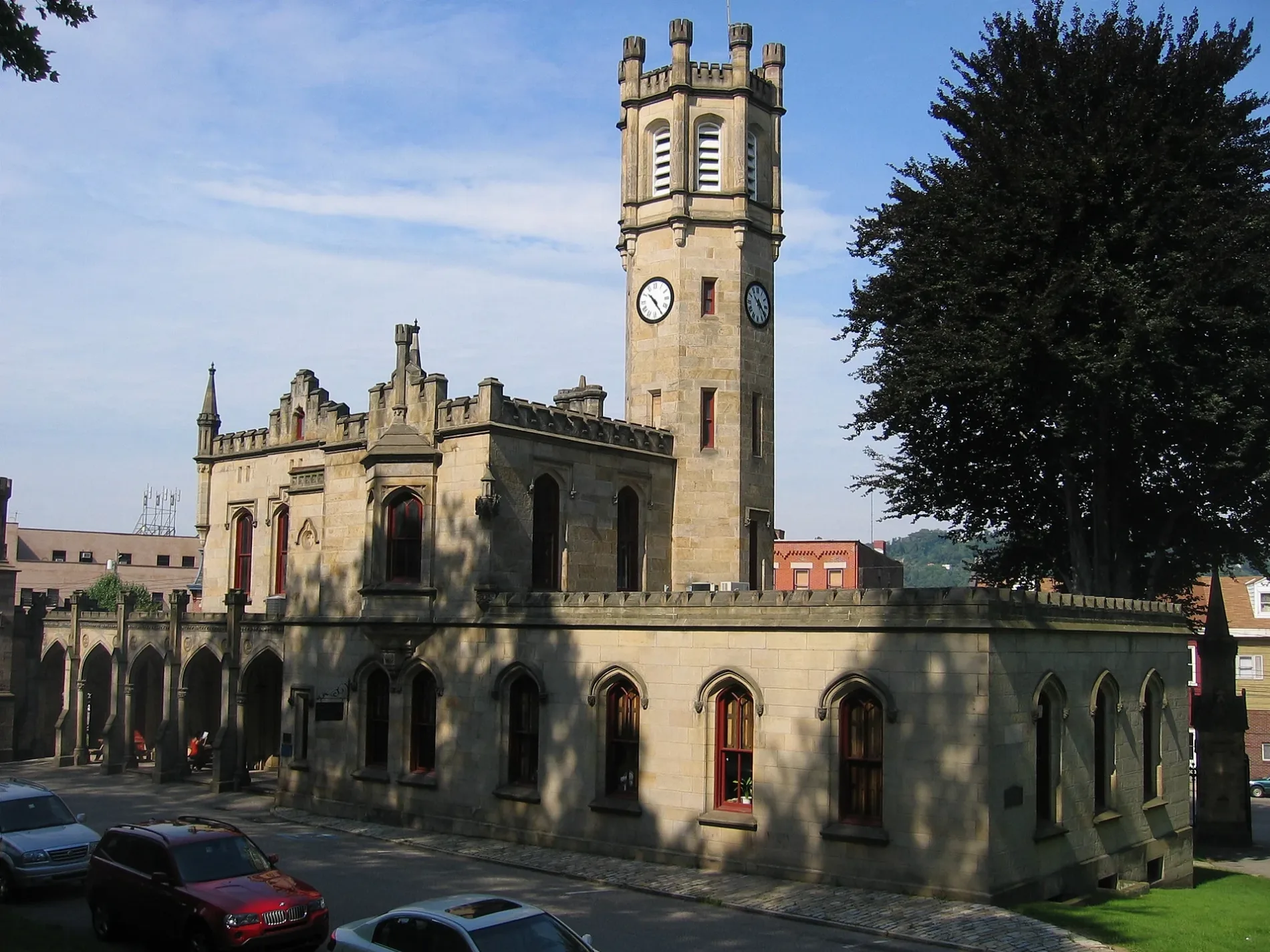
Pubs
Clothing stores
Studios
Bars
Bus stops
Bakeries
Funeral homes
Restaurants
Beverage stores
Wine shops
Hair salons
Streets nearby
47th Street300 ft
Home Street400 ft
Holly Way400 ft
Plummer Street400 ft
Modoc Way400 ft
Umpire WayBarb's Country Kitchen
500 ft
Modoc Street0.1 mi
Lycurgus Way0.1 mi
Hatfield Street0.1 mi
Plum Way0.1 mi
Butler StreetButler St Opp 48th St, Butler Street at 49th Street, Butler Street opp 49th Street, Butler Street opp 50th Street (Stanton Avenue), The Pitch on Butler, Supreme Pizza, Clarissa Boutique, La Gourmandine, The Abbey on Butler Street, Butler St at 46th St, Butler St Opp 47th St, Butler St at 47th St, Lawrence Hall, MSTR, The Goldmark, Mid-Atlantic Mercantile, Rogue Tattoo, Six16, The IMPERFECT Gallery, Butler St at 44th St, Nanban, Convive Coffee, Love Bikes, Bierport, Gerbe Glass, Derby, Industry Public House, Phoenix Chinese Massage, Row House Cinema, Wagner Shoes, Wild Card, Butler Street News & More, Lawrenceville Vision Care, Pesaro's Pizza, Seasonal Nails, Party on Butler, Una Biologicals, Butler St at 43rd St, Pittsburgh Furniture Company, Butler St at 41st Street, Butler Street at Main St, Bar Botanico, Geppetto Cafe, Mezcal Mexican Cantina, Arsenal Beer Emporium, Standing Wave Coffee, Sunoco
0.1 mi
Cotton WayRadiant Hall Studios
0.1 mi
Antwerp Way0.1 mi
Harrison Street0.2 mi
Locarna Way0.2 mi
48th StreetBeer on Butler, Butler St at 48th St
0.2 mi
45th StreetNew Amsterdam, Banh Mi & Ti
0.2 mi
44th StreetWalter J. Zalewski Funeral Homes, In, Dental Services, Pediatric, The Parlor Dim Sum
0.2 mi
43 1/2 Street0.2 mi
Cessna Way0.3 mi
Lawrence Street0.3 mi
43rd StreetUPMC Greater Pittsburgh Medical Associates, Mr Friez, Cork Harbour Pub, Condado Tacos
0.3 mi
Willow Street0.3 mi
Smith Way0.3 mi
Lawrenceville Trail0.3 mi
42nd StreetLawrenceville's Smile Center, FRIO Creamery, POGOH - 42nd Street & Butler Street
0.3 mi
Foster Street0.3 mi
Banner Way0.3 mi
Pleasant WayNew Bethel Baptist Church
0.3 mi
Summit Street0.3 mi
Belltower Lane0.3 mi
Bay 41Lawrenceville Farmers Market
0.3 mi
41st StreetFine Wine & Good Spirits
0.4 mi
Eden WayArsenal Post Office, Walter's Southern Kitchen
0.4 mi
Almond WayButler Street Coin-Operated Laundromat, Pittsburgh Kitchenrama, Cilantro & Ajo Lawrenceville
0.4 mi
Shops nearby
Market House0.4 mi
Buildings nearby
Diglah Middle Eastern Restaurant and Hookah Lounge0.4 mi
Event venues nearby
Cattivo0.2 mi
Funeral homes nearby
Zalewski Funeral Home0.3 mi
Hardware stores nearby
Busy Beaver450 ft
Industrial areas nearby
43rd Street Concrete Co.0.3 mi
Industrial buildings nearby
Carnegie Robotics LLC0.2 mi
Office buildings nearby
Tech Forge0.1 mi
Teamster Temple0.1 mi
Parks nearby
Leslie Recreation Center0.2 mi
Playgrounds nearby
Leslie Playground0.2 mi
Railways nearby
Allegheny Subdivision0.2 mi
Residential buildings nearby
The Foundry at 41st0.3 mi
Restaurants nearby
The Vandal0.3 mi
Public transit map Central Lawrenceville Legend
| Railway | |
| Bus | |
| Streetcar |
Bicycle map Central Lawrenceville Legend
| Bike path | |
| Bike lane on roadway | |
| Cycling allowed on bus lane | |
| Bicycle street | |
| Open to cyclists | |
| Open to cyclists, good path | |
| Cycling prohibited | |
| Cobblestone |
| Long-distance bike route | (depending on scale) | |
| Long-distance bike route |
Pedestrian map Central Lawrenceville Legend
| Path |
| Long-distance hiking trail | (depending on scale) | |
| Long-distance hiking trail | ||
| Pedestrians prohibited |