
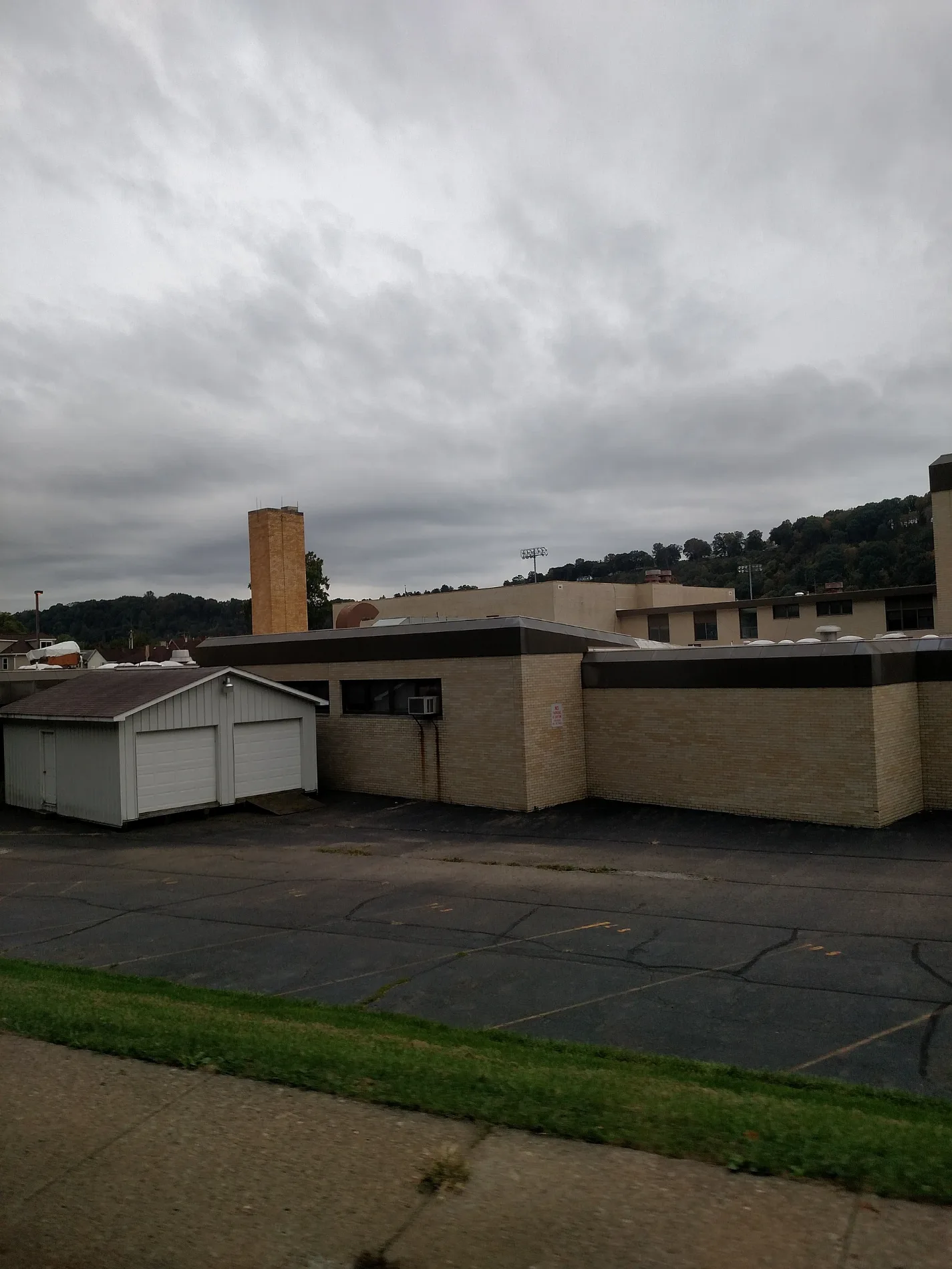
North Grant Avenue in Kittanning, Pennsylvania
North Grant Avenue in Kittanning is a residential street and runs in a north-south direction starting from Neubert Street and ends at Smith Street. This street is part of the Bicycle route "Armstrong Trail".
- Road Type
- residential street
- Route
- north-south
Image
Schools
Fast food restaurants
Streets nearby
Neubert Street100 ft
Jacobs Alley200 ft
Smith Street300 ft
Johnston Avenue350 ft
Colwell Street350 ft
Orr AvenueEwing
400 ft
Ewing Street500 ft
Armstrong Trail500 ft
Glenn Street0.1 mi
Terrace Avenue0.2 mi
Lemon Way0.2 mi
Sirwell Street0.2 mi
Victory Street0.2 mi
Martin Street0.2 mi
Wilson Avenue0.4 mi
Orchard Road0.4 mi
Montieth StreetWick City
0.4 mi
Elm Drive0.4 mi
Ocean Street0.4 mi
Maple Lane0.4 mi
Rayburn Street0.5 mi
Sr4023Williamsburg
0.5 mi
Community Park Road0.5 mi
Beech Street0.5 mi
North Water Street0.5 mi
Fair Street0.5 mi
Locust Lane0.5 mi
Cedar Drive0.5 mi
Highland Avenue0.6 mi
Hickory Street0.6 mi
Mc Canna Street0.6 mi
Lindenwood Drive0.6 mi
Blackthorn Drive0.7 mi
Federal Street0.7 mi
Caruso Street0.7 mi
North Avenue0.7 mi
Upper Troy Hill Road0.8 mi
Alley Street0.8 mi
Bars nearby
Wick City Saloon0.4 mi
Cemeteries nearby
St. Mary's Cemetery0.3 mi
Kittanning Cemetery0.7 mi
Industrial buildings nearby
Verretec0.3 mi
Parks nearby
Community Park0.1 mi
Railways nearby
Pittsburg and Shawmut Railroad0.4 mi
Restaurants nearby
Allegheny Mariner500 ft
School buildings nearby
Kittanning Senior High School0.2 mi
Sports centers nearby
Richard G. Snyder YMCA0.4 mi
YMCA Annex0.4 mi
Sports fields nearby
Judd Field0.3 mi
 Public transit map Kittanning Legend
| Railway | |
| Bus | |
| Streetcar |
 Bicycle map Kittanning Legend
| Bike path | |
| Bike lane on roadway | |
| Cycling allowed on bus lane | |
| Bicycle street | |
| Open to cyclists | |
| Open to cyclists, good path | |
| Cycling prohibited | |
| Cobblestone |
| Long-distance bike route | (depending on scale) | |
| Long-distance bike route |
 Pedestrian map Kittanning Legend
| Path |
| Long-distance hiking trail | (depending on scale) | |
| Long-distance hiking trail | ||
| Pedestrians prohibited |