
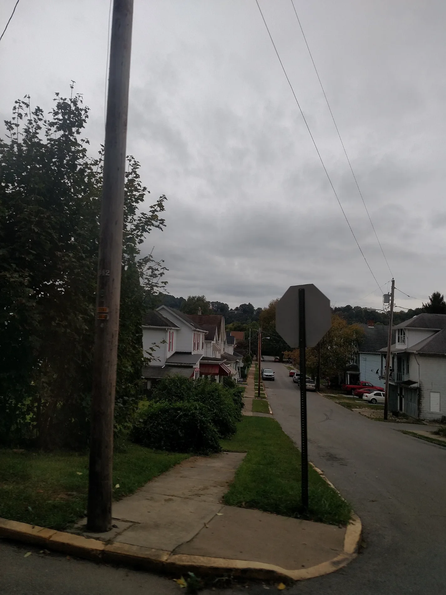
Mc Canna Street in Kittanning, Pennsylvania
Mc Canna Street in Kittanning is a residential street. It runs in a northeast-southwest direction starting from Johnston Avenue and crosses Federal Street and Woodward Avenue and ends at North Grant Avenue.
- Road Type
- residential street
- Route
- northeast-southwest
Image
Schools
Fast food restaurants
Streets nearby
Highland Avenue350 ft
Federal Street400 ft
Caruso Street400 ft
Fair Street400 ft
North Avenue0.1 mi
East Chestnut Street0.1 mi
Woodward Avenue0.1 mi
Rayburn Street0.1 mi
Hickory Street0.2 mi
Community Park Road0.2 mi
Beech Street0.2 mi
Chestnut Street0.2 mi
Montieth StreetWick City
0.2 mi
North Water Street0.2 mi
Locust Street0.2 mi
Wilson Avenue0.2 mi
Hawthorne Avenue0.2 mi
Rebecca Street0.2 mi
North Grant Avenue0.3 mi
Hazel Street0.3 mi
North McKean StreetIndiana University of Pennsylvania - Armstrong Campus
0.3 mi
Union Avenue0.3 mi
Maple Street0.3 mi
Queen Street0.4 mi
East High Street0.4 mi
Union Way0.4 mi
Victory Street0.4 mi
West High Street0.4 mi
Sirwell Street0.5 mi
Orr AvenueEwing
0.5 mi
Sr4023Williamsburg
0.5 mi
Ewing Street0.5 mi
Armstrong Trail0.5 mi
Bars nearby
Wick City Saloon0.2 mi
Butcher shops nearby
Kevin's Quality Meats0.3 mi
Canals nearby
Lock Canal No. 70.5 mi
Commercial buildings nearby
First Impression Lawn Care0.4 mi
Industrial areas nearby
Upper Guard Wall0.5 mi
Allegheny River Lock and Dam No. 70.5 mi
Laundries nearby
George's Coin-Op0.3 mi
Parks nearby
Community Park0.5 mi
Places of worship nearby
First Church of God0.2 mi
Rivers nearby
Allegheny River0.4 mi
School buildings nearby
Kittanning Senior High School0.4 mi
Sports centers nearby
YMCA Annex0.3 mi
Richard G. Snyder YMCA0.3 mi
Sports fields nearby
Judd Field0.4 mi
Waters nearby
Lock No. 70.5 mi
Weirs nearby
Dam No. 70.4 mi
Public transit map Kittanning Legend
| Railway | |
| Bus | |
| Streetcar |
Bicycle map Kittanning Legend
| Bike path | |
| Bike lane on roadway | |
| Cycling allowed on bus lane | |
| Bicycle street | |
| Open to cyclists | |
| Open to cyclists, good path | |
| Cycling prohibited | |
| Cobblestone |
| Long-distance bike route | (depending on scale) | |
| Long-distance bike route |
Pedestrian map Kittanning Legend
| Path |
| Long-distance hiking trail | (depending on scale) | |
| Long-distance hiking trail | ||
| Pedestrians prohibited |