
East Chestnut Street in Kittanning, Pennsylvania
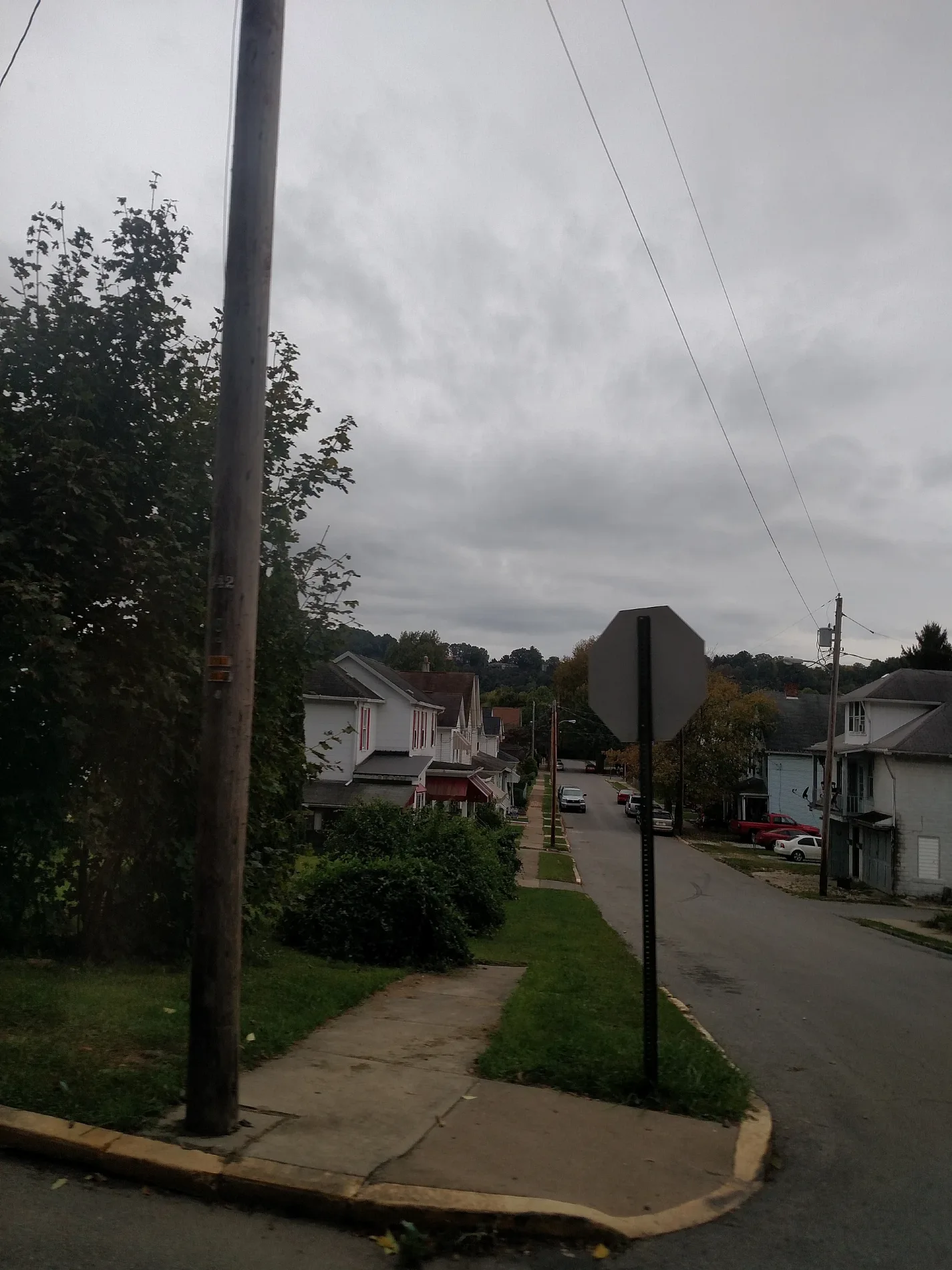
East Chestnut Street in Kittanning is a residential street. It runs in a northeast-southwest direction starting from Johnston Avenue and crosses Hawthorne Avenue and Woodward Avenue and ends at North Grant Avenue. East Chestnut Street also exists in Centre County, Union County, Huntingdon County, Mifflin County and Snyder County.
- Road Type
- residential street
- Route
- northeast-southwest
Image
Schools
Fast food restaurants
Streets nearby
Woodward Avenue150 ft
North Avenue200 ft
Federal Street350 ft
Caruso Street350 ft
Armstrong Trail400 ft
Locust Street0.1 mi
Hawthorne Avenue0.1 mi
Mc Canna Street0.1 mi
Chestnut Street0.2 mi
Rebecca Street0.2 mi
North McKean StreetIndiana University of Pennsylvania - Armstrong Campus
0.2 mi
Highland Avenue0.2 mi
Union Avenue0.2 mi
Fair Street0.2 mi
Queen Street0.2 mi
East High Street0.2 mi
Union Way0.2 mi
Oak Avenue0.2 mi
Hickory Street0.2 mi
Maple Street0.2 mi
Rayburn Street0.3 mi
Community Park Road0.3 mi
Beech Street0.3 mi
Reynolds Avenue0.3 mi
Montieth StreetWick City
0.3 mi
Kelly Street0.4 mi
Dwight Street0.4 mi
Robinson Street0.4 mi
Wilson Avenue0.4 mi
Rayburn Road0.4 mi
North Grant Avenue0.4 mi
Milligan Road0.4 mi
Lower Troy Hill Road0.4 mi
Alley Street0.5 mi
Yount Road0.5 mi
Upper Troy Hill Road0.6 mi
Bars nearby
Wick City Saloon0.4 mi
Sidebar0.4 mi
Butcher shops nearby
Kevin's Quality Meats0.2 mi
Cemeteries nearby
Kittanning Cemetery0.4 mi
Commercial buildings nearby
First Impression Lawn Care0.2 mi
Fire stations nearby
Rayburn Toowmship Fire Department0.4 mi
Industrial areas nearby
Clay Mine0.3 mi
Laundries nearby
George's Coin-Op0.2 mi
Museums nearby
Armstrong County Historical Museum & Genealogical Society, Inc0.3 mi
Places of worship nearby
First Church of God250 ft
Social facilities nearby
ARC Manor0.3 mi
Train stations nearby
Pennsylvania Railroad Freight Station0.3 mi
Pennsylvania Railroad Passenger Station0.3 mi
Public transit map Kittanning Legend
| Railway | |
| Bus | |
| Streetcar |
Bicycle map Kittanning Legend
| Bike path | |
| Bike lane on roadway | |
| Cycling allowed on bus lane | |
| Bicycle street | |
| Open to cyclists | |
| Open to cyclists, good path | |
| Cycling prohibited | |
| Cobblestone |
| Long-distance bike route | (depending on scale) | |
| Long-distance bike route |
Pedestrian map Kittanning Legend
| Path |
| Long-distance hiking trail | (depending on scale) | |
| Long-distance hiking trail | ||
| Pedestrians prohibited |