
Albion Road in Brownsville, Pennsylvania
Albion Road in Brownsville is a local road. It runs in a northeast-southwest direction and ends at Market Street, while the other end is a cul-de-sac. Albion Road also exists in Erie County.
- Road Type
- local road
- Route
- northeast-southwest
Image
Bars
Fire stations
Cemeteries
Libraries
Gas stations
Museums
Hair salons
Restaurants
Streets nearby
2nd Avenue0.1 mi
3rd Avenue0.2 mi
Market StreetFrank L. Melega Art Museum
0.2 mi
Brashear Street0.2 mi
Front Street0.2 mi
Brownsville Avenue0.2 mi
Spring Street0.2 mi
4th Avenue0.2 mi
Blaine Boulevard0.2 mi
Walnut Street0.2 mi
Penn Boulevard0.2 mi
Seneca Street0.2 mi
Charles Street0.2 mi
Liberty Street0.2 mi
Broadway Avenue0.2 mi
Water Boulevard0.2 mi
Brook Street0.2 mi
Nemacolin Street0.3 mi
Main Street0.3 mi
Blaine Avenue0.3 mi
Ash Street0.3 mi
Middle Street0.3 mi
Virginia Street0.3 mi
Huron0.3 mi
National Pike East0.3 mi
Vine Street0.3 mi
Locust Street0.4 mi
Buildings nearby
Monongehela Railway Freight Station500 ft
Union Station Freight Station500 ft
Flatiron Building0.1 mi
Union Station0.1 mi
White's Heating and Cooling0.2 mi
Clothing stores nearby
Ava Dawn Boutique0.2 mi
Convenience stores nearby
Mini0.2 mi
Fast food restaurants nearby
The Sandwich Shop & Deli0.2 mi
Fire stations nearby
West Brownsville Volunteer Fire Company0.2 mi
Galleries nearby
Frank L. Melega Art Museum0.1 mi
Gas stations nearby
Exxon0.2 mi
Hardware stores nearby
Bill Brown's Sunset Discount Store0.2 mi
Libraries nearby
Brownsville Free Public Library0.2 mi
Museums nearby
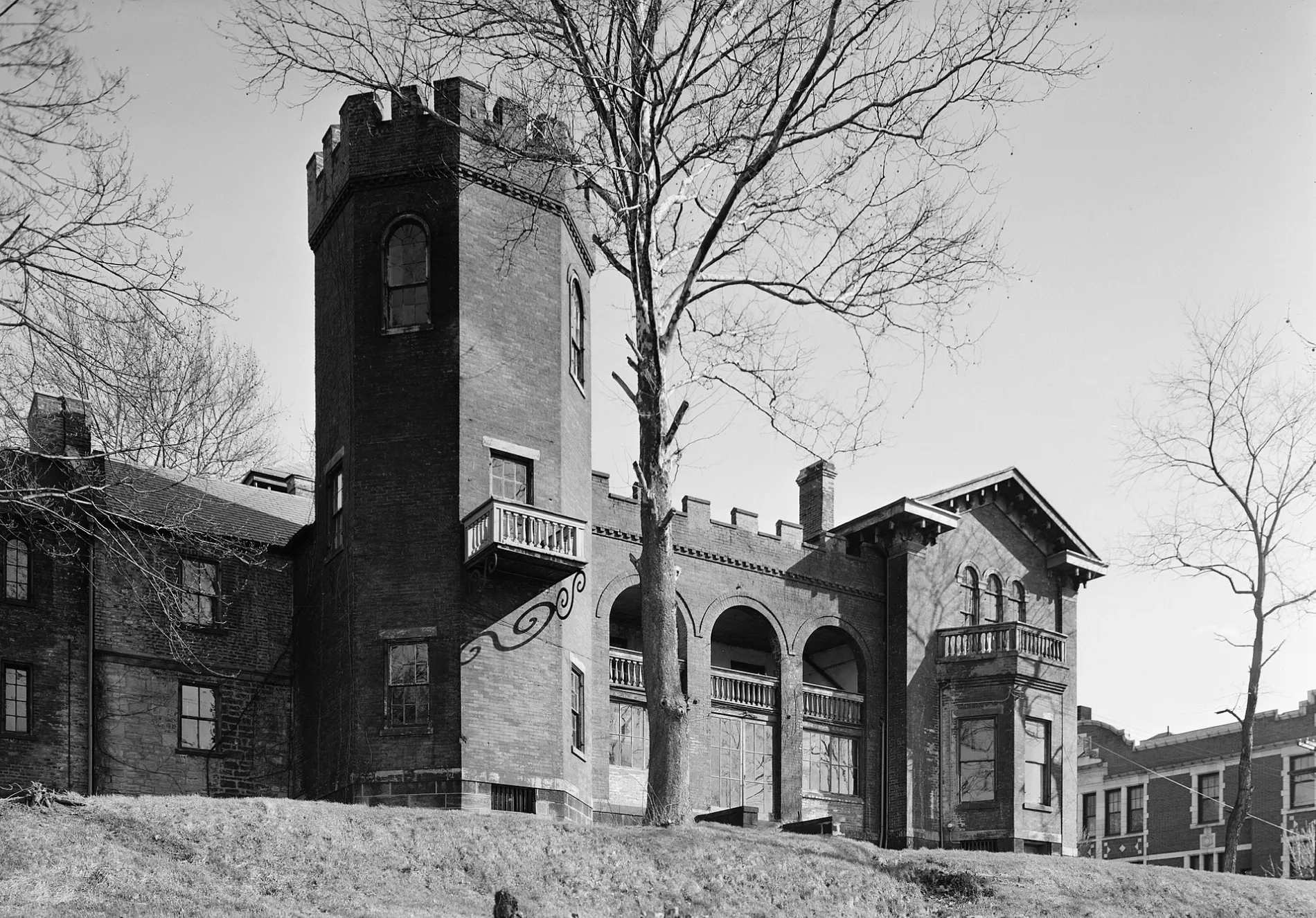
Nemacolin Castle400 ft
Pharmacies nearby
Brownsville Family Pharmacy0.2 mi
Places of worship nearby
New Life Assembly of God0.2 mi
Police stations nearby
West Brownsville Police Department0.3 mi
Post offices nearby
Brownsville Post Office0.2 mi
Railways nearby
Loveridge Secondary0.2 mi
Mon Line0.3 mi
Restaurants nearby
Fox's Pizza0.2 mi
Tobacco shops nearby
Leaning House Fine Cigars0.2 mi
 Public transit map Brownsville Legend
| Railway | |
| Bus | |
| Streetcar |
 Bicycle map Brownsville Legend
| Bike path | |
| Bike lane on roadway | |
| Cycling allowed on bus lane | |
| Bicycle street | |
| Open to cyclists | |
| Open to cyclists, good path | |
| Cycling prohibited | |
| Cobblestone |
| Long-distance bike route | (depending on scale) | |
| Long-distance bike route |
 Pedestrian map Brownsville Legend
| Path |
| Long-distance hiking trail | (depending on scale) | |
| Long-distance hiking trail | ||
| Pedestrians prohibited |