
Market Street in Brownsville, Pennsylvania
Market Street in Brownsville is a secondary road. It runs in an east-west direction starting from Water Street and crosses Bank Street, High Street, Brownsville Avenue, Brown Street, Albion Road and Spring Street. This street is part of the highways 40 and Historic National Road. Nearby there is a museum. Market Street also exists in Fayette City, Belle Vernon and Connellsville.
- Road Type
- secondary road
- Speed Limit
- 25 mph
- Route
- east-west
Image
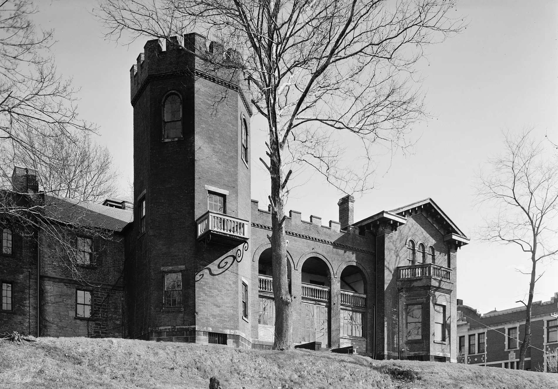
Museums
- Frank L. Melega Art Museum (Web).
Streets nearby
Charles Street450 ft
Seneca Street500 ft
Brownsville Avenue550 ft
Bank Street0.1 mi
Spice Alley0.2 mi
Bridge StreetBrownsville Free Public Library, Fiddle's Restaurant
0.2 mi
High StreetPickers Pub & Grub, Sunoco A-Plus
0.2 mi
Broadway Avenue0.2 mi
Water Boulevard0.2 mi
David Street0.2 mi
Broadway Boulevard0.2 mi
Arch Street0.2 mi
Liberty Street0.2 mi
Murphy Street0.2 mi
Blaine Boulevard0.2 mi
Prospect Street0.2 mi
Aubrey Lane0.2 mi
Cadwallader Street0.2 mi
Middle Street0.3 mi
Cherry Street0.3 mi
Bridge BoulevardWest Brownsville
0.3 mi
Penn Boulevard0.3 mi
Race Street0.3 mi
Main Street0.3 mi
Blaine Avenue0.3 mi
National Pike East0.4 mi
Ash Street0.4 mi
Lane-Bane Bridge0.4 mi
Buildings nearby
Union Station200 ft
Flatiron Building250 ft
Union Station Freight Station400 ft
Train Station Auto0.3 mi
White's Heating and Cooling0.3 mi
Clothing stores nearby
Ava Dawn Boutique250 ft
Fast food restaurants nearby
The Sandwich Shop & Deli200 ft
Fire stations nearby
West Brownsville Volunteer Fire Company0.2 mi
Galleries nearby
Frank L. Melega Art Museum350 ft
Hardware stores nearby
Bill Brown's Sunset Discount Store550 ft
Libraries nearby
Brownsville Free Public Library400 ft
Pharmacies nearby
Brownsville Family Pharmacy200 ft
Places of worship nearby
New Life Assembly of God400 ft
Holy Resurrection Orthodox Church0.2 mi
Police stations nearby
West Brownsville Police Department0.3 mi
Post offices nearby
Brownsville Post Office400 ft
Railways nearby
Loveridge Secondary0.1 mi
Mon Line0.3 mi
Rivers nearby
Monongahela River0.1 mi
Shopping malls nearby
Krause's Furniture0.1 mi
Tobacco shops nearby
Leaning House Fine Cigars300 ft
Public transit map Brownsville Legend
| Railway | |
| Bus | |
| Streetcar |
Bicycle map Brownsville Legend
| Bike path | |
| Bike lane on roadway | |
| Cycling allowed on bus lane | |
| Bicycle street | |
| Open to cyclists | |
| Open to cyclists, good path | |
| Cycling prohibited | |
| Cobblestone |
| Long-distance bike route | (depending on scale) | |
| Long-distance bike route |
Pedestrian map Brownsville Legend
| Path |
| Long-distance hiking trail | (depending on scale) | |
| Long-distance hiking trail | ||
| Pedestrians prohibited |