
Brownsville, Pennsylvania
Brownsville is located in Fayette County. About 2,185 people live here (as of 2020). Between 2010 and 2020, the population declined from 2,331 to 2,185. The region is at 277 meters above sea level. There are about 183 streets in Brownsville. The region was founded in 1785. The ZIP codes are 15417. The dialing code is 724. Brownsville is borough in Fayette County, Pennsylvania, United States. Among other things, Brownsville has restaurants, museums and hair Salons. More information at www.brownsvilleboro.com.
Brownsville – Facts
| Population | 2185 |
|---|---|
| Area | 1.1 |
| Year built | 1785 |
| Elevation | 277 m |
| Located in | Fayette County |
| Postal code | 15417 |
| Country | United States |
| Official name | Brownsville |
| Website | http://www.brownsvilleboro.com/ |
Data source: Wikidata (CC0)
Photos from Brownsville

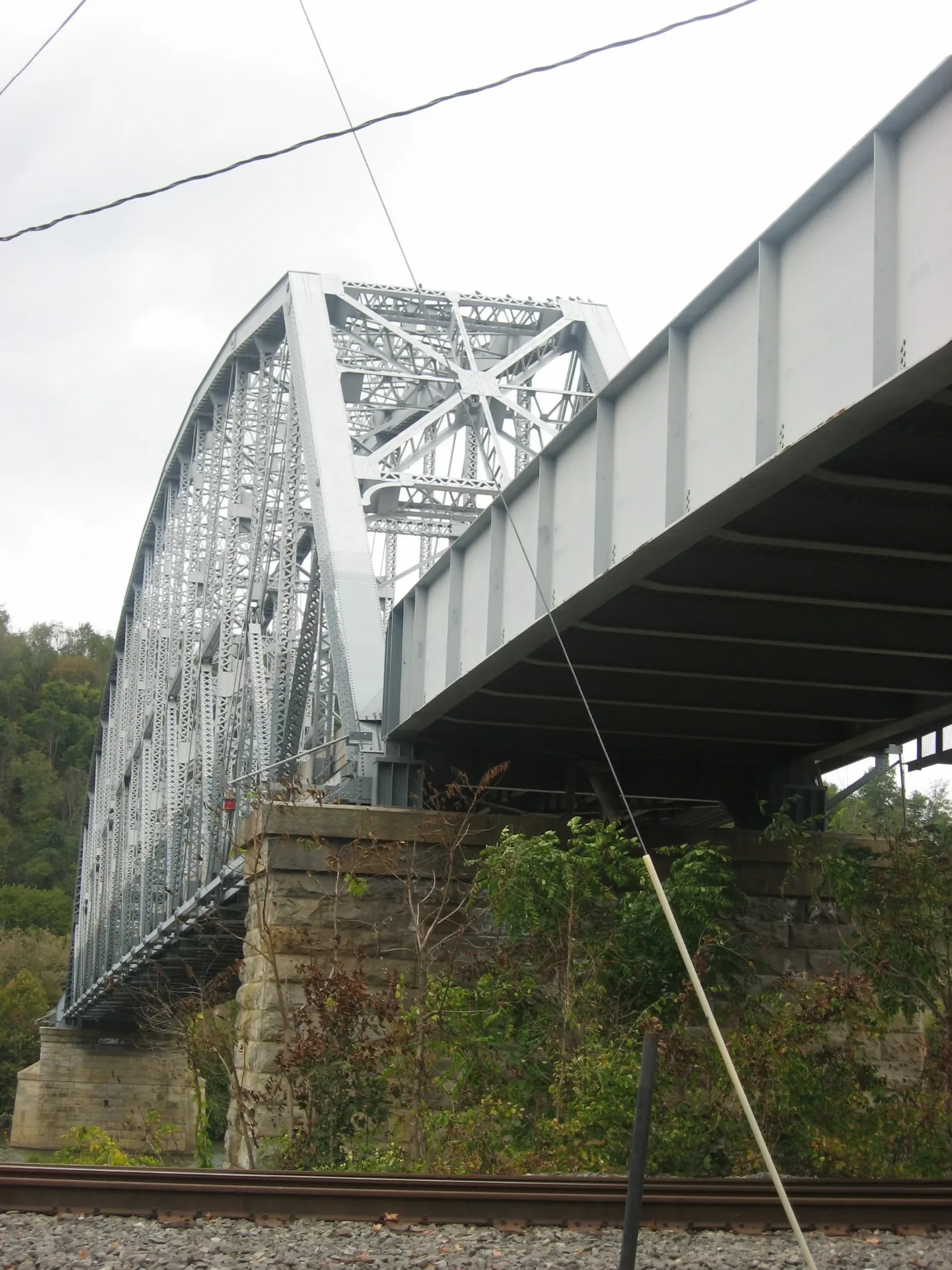
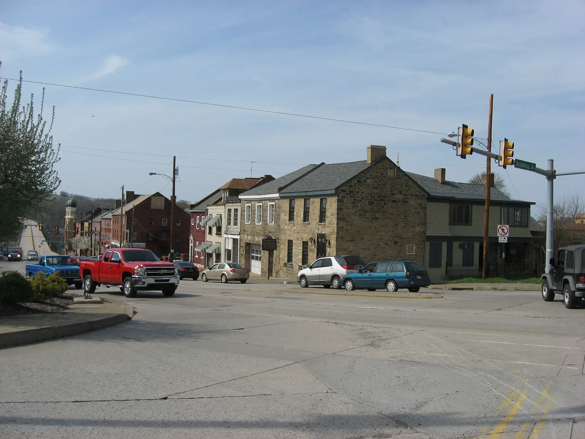
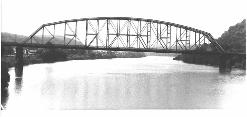
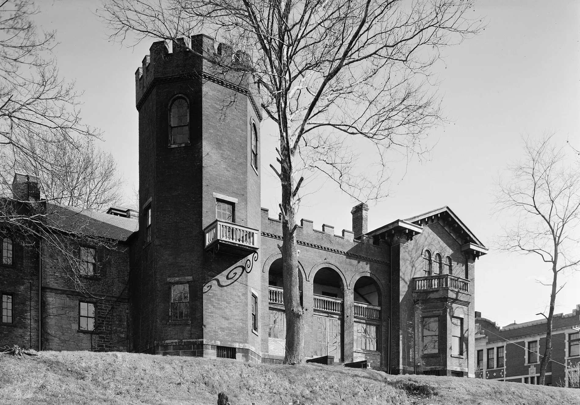
Streets in Brownsville, Pennsylvania
Streets
14th Street
Jackson Street
Sycamore Street
Market Street
Frank L. Melega Art Museum
Cemetery Road
Hollow Road
Steele Street
High StreetSunoco A-Plus, Pickers Pub & Grub
Bolivar Street
Greenside Avenue
Stewart Street
Rebecca Street
6th Avenue
Cadwallader Street
Joiner Street
Wall Street
Brashear Street
Ruth Street
Broadway Street
Mill Street
Bridge StreetBrownsville Free Public Library, Fiddle's Restaurant
Thornton Alley
Miller
Broad Street
Fayette
2nd Street
Bowman Street
Charles Street
Crawford Avenue
Bank Street
Hummell Street
Brownsville Avenue
David Street
Fayette Street
2nd Avenue
Ridge Street
Spice Alley
Green Street
Mason Street
Baltimore Street
Cross Street
Maple Street
Water StreetSouth Brownsville Volunteer Fire Department
South Hills Terrace
Baker Street
Howard Street
Woodward Street
Bernie Avenue
Catherine Avenue
Washington
Front Street
Henrietta Street
Hibbs Street
Seneca Street
Monongahela Street
Woodward AvenueWoodlawn Cemetery
Aubrey Lane
York Street
Wall Road
Pine Street
Middle Street
Sabinay Street
Elm Street
Elizabeth Street
Mill Road
3rd Avenue
Pearl Street
Lockhart Street
Arch Street
Cherry Street
Spring Street
Mitchell Lane
Grays Lane
12th Street
Enfield Street
13th Street
Shelton Avenue
15th Street
Clover Street
18th Street
16th Street
17th Street
Middle Alley
Sheridan Avenue
Ann Street
Shady Avenue
Race Street
Angle Street
Prospect Street
Knox Avenue
Lewis Street
Playford Avenue
Shaffner Avenue
Huron
Ord Street
5th AvenueSharon Givens Beauty Salon
Nemacolin Street
Church StreetMonongahela River, Railroad, and Transportation Museum
Brook Street
Walnut Street
Locust Street
Brown Street
Albion RoadBrownsville
4th Avenue
Orchard Street
Paul Thomas Boulevard
Hood Street
Convenient Street
John Camino Drive
Century Road
Sibbet StreetAuto parts stores
Auto repair shops
Buildings
Cemeteries
Clothing stores
Convenience stores
Fast food restaurants
Funeral homes
Galleries
Gas stations
Hardware stores
Industrial areas
Libraries
Museums
Pharmacies
Places of worship
Post offices
Railways
Restaurants
Rivers
Shopping malls
Tobacco shops
 Public transit map Brownsville Legend
| Railway | |
| Bus | |
| Streetcar |
 Bicycle map Brownsville Legend
| Bike path | |
| Bike lane on roadway | |
| Cycling allowed on bus lane | |
| Bicycle street | |
| Open to cyclists | |
| Open to cyclists, good path | |
| Cycling prohibited | |
| Cobblestone |
| Long-distance bike route | (depending on scale) | |
| Long-distance bike route |
 Pedestrian map Brownsville Legend
| Path |
| Long-distance hiking trail | (depending on scale) | |
| Long-distance hiking trail | ||
| Pedestrians prohibited |