
Church Street in Brownsville, Pennsylvania
Church Street in Brownsville is a residential street. It runs in a southeast-northwest direction starting from Walnut Street and crosses 3rd Avenue, 4th Avenue, 5th Avenue and 6th Avenue and ends at Elizabeth Street. Nearby there is a museum. Church Street also exists in Vanderbilt, Smithfield, Point Marion, Markleysburg and Fairchance.
- Road Type
- residential street
- Route
- southeast-northwest
Image
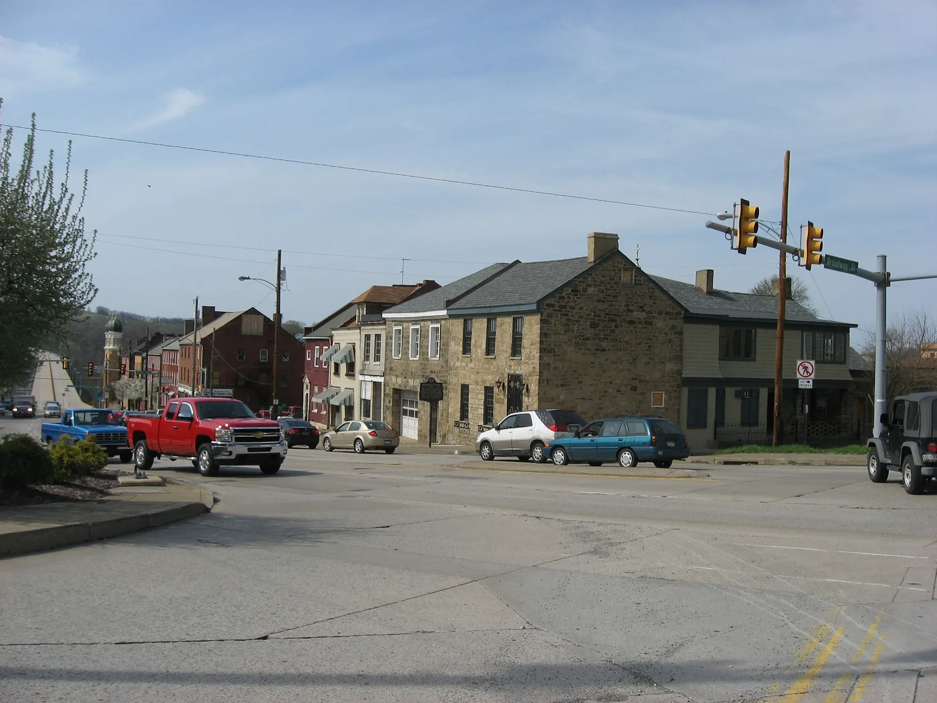
Museums
- Monongahela River, Railroad, and Transportation Museum (free of charge, Web) at Church Street 412 (15417).
Streets nearby
6th Avenue250 ft
Steele Street250 ft
Baltimore Street350 ft
Hibbs Street400 ft
Spring Street0.1 mi
4th Avenue0.1 mi
Ord Street0.1 mi
Elizabeth Street0.1 mi
Nemacolin Street0.1 mi
Huron0.1 mi
Cross Street0.1 mi
Broadway Street0.1 mi
Locust Street0.2 mi
Shaffner Avenue0.2 mi
Playford Avenue0.2 mi
Brashear Street0.2 mi
Brook Street0.2 mi
Ann Street0.2 mi
Pine Street0.2 mi
Front Street0.2 mi
Walnut Street0.2 mi
Sibbet Street0.2 mi
Bowman Street0.2 mi
3rd Avenue0.2 mi
Murray Avenue0.2 mi
Ridge Street0.3 mi
Maple Street0.3 mi
Brown Street0.3 mi
Market StreetFrank L. Melega Art Museum
0.3 mi
Woodward Street0.3 mi
2nd Avenue0.3 mi
Sycamore Street0.3 mi
Bernie Avenue0.3 mi
Peach Street0.3 mi
Albion RoadBrownsville
0.3 mi
Albany RoadBrownsville Junction
0.3 mi
5th Avenue0.4 mi
Middle Street0.5 mi
Goodloe Street0.5 mi
Auto parts stores nearby
NAPA Auto Parts0.1 mi
Buildings nearby
Monongehela Railway Freight Station0.3 mi
Convenience stores nearby
Mini0.2 mi
Fire stations nearby
Brownsville Fire Company #10.1 mi
Funeral homes nearby
Novak Funeral Home0.2 mi
Gas stations nearby
Exxon0.2 mi
Museums nearby
Nemacolin Castle0.3 mi
Places of worship nearby
Saint Peter's Church300 ft
Railways nearby
Loveridge Secondary0.3 mi
Restaurants nearby
Fox's Pizza0.1 mi
Public transit map Brownsville Legend
| Railway | |
| Bus | |
| Streetcar |
Bicycle map Brownsville Legend
| Bike path | |
| Bike lane on roadway | |
| Cycling allowed on bus lane | |
| Bicycle street | |
| Open to cyclists | |
| Open to cyclists, good path | |
| Cycling prohibited | |
| Cobblestone |
| Long-distance bike route | (depending on scale) | |
| Long-distance bike route |
Pedestrian map Brownsville Legend
| Path |
| Long-distance hiking trail | (depending on scale) | |
| Long-distance hiking trail | ||
| Pedestrians prohibited |