
Dillsburg, Pennsylvania
Dillsburg is located in York County. About 2,635 people live here (as of 2020). Between 2010 and 2020, the population grew from 2,563 to 2,635. The region is at 201 meters above sea level. There are about 102 streets in Dillsburg. The region was founded in 1740. The ZIP codes are 17019. Dillsburg is borough of Pennsylvania, United States. Among other things, Dillsburg has restaurants and banks. More information at www.dillsburg.com.
Dillsburg – Facts
| Population | 2635 |
|---|---|
| Area | 0.8 |
| Year built | 1740 |
| Elevation | 201 m |
| Located in | York County |
| Postal code | 17019 |
| Country | United States |
| Official name | Dillsburg |
| Website | http://www.dillsburg.com/ |
Data source: Wikidata (CC0)
Photos from Dillsburg
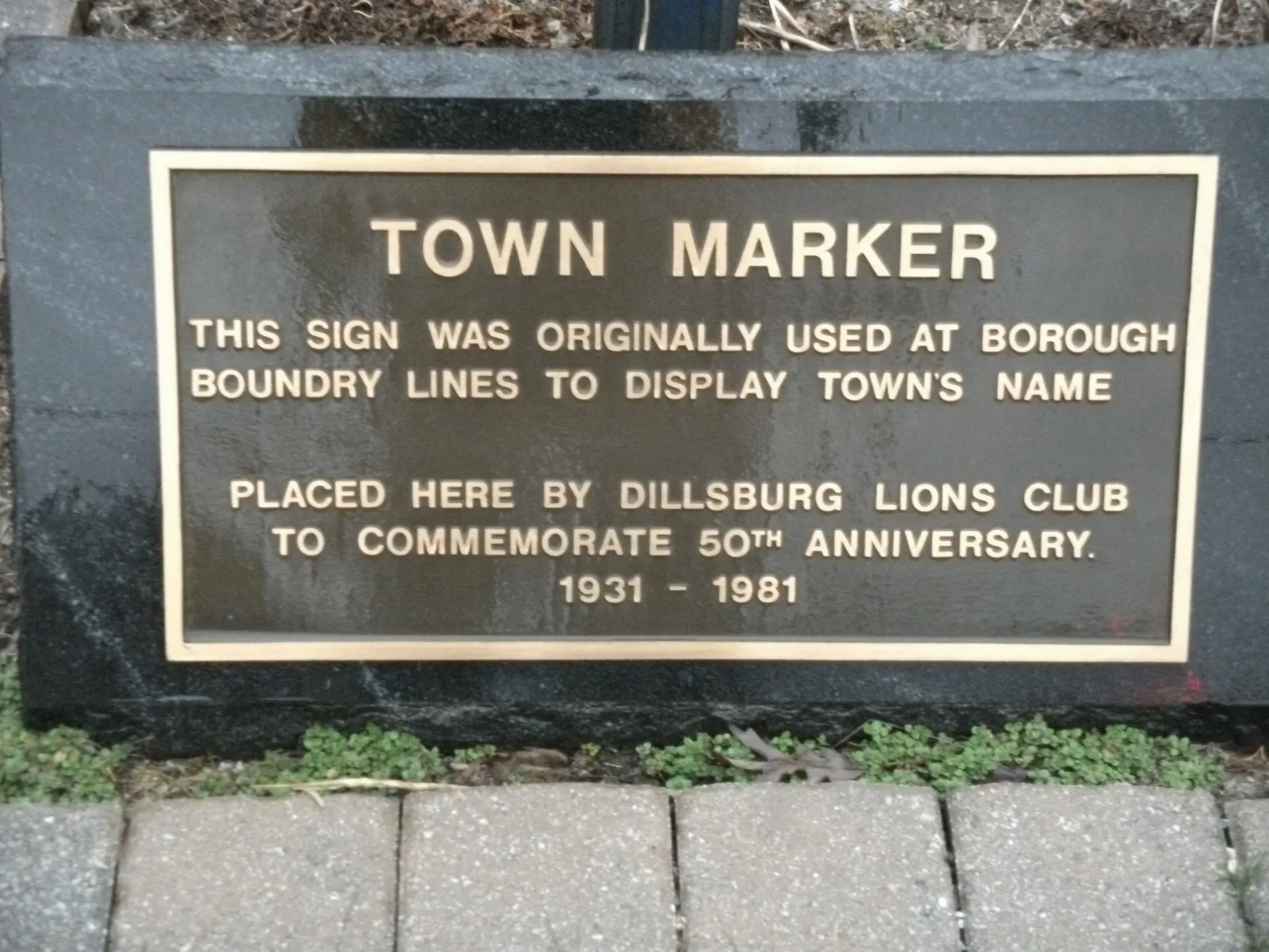
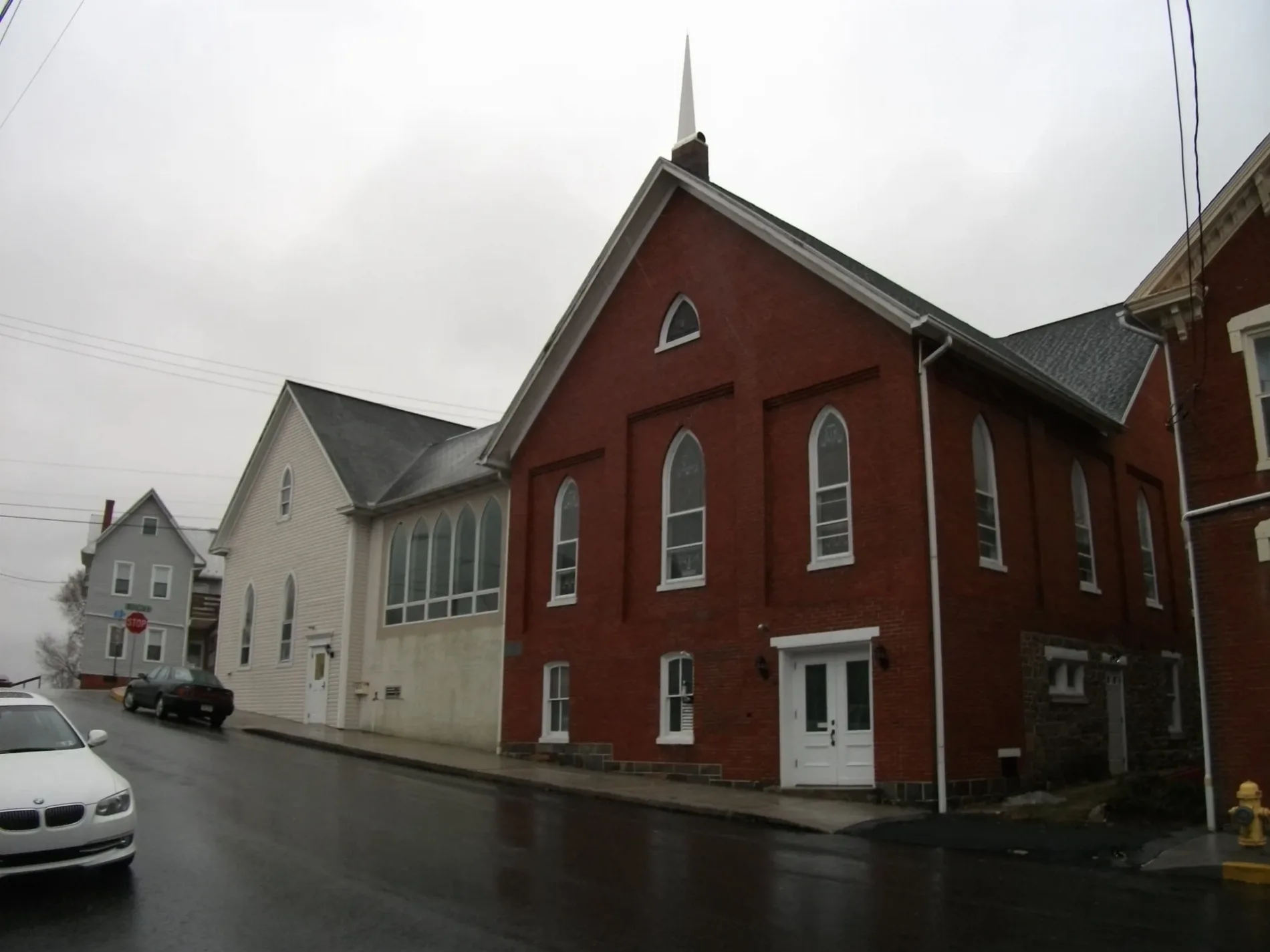
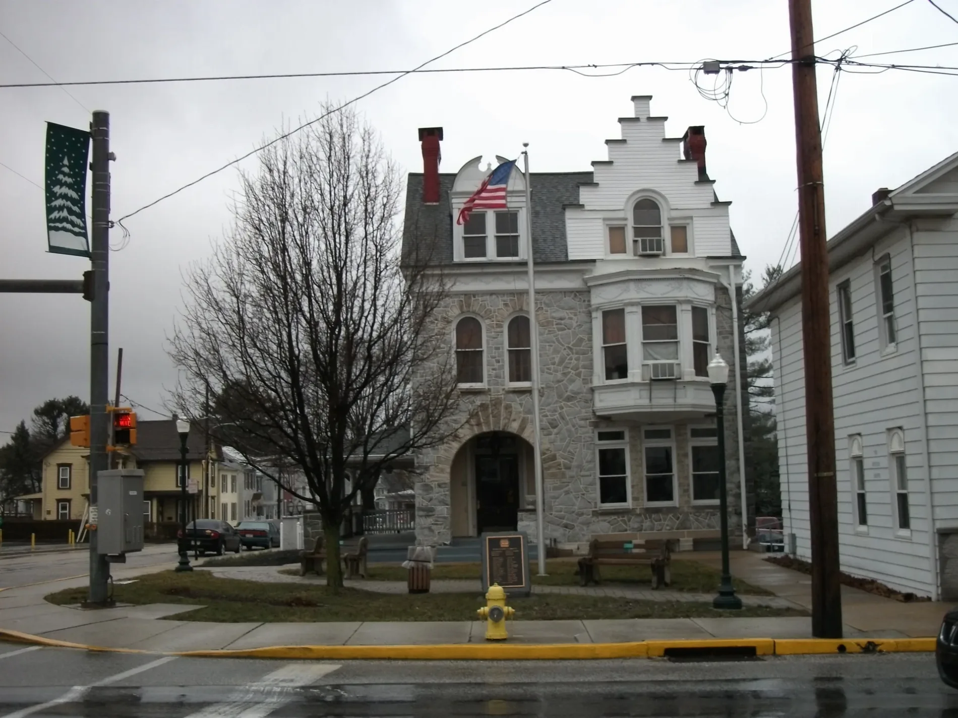
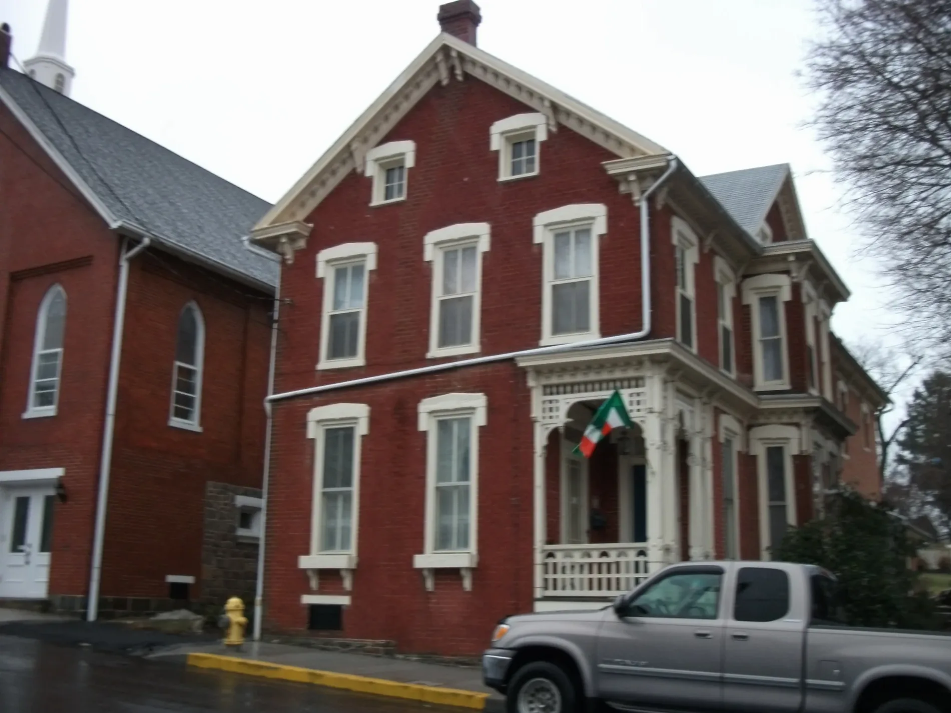
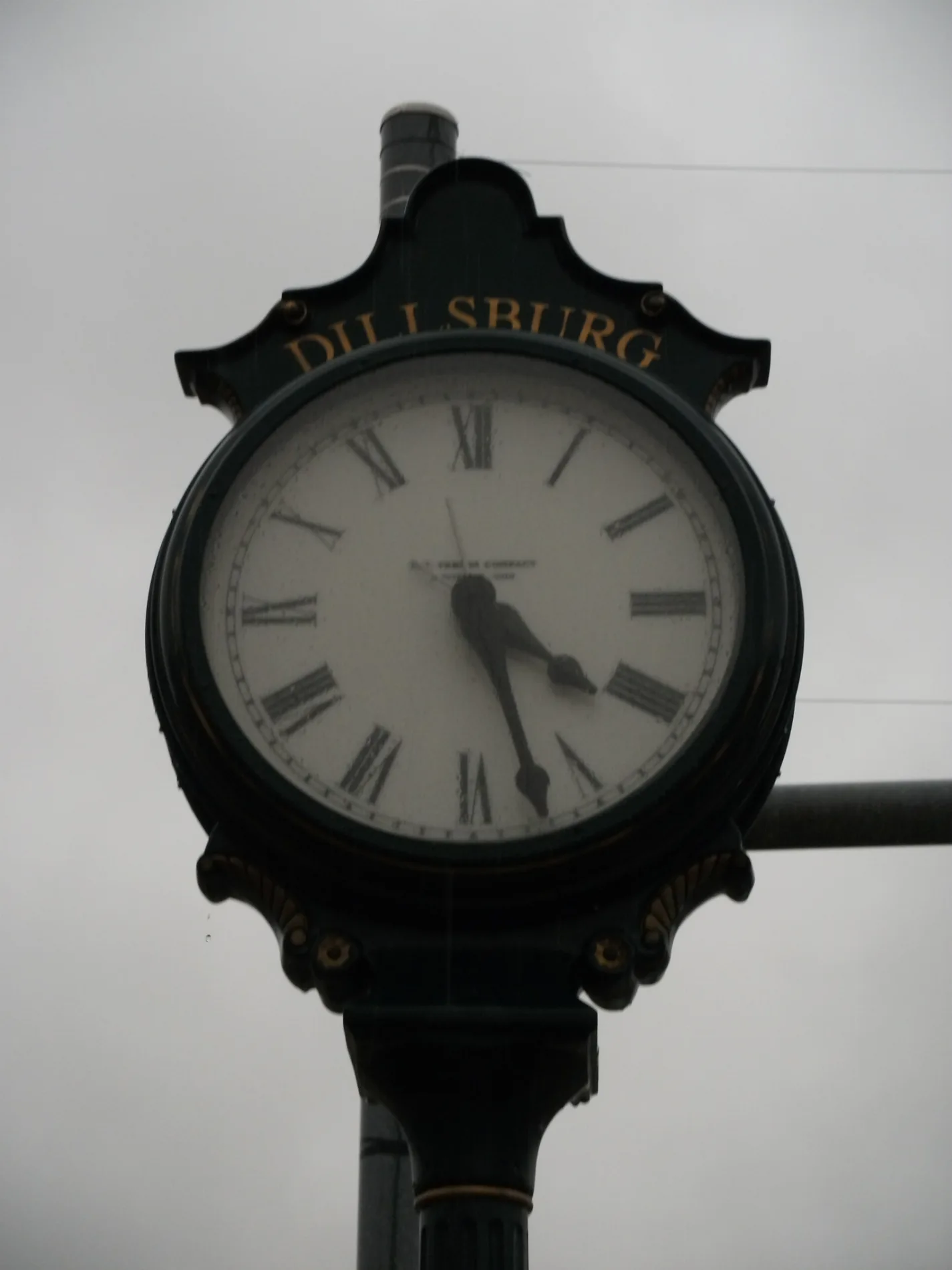
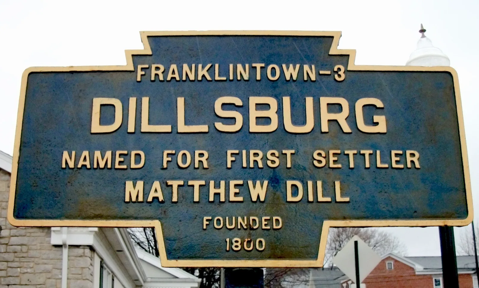
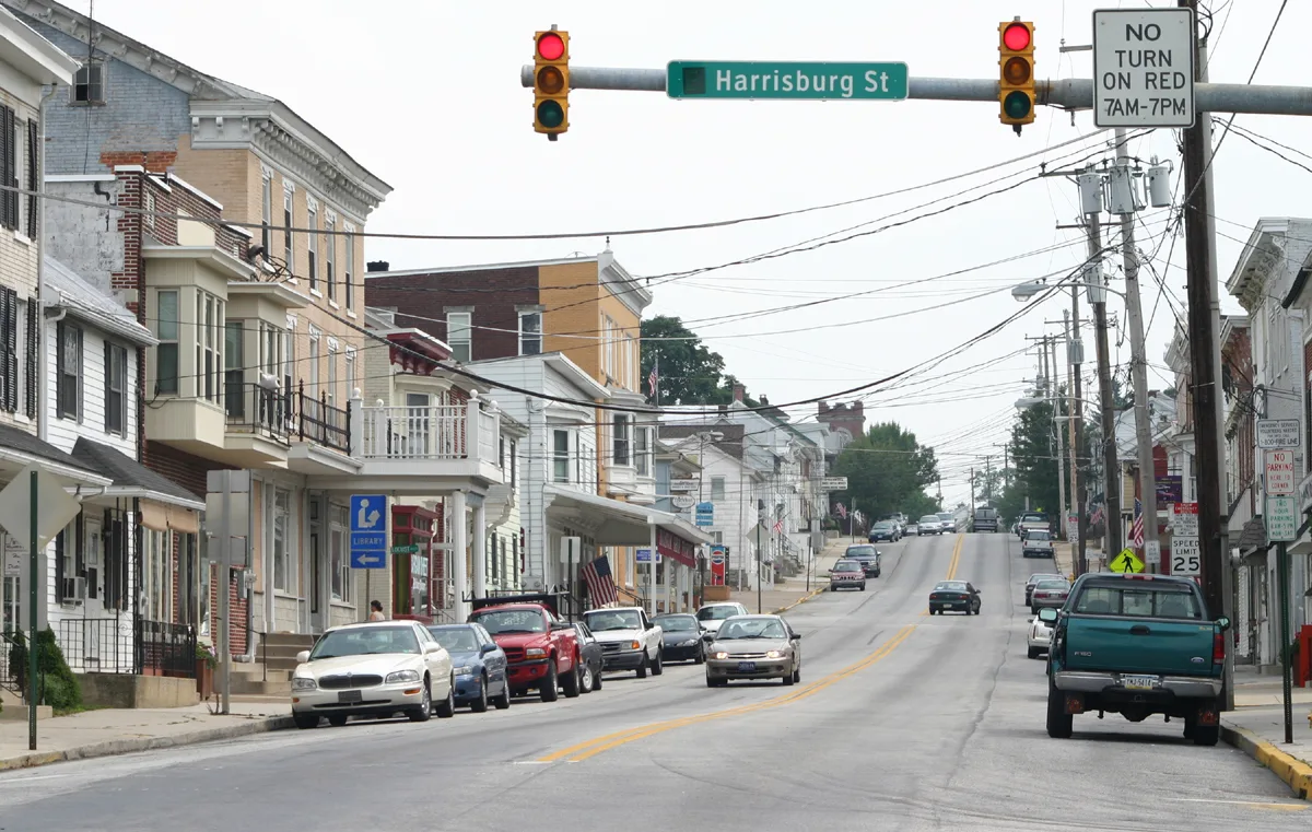
Streets in Dillsburg, Pennsylvania
Streets
East Welty Avenue
Belair Drive
Harrisburg Pike
Beaver Street
Life In Christ Fellowship
Butler Street
South Chestnut Street
West Harrisburg StreetDillsburg, York County District Court
South 2nd StreetVFW Post
North Baltimore Street
North Chestnut Street
Briar Court
South Baltimore StreetCitizens Bank, Millenium Pizza & Italian Cuisine, Ace Fix-It, Morris 24 Hour Laundromat, Antiques on Baltimore, Road Hawg Barbecue, Dillsburg Borough Office
Greenbriar Lane
Cherry Lane
East Harrisburg StreetDillsburg Brethren In Christ
Buttonwood Drive
Ridgeview Drive
Quail Drive
Dove Court
West Church StreetM&T Bank
Clemens Drive
North 3rd Street
Franklin Street
Pheasant Ridge Road
North 2nd StreetDillsburg Rent-A-Space, Dillsburg Senior Center
Chalet Avenue
Park Drive
Impala Drive
Oak Avenue
Sunset Drive
Hartman Lane
Corvair Drive
East York Street
Aspen Road
Orchard Drive
Hanover Street
Beechwood Drive
West York Street
South 3rd Street
Wayside Court
Chestnut Hollow DriveDillsburg Area Public Library
Autumn Woods Court
Hollow Lane
South Third Street
West Hanover Street
Farmers Alley
Tractor Alley
Kerystone Alley
Locust Alley
Sidle Alley
Gettysburg Street
York Road
Logan Road
Bailey Alley
Bomar Alley
Cherkin Alley
Dill AlleyBanks
Buildings
Cafes
Car washes
Commercial buildings
Convenience stores
Fast food restaurants
Fire stations
Parks
Places of worship
Post offices
Residential areas
School buildings
Specialty stores
Thrift stores
Variety stores
 Public transit map Dillsburg Legend
| Railway | |
| Bus | |
| Streetcar |
 Bicycle map Dillsburg Legend
| Bike path | |
| Bike lane on roadway | |
| Cycling allowed on bus lane | |
| Bicycle street | |
| Open to cyclists | |
| Open to cyclists, good path | |
| Cycling prohibited | |
| Cobblestone |
| Long-distance bike route | (depending on scale) | |
| Long-distance bike route |
 Pedestrian map Dillsburg Legend
| Path |
| Long-distance hiking trail | (depending on scale) | |
| Long-distance hiking trail | ||
| Pedestrians prohibited |