
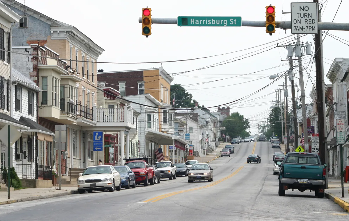
West Hanover Street in Dillsburg, Pennsylvania
West Hanover Street in Dillsburg is an asphalted residential street. It runs in an east-west direction starting from Hanover Street and crosses South 2nd Street and South Baltimore Street. West Hanover Street also exists in Hanover and Spring Grove.
- Road Type
- residential street
- Route
- east-west
Image
Town halls
Antique stores
Courthouses
Gas stations
Restaurants
Community centers
Banks
Self storages
Liquor stores
Places of worship
Hardware stores
Laundries
Community centers
Libraries
Streets nearby
Hanover Street250 ft
Tractor Alley500 ft
South 2nd StreetVFW Post
500 ft
Franklin Street0.1 mi
Farmers Alley0.1 mi
South Baltimore StreetCitizens Bank, Millenium Pizza & Italian Cuisine, Ace Fix-It, Morris 24 Hour Laundromat, Antiques on Baltimore, Road Hawg Barbecue, Dillsburg Borough Office
0.1 mi
Kerystone Alley0.2 mi
Cherkin Alley0.2 mi
Bailey Alley0.2 mi
West York Street0.2 mi
East York Street0.2 mi
South Third Street0.2 mi
South Chestnut Street0.2 mi
Butler Street0.2 mi
Beaver StreetLife In Christ Fellowship
0.2 mi
Locust Alley0.2 mi
Sidle Alley0.2 mi
Chalet Avenue0.2 mi
Bomar Alley0.3 mi
West Harrisburg StreetDillsburg, York County District Court
0.3 mi
East Harrisburg StreetDillsburg Brethren In Christ
0.3 mi
Dill Alley0.3 mi
Autumn Woods Court0.3 mi
North Baltimore Street0.3 mi
South 3rd Street0.3 mi
Quail Drive0.3 mi
North 3rd Street0.3 mi
West Church StreetM&T Bank
0.4 mi
Grandview Drive0.4 mi
Grandview Court0.4 mi
Gettysburg StreetSunoco
0.4 mi
Oak Avenue0.4 mi
Golf Course Road0.6 mi
Range End RoadFive Star Car Wash, Tri-County Animal Hospital
0.6 mi
Buildings nearby
Dillsburg Banner0.2 mi
New Hope Ministries0.3 mi
Cafes nearby
Square Bean Coffee0.2 mi
Cemeteries nearby
Dillsburg Cemetery0.4 mi
Golf Course Road Cemetery0.4 mi
Commercial buildings nearby
Dillsburg Area Authority0.3 mi
Community centers nearby
American Legion Hall0.3 mi
Convenience stores nearby
Quick Stop Mini Mart0.2 mi
Fire stations nearby
Dillsburg Fire Station0.2 mi
Golf courses nearby
Range End Golf Course0.5 mi
Places of worship nearby
St. Paul's Lutheran Church400 ft
Post offices nearby
United States Postal Office0.3 mi
School buildings nearby
Dillsburg Elementary School0.2 mi
Thrift stores nearby
United Methodist Thrift Shoppe0.3 mi
Other nearby
Dillsburg Substation0.6 mi
Public transit map Dillsburg Legend
| Railway | |
| Bus | |
| Streetcar |
Bicycle map Dillsburg Legend
| Bike path | |
| Bike lane on roadway | |
| Cycling allowed on bus lane | |
| Bicycle street | |
| Open to cyclists | |
| Open to cyclists, good path | |
| Cycling prohibited | |
| Cobblestone |
| Long-distance bike route | (depending on scale) | |
| Long-distance bike route |
Pedestrian map Dillsburg Legend
| Path |
| Long-distance hiking trail | (depending on scale) | |
| Long-distance hiking trail | ||
| Pedestrians prohibited |