
Ashley Boulevard in Charleston, South Carolina
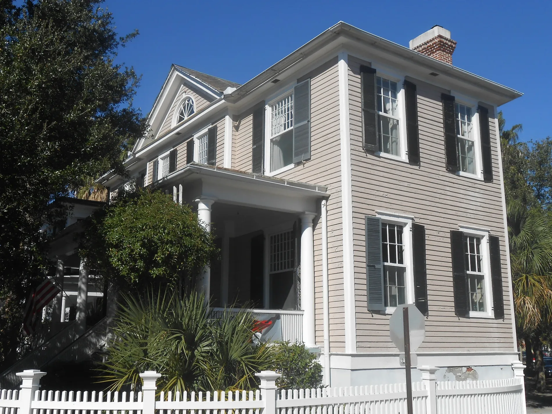
Ashley Boulevard in Charleston is a two-lane, asphalted residential street. It runs as a one-way street in a southwest-northeast direction starting from Murray Boulevard and crosses South Battery and Tradd Street and ends at Ashley Avenue.
- Road Type
- residential street
- Lanes
- 2
- Route
- northeast-southwest
Image
Doctor's offices
Craft stores
Leather goods stores
Event venues
Social facilities
Guest houses
Dentist offices
Restaurants
Cafes
Furniture stores
Convenience stores
Veterinary clinics
Interior decorators
Hotels
Streets nearby
Tradd StreetLavender & Lace Bed & Breakfast, Country Victorian, Rainbow Row (South End)
400 ft
Rutledge Boulevard0.1 mi
Ashley Avenue79 Ashley, Wortham House, Timothy R. Liptak, DMD & Associates, LLC, Cannon Park Dental, Dr. John B. Slappey, MD, Ashley Ave / Doughty St, Garden Hill, Calvary Baptist Church, Ashley Ave / Bee St, Bee & Blossom | Historic Charm, The Barbados House, Emerson Square Charleston, Ashley Ave / Spring St
0.1 mi
South BatteryRapid-Fire Gun, 20 South Battery, The Defenders of Fort Moultrie
0.1 mi
Colonial Street0.1 mi
Chisolm Street0.2 mi
Low Battery0.2 mi
Gibbes Street0.2 mi
Rutledge AvenueRutledge Avenue Baptist Church, West Side, R. Kitchen, Rutledge Ave / Vanderhorst St, 159 Rutledge, Rutledge Ave / Bee St, The Rutledge Room, Davies Auditorium, Asbury Memorial United Methodist Church, Calvary Lutheran Church, Washing Well Laundromat, In 'n Out Convenience Store, Gibbon House at Casa Zoë, Horres Hurteau Family Dentistry, LLC, Rutledge Victorian Guest House, Low Country Laundry & Dry Cleaners, Harleston Dental, First Federal Bank
0.2 mi
Council Street0.2 mi
Broad StreetCosta, Alcove Market, Spa Azure, Hutton + Home, Henry Timrod, Broad St / Church St, Franklin & Rose, Vignette Home Table Garden, Mildred Newberry, Mink Total Medical Spa & Wellness, Wrapped Charleston, Magnolia Med Spa, Seyahan Jewelry, Simpatico Gallery, Charleston Facial Plastic Surgery, Wells Fargo, SouthState Bank, The Establishment, The Pink Parrot Hair Lounge, The George Gallery, Dare Gallery, Blind Tiger, The Governor's House Inn, Needlepoint.com, Broad St / Meeting St, Gaulart & Maliclet Fast and French Inc., Sorelle, Broad Street Barber Shop
0.2 mi
Murray BoulevardThe Brooke Rifle, 13-Inch Mortar, The Fake, The Little Dancer
0.2 mi
Passerelle Court0.3 mi
Canal Street0.3 mi
Lockwood DriveThe Wine Shop of Charleston, Marina ABC, BP, Charleston Yacht Club, Charleston Municipal Court, Lockwood Drive - Westedge Street, Lockwood Drive - Brittlebank Park
0.3 mi
Yvonne duFort Evans Ashley Riverwalk0.3 mi
Apartment buildings nearby
The Andrew B. Murray Vocational School Building0.1 mi
The Andrew B. Murray Vocational School Gym Building0.1 mi
The George Carroll House0.2 mi
The Jasper0.2 mi
Buildings nearby
Charleston Coast Guard Exchange0.1 mi
Industrial areas nearby
Buoy Yard0.2 mi
Military areas nearby
Captain of the Port0.1 mi
U.S. Coast Guard - Sector Charleston0.2 mi
Coast Guard Pier0.3 mi
Parks nearby
Horse Lot Park550 ft
General William Moultrie Playground0.2 mi
Colonial Lake Park0.2 mi
Rivers nearby
Ashley River0.2 mi
Single-family houses nearby
The Louis Fischer House350 ft
The Dingle House500 ft
The Tristram Hyde House0.1 mi
The Chisolm-Alston House0.1 mi
The Archibald Baker Sr. House0.2 mi
The Taft-Simons House0.2 mi
The Alfred Huger House0.2 mi
The Clarence Waring House0.2 mi
The Laura Martelle House0.2 mi
The H.L. Graddick House0.2 mi
The Richard Morris House0.2 mi
The Margaret Aldert House0.2 mi
The James J. Igoe House0.2 mi
The William Pinckney Shingler House0.2 mi
The Andrew Cunningham House0.2 mi
The Jones-Smith House0.2 mi
The Williams House0.3 mi
The Matthew Barkley House0.3 mi
The C. Bissell Jenkins House0.3 mi
Other nearby
U.S. Coast Guard Sector Charleston0.2 mi
 Public transit map Charleston Legend
| Railway | |
| Bus | |
| Streetcar |
 Bicycle map Charleston Legend
| Bike path | |
| Bike lane on roadway | |
| Cycling allowed on bus lane | |
| Bicycle street | |
| Open to cyclists | |
| Open to cyclists, good path | |
| Cycling prohibited | |
| Cobblestone |
| Long-distance bike route | (depending on scale) | |
| Long-distance bike route |
 Pedestrian map Charleston Legend
| Path |
| Long-distance hiking trail | (depending on scale) | |
| Long-distance hiking trail | ||
| Pedestrians prohibited |