
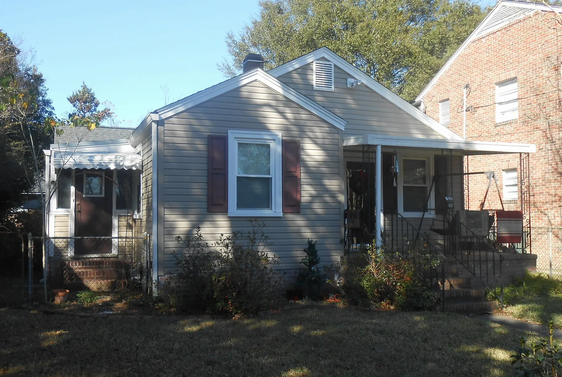
Courvoise Street in Charleston, South Carolina
Courvoise Street in Charleston is a residential street and it runs in an east-west direction starting from Hammond Avenue and ends at Jones Avenue.
- Road Type
- residential street
- Route
- east-west
Image
Fast food restaurants
Doctor's offices
Parking lots
Banks
Convenience stores
Schools
Places of worship
Cafes
Police stations
Bars
Streets nearby
Bullseye Drive400 ft
Hammond Avenue0.1 mi
Jones Avenue0.1 mi
Grier Avenue0.1 mi
Lee Avenue0.1 mi
Jenkins AvenueThe Citadel Bulldog
0.2 mi
Avenue of RemembranceThe Citadel Daniel Museum, Chick-fil-A
0.2 mi
Wilson Avenue0.2 mi
Hagood Avenue0.2 mi
Moultrie StreetParkside Church, Mary Bennett Murray Infirmary
0.2 mi
Register Road0.2 mi
Dunneman Avenue0.3 mi
6th Avenue0.3 mi
Wagener Avenue0.3 mi
5th Avenue0.3 mi
Obstacle Course0.3 mi
8th Avenue0.3 mi
Saint Margaret Street0.4 mi
9th Avenue0.4 mi
3rd Avenue0.4 mi
Abandoned railways nearby
SAL0.3 mi
Buildings nearby
Laundromat50 ft
Tailor Shop250 ft
Cadet Store300 ft
Coward Hall400 ft
McAlister Field House450 ft
Seignious Hall450 ft
Vandiver Hall0.1 mi
Rifle Range0.1 mi
Letellier Hall0.1 mi
Grimsley Hall0.2 mi
Thompson Hall0.2 mi
Deas Hall0.2 mi
H.M.S. Seraph memorial0.2 mi
Jenkins Hall0.2 mi
Byrd Hall0.2 mi
The Thomas Dry Howie Carillon0.2 mi
The Main House0.4 mi
The River House at Lowndes Grove0.4 mi
Grasslands nearby
Summerall Field0.2 mi
The Grand Lawn0.4 mi
Libraries nearby
Daniel Library0.2 mi
Parks nearby
Lowndes Grove0.4 mi
Places of worship nearby
Summerall Chapel0.2 mi
Recreation grounds nearby
Earle Tennis Center0.2 mi
The Tent at Lowndes Grove0.4 mi
Sports fields nearby
Wilson Field0.2 mi
University buildings nearby
Duckett Hall0.2 mi
Mark Clark Hall0.2 mi
Public transit map Charleston Legend
| Railway | |
| Bus | |
| Streetcar |
Bicycle map Charleston Legend
| Bike path | |
| Bike lane on roadway | |
| Cycling allowed on bus lane | |
| Bicycle street | |
| Open to cyclists | |
| Open to cyclists, good path | |
| Cycling prohibited | |
| Cobblestone |
| Long-distance bike route | (depending on scale) | |
| Long-distance bike route |
Pedestrian map Charleston Legend
| Path |
| Long-distance hiking trail | (depending on scale) | |
| Long-distance hiking trail | ||
| Pedestrians prohibited |