
Savage Street in Charleston, South Carolina
Savage Street in Charleston is an asphalted residential street. It runs as a one-way street in a northeast-southwest direction starting from Broad Street and ends at Rutledge Avenue. Nearby there is a convenience store. The nearest bus stop is Broad St / Meeting St (about 650 m away). Savage Street also exists in Colleton County, Barnwell County and Kershaw County.
- Road Type
- residential street
- Route
- northeast-southwest
Image
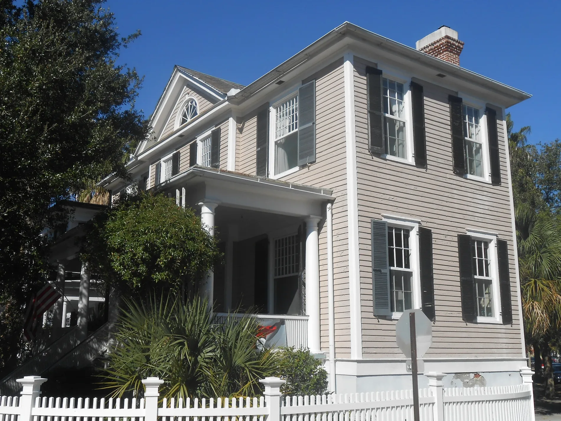
Convenience stores
Streets nearby
New Street350 ft
Trapman Street0.1 mi
Trumbo Street0.1 mi
Michel PlaceCharleston 1857 - Luxury Guesthouse
0.1 mi
Franklin Street0.1 mi
Broad StreetCosta, Alcove Market, Spa Azure, Hutton + Home, Henry Timrod, Broad St / Church St, Franklin & Rose, Vignette Home Table Garden, Mildred Newberry, Mink Total Medical Spa & Wellness, Wrapped Charleston, Magnolia Med Spa, Seyahan Jewelry, Simpatico Gallery, Charleston Facial Plastic Surgery, Wells Fargo, SouthState Bank, The Establishment, The Pink Parrot Hair Lounge, The George Gallery, Dare Gallery, Blind Tiger, The Governor's House Inn, Needlepoint.com, Broad St / Meeting St, Gaulart & Maliclet Fast and French Inc., Sorelle, Broad Street Barber Shop
0.1 mi
Short Street0.1 mi
Logan Street0.2 mi
Poulnot Lane0.2 mi
Duplexes nearby
The Trenholm Tenement0.2 mi
Office buildings nearby
The Old Marine Hospital0.2 mi
Retail buildings nearby
The Lutjen Grocery Building350 ft
The John Henry Bullwinkle House0.2 mi
Single-family houses nearby
The Simons-Jagar House200 ft
The George N. Barnard Tenement200 ft
The Brewer Residence200 ft
The Margaret Aldert House250 ft
The James J. Igoe House250 ft
The Heilbron-Gibbon House250 ft
The Berend Lutjen House250 ft
The Prioleau-Miles House300 ft
The Laura Martelle House300 ft
The Joseph Thompson House300 ft
The Jones-Smith House350 ft
The Caroline Simons House400 ft
The Martin House400 ft
The Cooper-O'Connor House450 ft
The Simons House450 ft
The Richard Morris House450 ft
The Fogarty House500 ft
The T.L. Reenstjerna House550 ft
The Manning Simons House0.1 mi
The William Wragg House0.1 mi
The Hammer-Sams House0.1 mi
The Daniel Z. Duncan House0.1 mi
The Kellers Tenement0.1 mi
The John Kenny House0.1 mi
The Maria Wilson House0.1 mi
The John Lege House0.1 mi
The Bird-Tiedeman House0.1 mi
The A. Markley Lee House0.1 mi
The Fannie Werner House0.1 mi
The George Washington Cooper House0.1 mi
The George W. Rabb House0.1 mi
The Robert D. White House0.1 mi
The Etienne Poincignon House0.1 mi
The William H. Huger House0.2 mi
The A.E. Caraduc House0.2 mi
The Fox-Magee House0.2 mi
 Public transit map Charleston Legend
| Railway | |
| Bus | |
| Streetcar |
 Bicycle map Charleston Legend
| Bike path | |
| Bike lane on roadway | |
| Cycling allowed on bus lane | |
| Bicycle street | |
| Open to cyclists | |
| Open to cyclists, good path | |
| Cycling prohibited | |
| Cobblestone |
| Long-distance bike route | (depending on scale) | |
| Long-distance bike route |
 Pedestrian map Charleston Legend
| Path |
| Long-distance hiking trail | (depending on scale) | |
| Long-distance hiking trail | ||
| Pedestrians prohibited |