
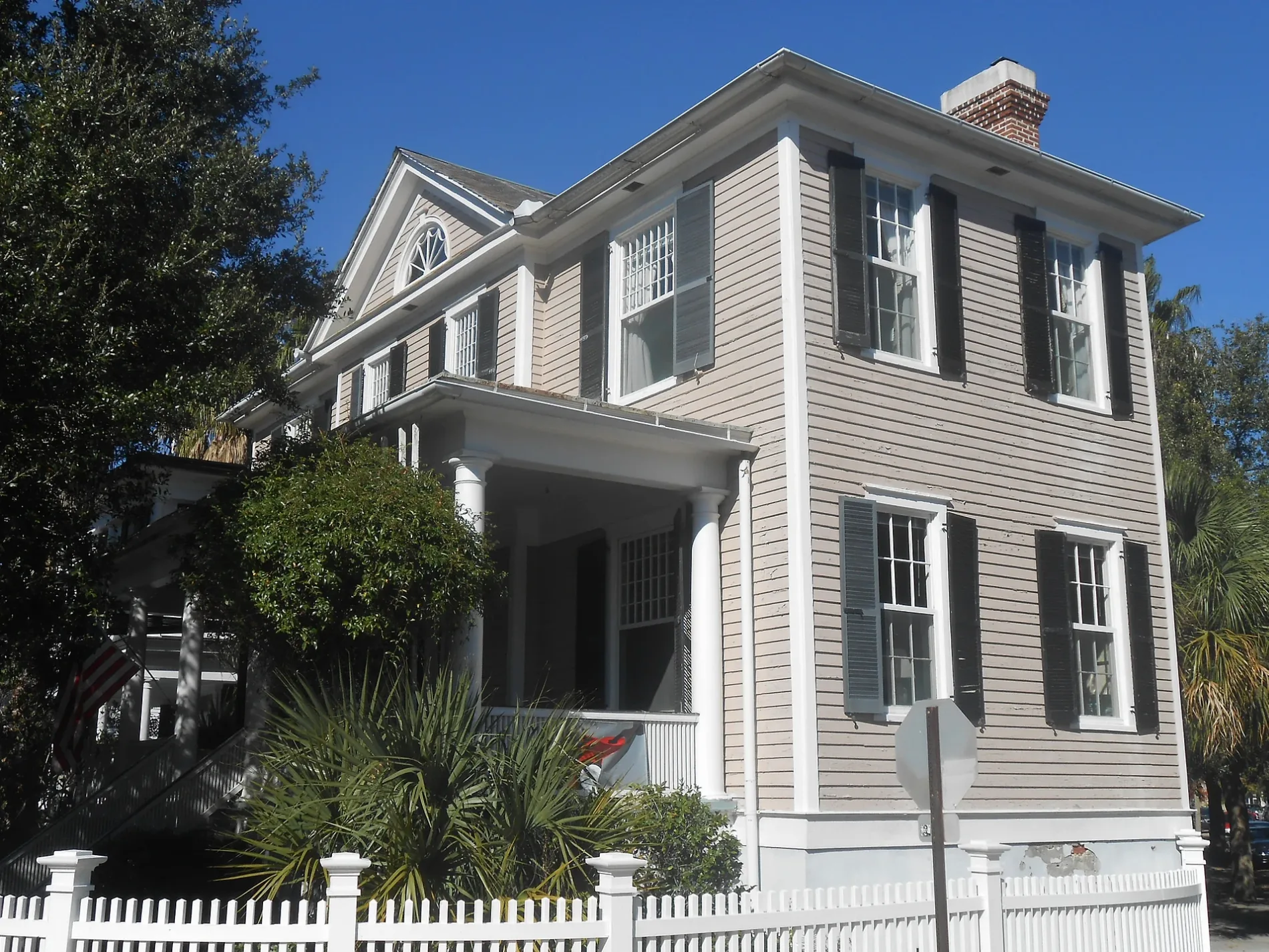
Colonial Street in Charleston, South Carolina
Colonial Street in Charleston is a two-lane, asphalted residential street (Road number L-213). The street has parking available. It runs in a north-south direction starting from Broad Street and ends at Tradd Street.
- Road Type
- residential street
- Lanes
- 2
- Route
- north-south
Image
Doctor's offices
Convenience stores
Leather goods stores
Interior decorators
Clothing stores
Guest houses
Craft stores
Event venues
Hotels
Restaurants
Cafes
Furniture stores
Veterinary clinics
Dentist offices
Social facilities
Streets nearby
Ashley Avenue79 Ashley, Wortham House, Timothy R. Liptak, DMD & Associates, LLC, Cannon Park Dental, Dr. John B. Slappey, MD, Ashley Ave / Doughty St, Garden Hill, Calvary Baptist Church, Ashley Ave / Bee St, Bee & Blossom | Historic Charm, The Barbados House, Emerson Square Charleston, Ashley Ave / Spring St, Daps Breakfast & Imbibe
250 ft
Chisolm Street550 ft
Tradd StreetLavender & Lace Bed & Breakfast, Country Victorian, Rainbow Row (South End)
0.1 mi
Murray BoulevardThe Brooke Rifle, 13-Inch Mortar, The Fake, The Little Dancer
0.2 mi
Canal Street0.2 mi
Passerelle Court0.2 mi
Shaftsbury Lane0.3 mi
Barre StreetGov. Thomas Bennett House, Halsey Park
0.3 mi
Yvonne D Evans River Walk0.3 mi
Gray Court0.3 mi
Harleston PlaceHarleston Place
0.4 mi
Apartment buildings nearby
The George Carroll House350 ft
The Andrew B. Murray Vocational School Gym Building0.1 mi
The Andrew B. Murray Vocational School Building0.1 mi
The Jasper0.2 mi
The Baker House0.2 mi
Berkeley Court0.3 mi
Buildings nearby
Charleston Coast Guard Exchange0.2 mi
Houses nearby
The Brennan-Lee House0.3 mi
Industrial areas nearby
Buoy Yard0.2 mi
Military areas nearby
Captain of the Port0.2 mi
U.S. Coast Guard - Sector Charleston0.2 mi
Military buildings nearby
Charleston Barracks0.1 mi
Parks nearby
Horse Lot Park300 ft
Colonial Lake Park500 ft
General William Moultrie Playground0.1 mi
Single-family houses nearby
The Taft-Simons House300 ft
The Dingle House350 ft
The Clarence Waring House350 ft
Louis Fischer House0.2 mi
The Albert W. Todd House0.2 mi
The Thomas O'Brien House0.2 mi
Cuban Consulate Building0.2 mi
The Harriet F. Creighton House0.2 mi
The Charleston Good House0.2 mi
The John Steinmeyer House0.3 mi
The Richard Peyton House0.3 mi
The Smith-Gerald House0.3 mi
John Henry Steinmeyer House0.3 mi
The Whiteford Smith House0.3 mi
The Robert Shands Smith House0.3 mi
The Eli Geddings House0.3 mi
The James Henry Taylor House, I0.3 mi
The James Henry Taylor House, II0.3 mi
The Daniel Fairchild House0.3 mi
The John Hume Simons House0.3 mi
The Heriot-Grimball House0.4 mi
The Thomas Hamlin House0.4 mi
Waters nearby
Colonial Lake0.2 mi
Public transit map Charleston Legend
| Railway | |
| Bus | |
| Streetcar |
Bicycle map Charleston Legend
| Bike path | |
| Bike lane on roadway | |
| Cycling allowed on bus lane | |
| Bicycle street | |
| Open to cyclists | |
| Open to cyclists, good path | |
| Cycling prohibited | |
| Cobblestone |
| Long-distance bike route | (depending on scale) | |
| Long-distance bike route |
Pedestrian map Charleston Legend
| Path |
| Long-distance hiking trail | (depending on scale) | |
| Long-distance hiking trail | ||
| Pedestrians prohibited |