
Orange Street in Charleston, South Carolina
Orange Street in Charleston is a single-lane, asphalted residential street (Road number L-4372). The street has a width of 4.2672. It runs as a one-way street in a south-north direction starting from Tradd Street and ends at Broad Street. Nearby there is a guest house. Orange Street also exists in Greenville County, Berkeley County, Colleton County, Orangeburg County and Calhoun County.
- Road Type
- residential street
- Lanes
- 1
- Route
- north-south
Image
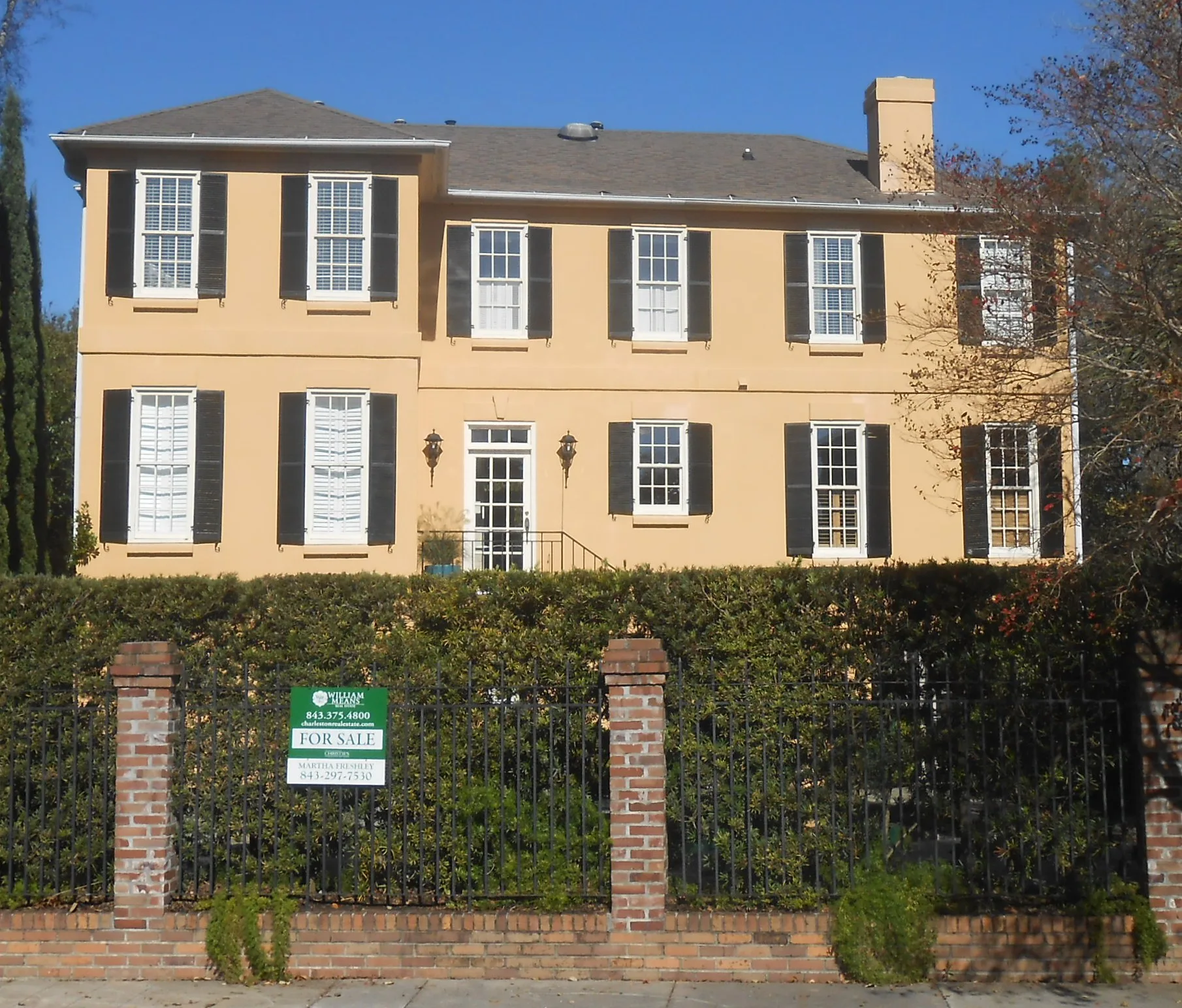
Guest houses
Streets nearby
Logan Street0.2 mi
Short Street0.2 mi
New Street0.2 mi
Charlestowne Court0.2 mi
Franklin Street0.3 mi
Apartment buildings nearby
The Crafts House0.2 mi
Cemeteries nearby
St. Peter's Episcopal Church Cemetery0.1 mi
Commercial buildings nearby
The Heinsohn Building500 ft
Duplexes nearby
William C. Bee House500 ft
John Fullerton House0.1 mi
The William B. Smith House0.1 mi
The Trenholm Tenement0.2 mi
Places of worship nearby
Cathedral of St. John the Baptist550 ft
Retail buildings nearby
The John Henry Bullwinkle House0.2 mi
The Lutjen Grocery Building0.2 mi
Single-family houses nearby
The Snelson-Muller House300 ft
The Samuel Webb House300 ft
Morton Waring House350 ft
The Charles Robert Valk House400 ft
The W.W. Wilkinson House450 ft
The Charles Elliott House500 ft
The J.C. Tiedeman House0.1 mi
Dr. Peter Fayssoux House0.1 mi
The John Peter Merkhardt House0.1 mi
Frost House0.1 mi
Humphrey Sommers House0.1 mi
Capt. John Morrison House0.1 mi
The John Klinck House0.1 mi
The William H. Huger House0.1 mi
The A.E. Caraduc House0.2 mi
The Robert D. White House0.2 mi
Fannie Werner House0.2 mi
The Maria Wilson House0.2 mi
The John Lege House0.2 mi
A. Markley Lee House0.2 mi
Joseph Thompson House0.2 mi
John Kenny House0.2 mi
The Hammer-Sams House0.2 mi
The Bird-Tiedeman House0.2 mi
The Jennings-White House0.2 mi
Augustus S. Johnson House0.2 mi
The Martin House0.2 mi
Bollmann House0.2 mi
The William Wragg House0.2 mi
The Joseph Thompson House0.2 mi
The Brewer Residence0.2 mi
The Simons-Jagar House0.2 mi
The Berend Lutjen House0.2 mi
The George N. Barnard Tenement0.3 mi
The George Washington Cooper House0.3 mi
Public transit map Charleston Legend
| Railway | |
| Bus | |
| Streetcar |
Bicycle map Charleston Legend
| Bike path | |
| Bike lane on roadway | |
| Cycling allowed on bus lane | |
| Bicycle street | |
| Open to cyclists | |
| Open to cyclists, good path | |
| Cycling prohibited | |
| Cobblestone |
| Long-distance bike route | (depending on scale) | |
| Long-distance bike route |
Pedestrian map Charleston Legend
| Path |
| Long-distance hiking trail | (depending on scale) | |
| Long-distance hiking trail | ||
| Pedestrians prohibited |