
Rutledge Boulevard in Charleston, South Carolina
Rutledge Boulevard in Charleston is a two-lane, asphalted local road (Road number S-46). It runs as a one-way street in a north-south direction starting from Rutledge Avenue and crosses Tradd Street, Gibbes Street and South Battery and ends at Murray Boulevard.
- Road Type
- residential street
- Lanes
- 2
- Route
- north-south
Image
Restaurants
Convenience stores
Furniture stores
Craft stores
Doctor's offices
Leather goods stores
Guest houses
Event venues
Attractions
Hotels
Cafes
Veterinary clinics
Drinking water fountains
Streets nearby
Gibbes Street0.1 mi
Limehouse Street0.1 mi
Council Street0.1 mi
Low Battery0.2 mi
Tradd StreetLavender & Lace Bed & Breakfast, Country Victorian, Rainbow Row (South End)
0.2 mi
South BatteryRapid-Fire Gun, 20 South Battery, To The Defenders of Fort Moultrie
0.2 mi
Greenhill Street0.2 mi
Lowndes Street0.2 mi
Lenwood BoulevardThe Garden Cottage
0.3 mi
Single-family houses nearby
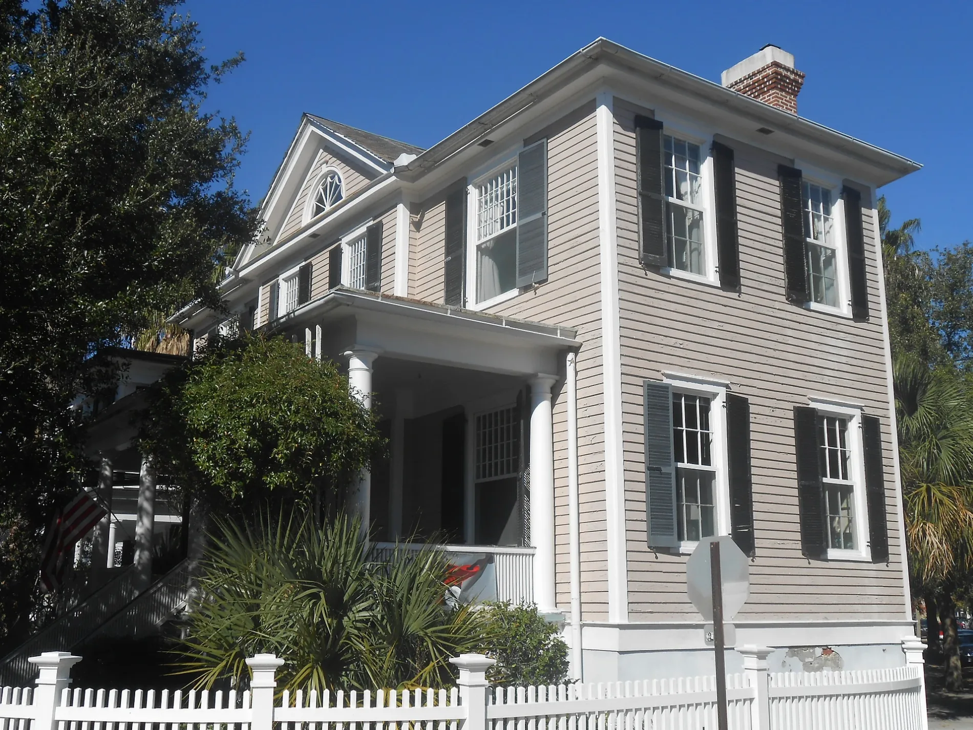
Tristram Hyde House150 ft
Archibald Baker Sr. House300 ft
Alfred Huger House500 ft
The Chisolm-Alston House0.2 mi
C. Bissell Jenkins House0.2 mi
Williams House0.2 mi
Andrew Cunningham House0.2 mi
The H.L. Graddick House0.2 mi
G. Abbott Middleton House0.2 mi
The William Pinckney Shingler House0.2 mi
The Robert Limehouse House0.2 mi
Dr. Robert Barnwell Rhett House0.2 mi
Harriet Crouch House0.2 mi
The Richard Morris House0.2 mi
Optimus E. Hughes House0.2 mi
The S.J.L. Matthews House0.2 mi
The Jane Stewart House0.2 mi
The Margaret Aldert House0.2 mi
The James J. Igoe House0.2 mi
Archibald Baker Jr. House0.2 mi
Samuel Edward Axson House0.2 mi
Daniel Z. Duncan House0.2 mi
Bowles-Legare-Parker House0.3 mi
Sears Roebuck House0.3 mi
Henry Middleton House0.3 mi
John Kenny House0.3 mi
Joseph Thompson House0.3 mi
Parker-Drayton House0.3 mi
Sarah Ruth Simmons House0.3 mi
A. Markley Lee House0.3 mi
Harth-Middleton House0.3 mi
Robert T. Chisolm House0.3 mi
Anthony Toomer House0.3 mi
Manigault-Sinkler House0.3 mi
Joseph Winthrop House0.3 mi
William Gibbes House0.3 mi
The Giles House0.3 mi
Winborn Lawton House0.3 mi
Harth-Macbeth House0.3 mi
Henry Laurens House0.3 mi
Public transit map Charleston Legend
| Railway | |
| Bus | |
| Streetcar |
Bicycle map Charleston Legend
| Bike path | |
| Bike lane on roadway | |
| Cycling allowed on bus lane | |
| Bicycle street | |
| Open to cyclists | |
| Open to cyclists, good path | |
| Cycling prohibited | |
| Cobblestone |
| Long-distance bike route | (depending on scale) | |
| Long-distance bike route |
Pedestrian map Charleston Legend
| Path |
| Long-distance hiking trail | (depending on scale) | |
| Long-distance hiking trail | ||
| Pedestrians prohibited |