
Hospitality Boulevard in Florence, South Carolina
Hospitality Boulevard in Florence is a two-lane, asphalted unclassified road. No bike lane available. It runs in an east-west direction starting from West Radio Drive and ends at West Mathers Drive.
- Bike Lane
- no
- Road Type
- unclassified road
- Lanes
- 2
- Route
- east-west
Image
Hotels
Gas stations
Department stores
Bookstores
Bus stops
- bus lines 1
ATMs
Restaurants
Fast food restaurants
Hardware stores
Electronics stores
Clothing stores
Jewelry stores
Streets nearby
West Mathers Drive0.1 mi
S-21-1757Phoenix Mart, Taco Bell
0.2 mi
Woody Jones BoulevardLabamba Mexican, 1720 Burger Bar, Comfort Inn
0.2 mi
J Strom Thurmond Freeway0.2 mi
Dunbarton DriveQuality Inn and Suites, Outback Steakhouse
0.2 mi
Rail Trail (Veterans Park Connector)Discount Tire, Panera Bread
0.3 mi
West Radio Drive0.3 mi
Florence Rail TrailSmoothie King
0.4 mi
Juniper Road0.5 mi
Rail Trail0.5 mi
Westwood Drive0.5 mi
Larkspur Road0.5 mi
Ivywood Road0.5 mi
Hillcrest Drive0.6 mi
South Botany Drive0.6 mi
West David H McLeod BoulevardChipotle, Texas Roadhouse, Panda Express, T-Mobile, Great Clips
0.6 mi
ACS Technologies Get Fit Path0.7 mi
Arcades nearby
Chuck E. Cheese's0.4 mi
Buildings nearby
ACS Technologies Admin0.6 mi
ACS Technologies0.7 mi
UPS Freight0.7 mi
Cell phone stores nearby
Verizon0.6 mi
Department stores nearby
Target0.4 mi
Fast food restaurants nearby
Chick-fil-A0.2 mi
Burger King0.2 mi
Gas stations nearby
Murphy Express0.6 mi
Hotels nearby
Courtyard200 ft
Hampton200 ft
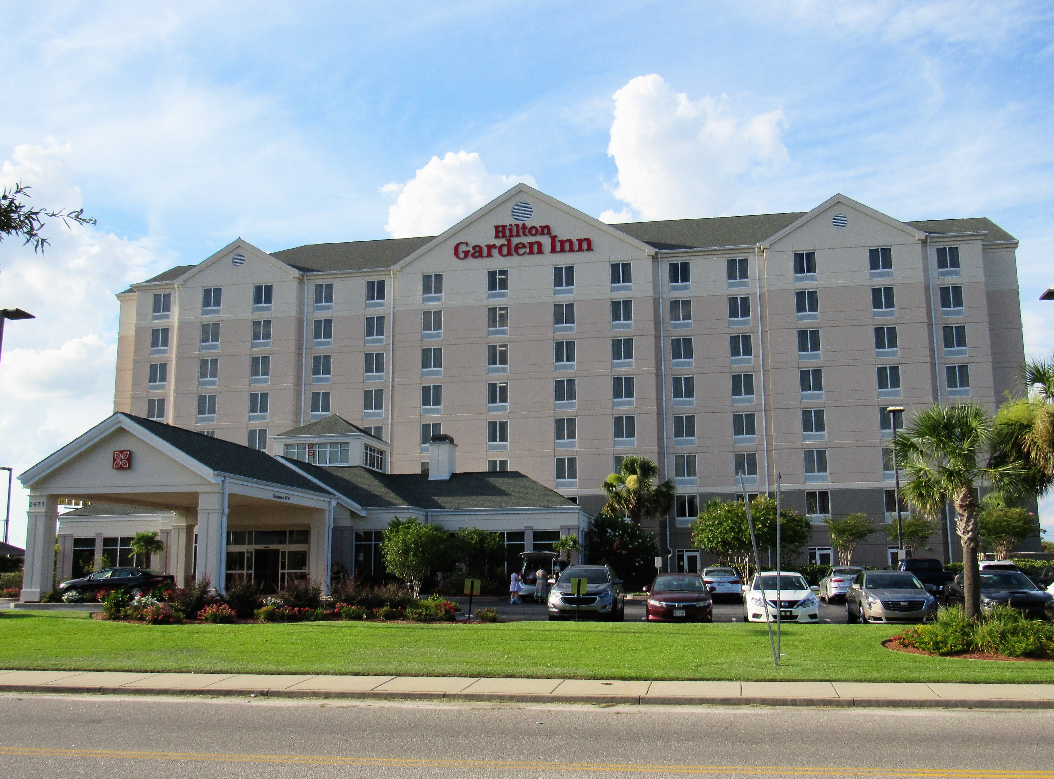
Hilton Garden Inn350 ft
Springhill Suites450 ft
Townplace Suites0.1 mi
Holiday Inn Express0.5 mi
Staybridge Suites Florence - Center0.5 mi
Ice cream shops nearby
Bruster's Ice Cream0.3 mi
Movie theaters nearby
Swamp Fox Cinemas0.4 mi
Parks nearby
Veterans Park550 ft
Public buildings nearby
Florence Center0.1 mi
Restaurants nearby
Waffle House500 ft
Chili's0.1 mi
Olive Garden0.2 mi
LongHorn Steakhouse0.2 mi
IHOP0.3 mi
Red Lobster0.3 mi
Mellow Mushroom0.3 mi
Buffalo Wild Wings0.4 mi
Red Bowl Asian Bistro0.6 mi
Shopping malls nearby
Magnolia Mall0.4 mi
Streams nearby
Beaverdam Creek0.5 mi
Jeffries Creek0.5 mi
Public transit map Florence Legend
| Railway | |
| Bus | |
| Streetcar |
Bicycle map Florence Legend
| Bike path | |
| Bike lane on roadway | |
| Cycling allowed on bus lane | |
| Bicycle street | |
| Open to cyclists | |
| Open to cyclists, good path | |
| Cycling prohibited | |
| Cobblestone |
| Long-distance bike route | (depending on scale) | |
| Long-distance bike route |
Pedestrian map Florence Legend
| Path |
| Long-distance hiking trail | (depending on scale) | |
| Long-distance hiking trail | ||
| Pedestrians prohibited |