
West Pine Street in Florence, South Carolina
West Pine Street in Florence is a residential street. It runs in an east-west direction starting from Park Avenue and crosses Graham Street, Warley Street, Covington Street, McQueen Street, South Coit Street, South Irby Street and South Dargan Street and ends at East Pine Street. Nearby you can find a place of worship and a dentist office. West Pine Street also exists in Johnsonville.
- Road Type
- residential street
- Route
- east-west
Image
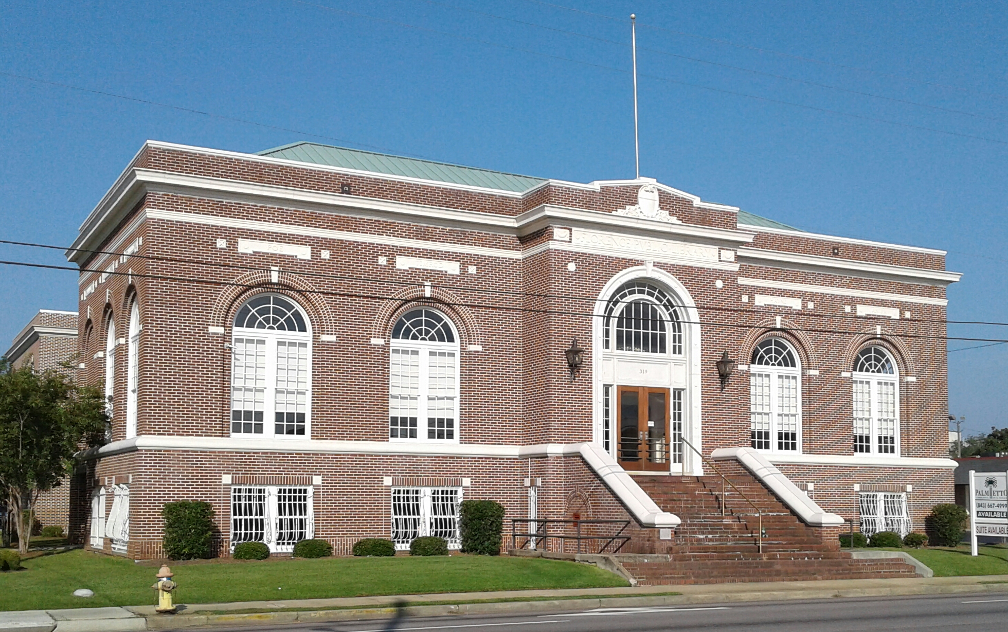
Streets nearby
South Coit StreetCumberland United Methodist Church, Addie's Baby Paint & Sip Studio
450 ft
Jerome Street0.1 mi
West Elm Street0.2 mi
McQueen StreetSexton Dental Clinic
0.2 mi
Covington Street0.2 mi
Hickory Street0.2 mi
Chase Park Circle0.2 mi
South Irby StreetGeorge P. Economy General Dentistry, Greyhound, New China Buffet, Rodeway Inn, Bazen's Country Buffet, AutoZone, Flowers' Discount Bakery Store, Maryland Fried Chicken, BTJ Wings, Advance Auto Parts, Jumpin' J's, Jonah Indian Kitchen, Miguel's Grill, Sakura Japanese Restaurant, Palmetto Subs, Subway, 92 Go, Jiffy Lube, Da Massimo, Auto Money Title Loans, Buddy's Home Furnishings, Chinatown Market, Mary's Flowers and Gifts, Carolina Collectibles, Dreaming Ink Tattoos, Trinity Auto Glass, Pizza Hut, Dr. Roswell Nathaniel Beck, Public Parking at The Emerson, Exxon, The Salvation Army, McDonald's, Taquiera Veracruz, Tienda Mexicana Veracruz, Take 5, Circle K
0.2 mi
West Palmetto StreetFirst Baptist Church, Poynor School, Harllee Natural History Museum, Groucho's Deli, Shell, Krispy Kreme, Martinizing, Little Caesars, Galactic Comics, TreadQuarters, Tidal Wave Auto Spa of Florence, Checkers, Palapas Don Jose, Starfire Grill, Sonic, Sherwin-Williams, Florence Book Exchange, Jimmy John's, The Church Of Jesus Christ, LoanMax, Long Grain Cafe, HelioSkintrix, Cold Stone Creamery, The UPS Store, First of the Month Eatery, PNC Bank, Why Not Wings?
0.2 mi
West Cheves StreetFrancis Marion Performing Arts Center, Central United Methodist Church
0.3 mi
McLeod Street0.3 mi
McLeod Alley0.3 mi
East Palmetto StreetCentral Fire Station, Flavors of India, The Drive-In, KFC, Jackie Postons
0.4 mi
West Evans StreetHope Missionary Baptist Church, Top Hat Special-Teas Inc, The Tim Smith Salon, African Braids, King Cadillac Buick GMC, Car Town Kia of Florence, Florence Police Department, US Marshal's Service, Bank of America, KFC, Holt Bros. BBQ, Breaker's, Miyami Japanese Steakhouse, Taqueria y Antojitos El Cacheton, Palmetto Subs, Angry Chicken 'o Fish, Takoyaki, Sexy By Nature, Beautiful Nails, Vie Glamour, Imperial Ink Tattoo Studio, Dizzy Crab, Pete's Barber Shop, Norton Stereo, Main Post Office, C Mart, USPS, Konnichiwa, Popeyes, Wendy's, GameStop, Talbots
0.4 mi
East Cheves Street0.4 mi
South Railroad AvenueCentral Baptist Church
0.4 mi
South Dargan StreetBird's Nest, Thai House II, Lula's Coffee, Wholly Smokin'
0.4 mi
Apartment buildings nearby
The Emerson0.3 mi
Auto repair shops nearby
Wheel Country Tire0.1 mi
Banks nearby
Southern State Bank0.2 mi
First Citizens Bank0.2 mi
Buildings nearby
Florence 1 Schools Administrative Building0.1 mi
Circle Park Behavioral Health0.2 mi
AT&T0.2 mi
Parish Hall0.4 mi
Sunday School Wing0.4 mi
Fellowship Hall0.4 mi
Commercial buildings nearby
Church Office0.4 mi
Community centers nearby
Hampton Lodge No. 204, A.F.M.0.2 mi
Convenience stores nearby
Tommy's Quick Mart0.2 mi
Dentist's offices nearby
CAROLINA REGIONAL DENTAL0.2 mi
Grasslands nearby
Green Plaza0.4 mi
Hotels nearby
Hotel Florence, Tapestry Collection by Hilton0.4 mi
Libraries nearby
Drs Bruce and Lee Foundation Library0.3 mi
Schofield Library0.4 mi
Motels nearby
Uptown Motel0.1 mi
Museums nearby
Florence County Museum0.4 mi
Parking lots nearby
FDTC Parking Garage0.2 mi
Parks nearby
Haigh Porter Park0.3 mi
Roy Adams Breezeway0.4 mi
James Allen Plaza0.4 mi
Places of worship nearby
Santuary0.4 mi
Public buildings nearby
Florence City Center0.3 mi
Restaurants nearby
Townhouse Restaurant0.1 mi
School buildings nearby
Frances Marion University Performing Arts Center0.3 mi
Technical colleges nearby
FDTC Health-Science Campus0.2 mi
Theaters nearby
Florence Little Theatre0.3 mi
University buildings nearby
Luther F. Carter Center for Health Sciences0.4 mi
Hugh and Jean Leatherman Medical Complex0.4 mi
Public transit map Florence Legend
| Railway | |
| Bus | |
| Streetcar |
Bicycle map Florence Legend
| Bike path | |
| Bike lane on roadway | |
| Cycling allowed on bus lane | |
| Bicycle street | |
| Open to cyclists | |
| Open to cyclists, good path | |
| Cycling prohibited | |
| Cobblestone |
| Long-distance bike route | (depending on scale) | |
| Long-distance bike route |
Pedestrian map Florence Legend
| Path |
| Long-distance hiking trail | (depending on scale) | |
| Long-distance hiking trail | ||
| Pedestrians prohibited |