
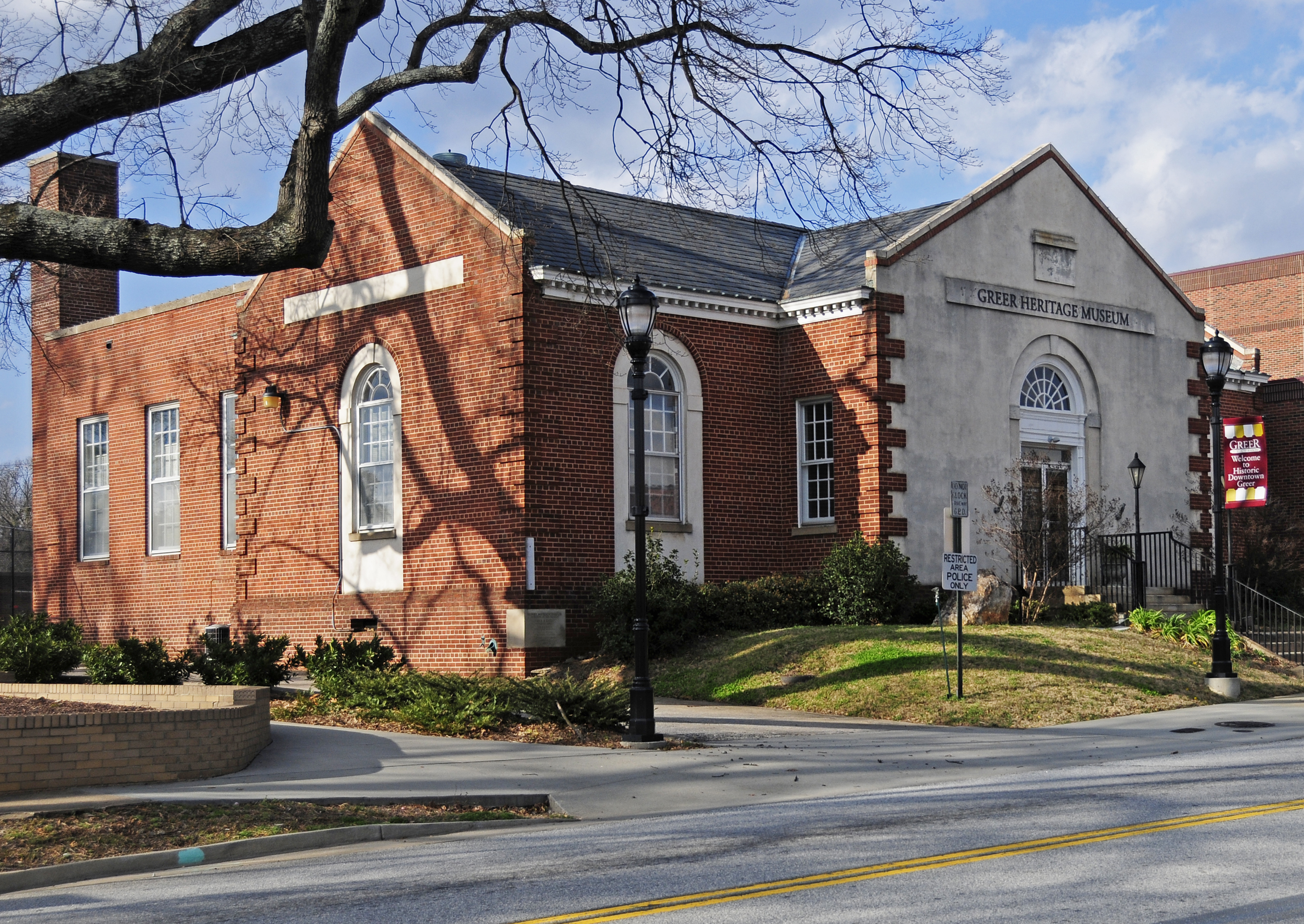
Ballenger Avenue in Greer, South Carolina
Ballenger Avenue in Greer is an asphalted residential street and runs in a north-south direction starting from West Arlington Avenue and ends at West Church Street. Ballenger Avenue also exists in Spartanburg County.
- Road Type
- residential street
- Route
- north-south
Image
Hair salons
Public bookcases
Public clocks
Photo stores
Clinics
Restaurants
Galleries
Shoe stores
Banks
Clothing stores
Social facilities
Pharmacies
Tire dealers
Ice cream shops
Art galleries
Streets nearby
West Church StreetBrightStar Care
250 ft
Few StreetMcLeskey Todd Family Pharmacy, Notch Salon, Barnett Gallery
450 ft
Parkview Greer Circle0.1 mi
West Arlington Avenue0.1 mi
North Main StreetRedbox, Maya Nails & Spa, Famous Barbershop and Salon, Finally Mine, LaundryPlus, Eagles Liquor, Beer, and Wine
0.1 mi
West Poinsett StreetGregorys Boutique, Clara's Alterations and Shoe Repair, Fara flow, Global Smart Wireless, Salon Selah, Inner Glo, ERP Life Pharmacy & Wellness, Chocolate Dreams, Trudy's Timeless Treasures, Ross and Gray, City Tire, Merrell's Pizzeria, Auto Amigo, Sweet Rides, Crown, Allegra Print & Imaging, Iglesia Bautista Calvario, Latin Style
0.1 mi
Jason Street0.2 mi
West Fairview Avenue0.2 mi
Hilton Street0.2 mi
Cannon StreetSalon Sophia
0.2 mi
East Arlington Avenue0.2 mi
Drace Avenue0.2 mi
Fairview AvenueThe Palmetto Mirror and Art Glass Company
0.2 mi
West Bearden Street0.3 mi
East Fairview AvenueABC Store
0.4 mi
East Bearden StreetTruth Assembly Worship Center
0.4 mi
Vandiventer DriveLittle Free Library
0.4 mi
Berry AvenueFamily Dollar, Rilion Gracie, Evolution Of Hair Studio, Taqueria De La Cruz
0.4 mi
Mcneely Circle0.4 mi
Earl StreetQuality Foods
0.5 mi
North Line Street0.5 mi
Banks nearby
Greenville Federal Credit Union300 ft
United Bank0.4 mi
Beauty salons nearby
Pure Wellness Spa0.2 mi
Buildings nearby
Robert G. Turner House0.2 mi
Car washes nearby
Miller's Car Wash Professionals0.3 mi
Commercial buildings nearby
Medical Arts Building100 ft
Joseph L. Allen500 ft
Victory Mount0.1 mi
Garber Physical Therapy0.2 mi
Drugstores nearby
Walgreens0.5 mi
Event venues nearby
Cannon Centre0.2 mi
Hotels nearby
Hampton Inn Greer Greenville0.1 mi
Parking lots nearby
Jason Street Garage0.2 mi
Parks nearby
Greer City Park0.2 mi
Places of worship nearby
Memorial United Methodist Church350 ft
Grace Church0.2 mi
The Episcopal Church of the Good Shepherd0.2 mi
Bethel United Methodist Church0.2 mi
Mt. Zion FBH Church0.4 mi
Residential areas nearby
Park View Apartments0.2 mi
Companion at Arlington0.4 mi
Restaurants nearby
The Bleu Porch Kitchen & Market0.2 mi
Harvest Kitchen0.2 mi
New China0.5 mi
Single-family houses nearby
Church Office250 ft
R. Perry Turner House0.1 mi
The 5060.3 mi
Specialty stores nearby
Crescent Supply Co0.2 mi
Public transit map Greer Legend
| Railway | |
| Bus | |
| Streetcar |
Bicycle map Greer Legend
| Bike path | |
| Bike lane on roadway | |
| Cycling allowed on bus lane | |
| Bicycle street | |
| Open to cyclists | |
| Open to cyclists, good path | |
| Cycling prohibited | |
| Cobblestone |
| Long-distance bike route | (depending on scale) | |
| Long-distance bike route |
Pedestrian map Greer Legend
| Path |
| Long-distance hiking trail | (depending on scale) | |
| Long-distance hiking trail | ||
| Pedestrians prohibited |