
Cannon Street in Greer, South Carolina
Cannon Street in Greer is an asphalted residential street and runs in a northeast-southwest direction. Cannon Street also exists in Charleston, Spartanburg County and Dorchester County.
- Road Type
- residential street
- Speed Limit
- 25 mph
- Route
- northeast-southwest
Image
Clothing stores
Pharmacies
Photo stores
Public clocks
Restaurants
Artworks
Shoe stores
Antique stores
Bars
Hair salons
Clinics
Ice cream shops
Vending machines
Banks
Game stores
Streets nearby
Jason Street50 ft
Parkview Greer Circle450 ft
Victoria Street0.1 mi
North Line Street0.1 mi
North Main Street0.1 mi
Trade Street0.1 mi
East Poinsett Street0.2 mi
Few Street0.2 mi
West Poinsett Street0.2 mi
Ballenger Avenue0.2 mi
McAbee Road0.2 mi
Depot Street0.2 mi
Antique stores nearby
Olive’s Branch Auction Gallery0.2 mi
Apartment buildings nearby
Victoria Arms0.2 mi
Auto repair shops nearby
Cooper's Gas King0.1 mi
Banks nearby
Greenville Federal Credit Union0.2 mi
CBL State Savings Bank0.2 mi
Beauty salons nearby
Pure Wellness Spa250 ft
Buildings nearby
The Offices at 104 Trade0.2 mi
Cafes nearby
Barista Alley0.1 mi
Clothing stores nearby
Southern Sisters Boutique0.2 mi
Lola's Boutique0.2 mi
Commercial buildings nearby
Victory Mount0.1 mi
Greer Law0.2 mi
Langley & Associates0.2 mi
Stoner Engineering Consultants0.2 mi
Courthouses nearby
Greer Municipal Court0.2 mi
Event venues nearby
Cannon Centre0.1 mi
Historic Greer Depot0.2 mi
Fire stations nearby
City of Greer Fire Department - Station 10.2 mi
Florists nearby
Urban Petals0.2 mi
Hair salons nearby
Salon Bellissimo0.2 mi
Hotels nearby
Hampton Inn Greer Greenville400 ft
Museums nearby
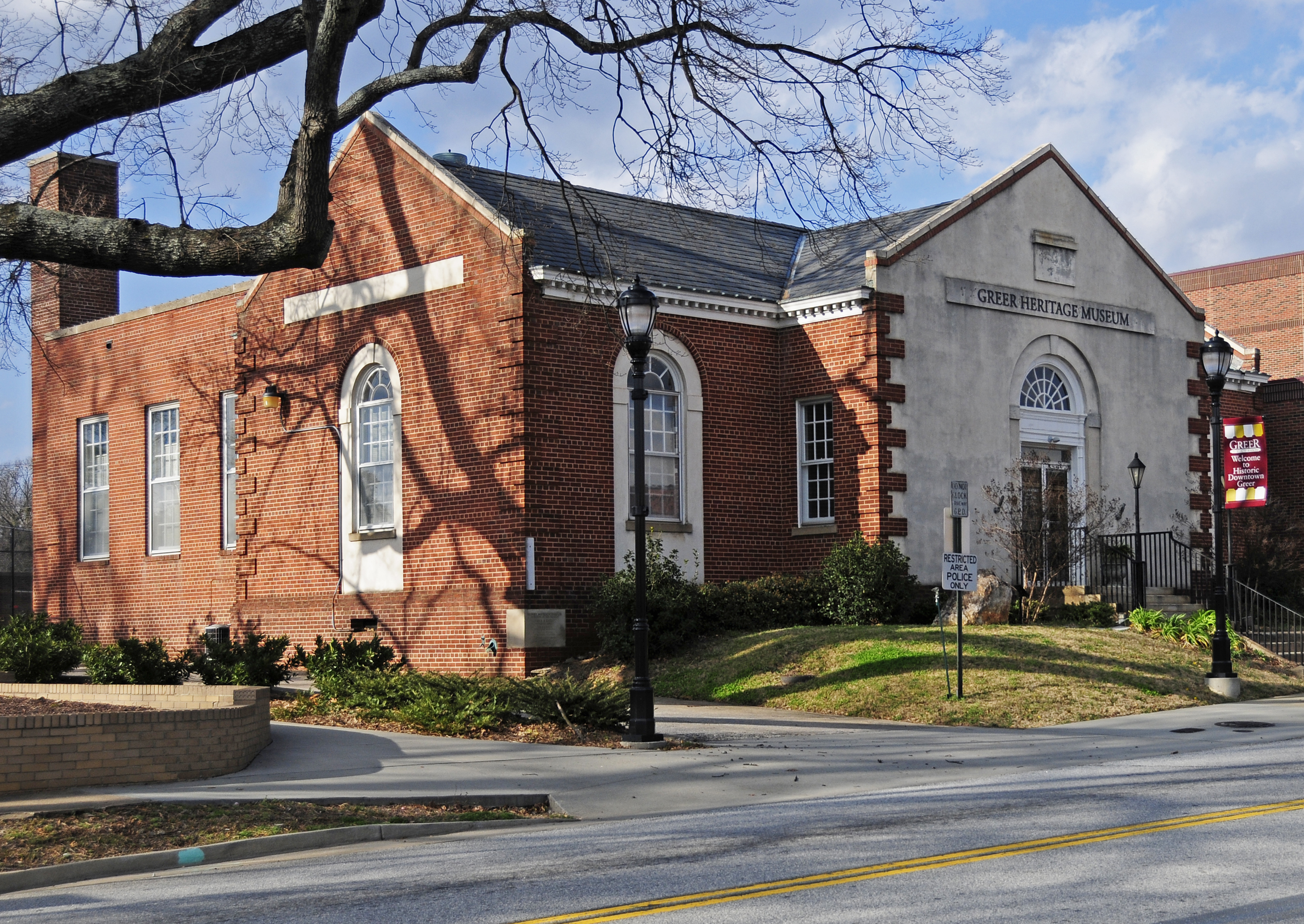
Greer Heritage Museum0.2 mi
Parking lots nearby
Jason Street Garage350 ft
Parks nearby
Greer City Park0.1 mi
Places of worship nearby
The Episcopal Church of the Good Shepherd200 ft
Grace Church450 ft
Memorial United Methodist Church0.1 mi
Police stations nearby
Greer Police Department0.2 mi
Pubs nearby
Camaroon Lounge0.1 mi
Railways nearby
Belton Subdivision0.2 mi
Residential areas nearby
Park View Apartments500 ft
Restaurants nearby
Harvest Kitchen200 ft
Wild Ace Pizza & Pub0.1 mi
The Slice0.2 mi
Trade Street Social0.2 mi
Shelters nearby
Picnic Pavilion0.1 mi
Town halls nearby
Greer City Hall0.1 mi
Public transit map Greer Legend
| Railway | |
| Bus | |
| Streetcar |
Bicycle map Greer Legend
| Bike path | |
| Bike lane on roadway | |
| Cycling allowed on bus lane | |
| Bicycle street | |
| Open to cyclists | |
| Open to cyclists, good path | |
| Cycling prohibited | |
| Cobblestone |
| Long-distance bike route | (depending on scale) | |
| Long-distance bike route |
Pedestrian map Greer Legend
| Path |
| Long-distance hiking trail | (depending on scale) | |
| Long-distance hiking trail | ||
| Pedestrians prohibited |