
Elm Street in Lexington, South Carolina
Elm Street in Lexington is a residential street. It runs in an east-west direction starting from Roberts Street and crosses South Village Road, Elm Court, Woodland Drive and 3rd Avenue and ends at South Church Street. Elm Street also exists in Cayce.
- Road Type
- residential street
- Route
- east-west
Image
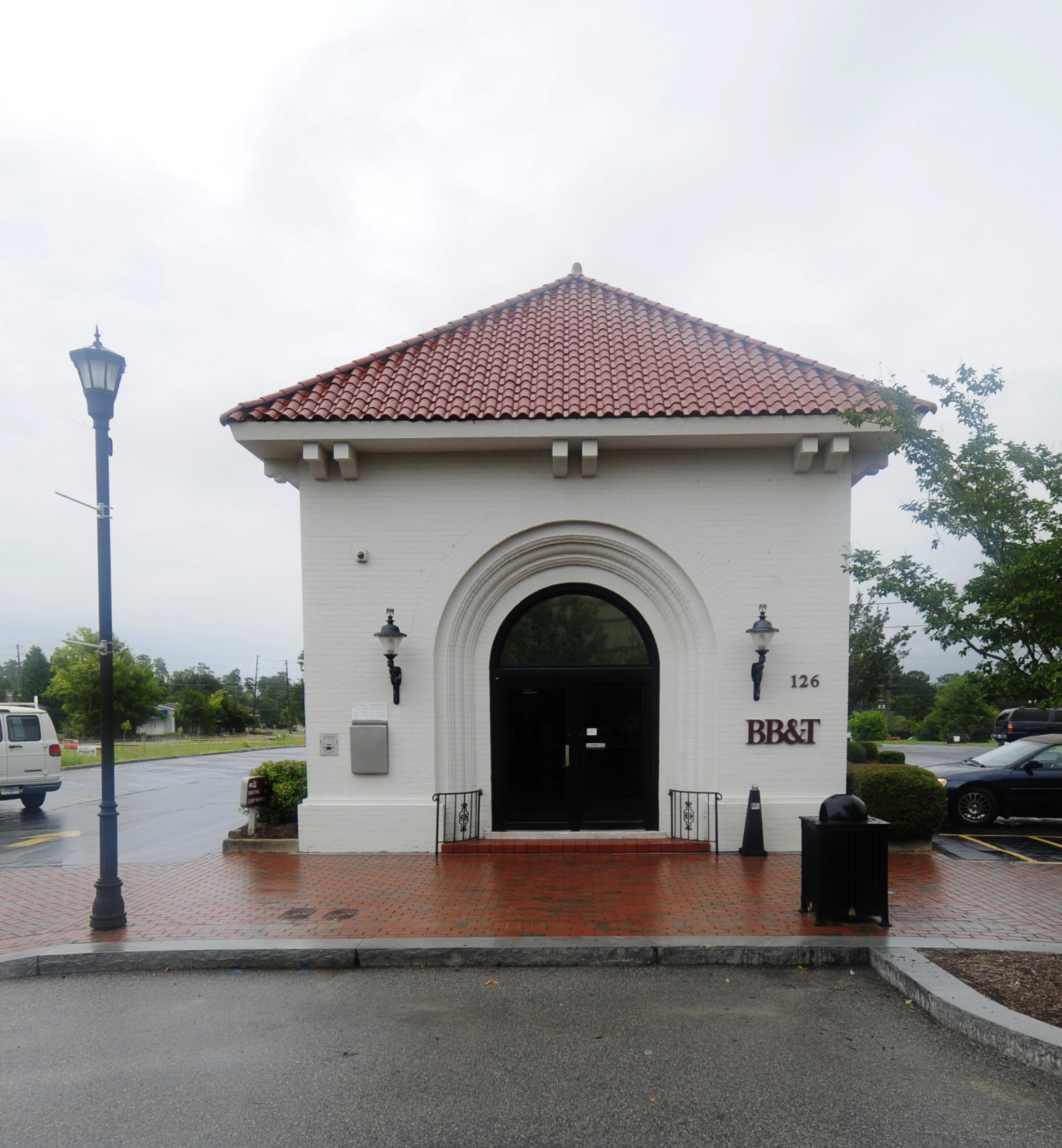
Clothing stores
Bed stores
Bakeries
Driving schools
Pharmacies
Restaurants
Cafes
Sporting goods stores
Hair salons
Dentist offices
Fabric stores
Hotels
Massage therapy clinics
Streets nearby
Taylor Circle350 ft
South Church StreetCribb's Sandwich & Sweet Shop
0.1 mi
Barre Street0.1 mi
2nd Avenue0.1 mi
Woodland DriveLexington Woods
0.2 mi
Elm Court0.2 mi
3rd AvenueSalon On Main
0.2 mi
Addy Lane0.2 mi
Roberts Street0.2 mi
Maiden LaneLexington
0.3 mi
South Lake DriveCircle K, Thompson Rental Services
0.3 mi
East Main StreetCraig Reagin Clothier, Decorative Fabrics, Creekside, Hair Salon Marketplace, The Tent, O'Hara's Bakery Cafe, Cho Salon & Boutique, Tenfold Collective, XYZ Boutique, Deli
0.3 mi
Rogers Court0.3 mi
West Main StreetHutchinson Family Dentistry, Bubba's Biscuit, barrio, Best Mattress, TakoSushi, Gulf, Catch Seafood, Lexington Driving Academy, Mediterranean Cafe, Private Property, Circle K, Rev Auto Tires & Brakes, Exxon, Maurice's BBQ, Lexington Florist & Flower Center, Pope Davis Tire & Automotive, First Citizens Bank, Firehouse Subs, Tokyo Grill, Blaney's Wings & Grill, THE LEX
0.3 mi
North Church StreetNicky's Pizzeria
0.3 mi
Whisper Lake Drive0.3 mi
Gantt Street0.3 mi
South Village Road0.3 mi
Branch Circle0.3 mi
High Road0.4 mi
Baywood Court0.4 mi
Cedar Street0.4 mi
Water Oak Drive0.4 mi
Black Avenue0.4 mi
Fox Street0.5 mi
Haygood AvenueTease Me Salon
0.5 mi
Apartment buildings nearby
Court Lane Apartments0.3 mi
Buildings nearby
Kinard & Jones, LLC0.2 mi
Icehouse Pavilion0.2 mi
Physicians WEIGHT LOSS Centers0.3 mi
Nationwide0.3 mi
Lexington County Health & Human Services0.5 mi
Cemeteries nearby
Boozer Family Cemetery0.5 mi
Courthouses nearby
Lexington County Courthouse0.3 mi
Drugstores nearby
Walgreens0.6 mi
Fast food restaurants nearby
Groucho's Deli0.3 mi
Hotels nearby
Holiday Inn Express0.4 mi
Parks nearby
Virginia Hylton Park0.2 mi
Places of worship nearby
Center Pointe Community Church0.3 mi
St. Stephen's Lutheran Church0.3 mi
RADIUS Church0.4 mi
Residential areas nearby
Shadow Moss0.5 mi
Restaurants nearby
Cafe Strudel0.2 mi
O'Hara's Public House0.3 mi
Libby's0.3 mi
Bodhi Thai Dining0.3 mi
Keg Cowboy Bar & Restaurant0.3 mi
Tourist information centers nearby
Lexington Chamber & Visitors Center0.4 mi
Town halls nearby
Town of Lexington Municipal Complex0.2 mi
Public transit map Lexington Legend
| Railway | |
| Bus | |
| Streetcar |
Bicycle map Lexington Legend
| Bike path | |
| Bike lane on roadway | |
| Cycling allowed on bus lane | |
| Bicycle street | |
| Open to cyclists | |
| Open to cyclists, good path | |
| Cycling prohibited | |
| Cobblestone |
| Long-distance bike route | (depending on scale) | |
| Long-distance bike route |
Pedestrian map Lexington Legend
| Path |
| Long-distance hiking trail | (depending on scale) | |
| Long-distance hiking trail | ||
| Pedestrians prohibited |