
Reed Avenue in Lexington, South Carolina
Reed Avenue in Lexington is an asphalted residential street. It runs in a north-south direction and crosses Northwood Road, Wessinger Drive, Liverman Road and Columbia Avenue and ends at West Butler Street, while the other end is a cul-de-sac. Nearby there is a dentist office. Reed Avenue also exists in Beaufort County and Newberry County.
- Road Type
- residential street
- Speed Limit
- 30 mph
- Route
- north-south
Image
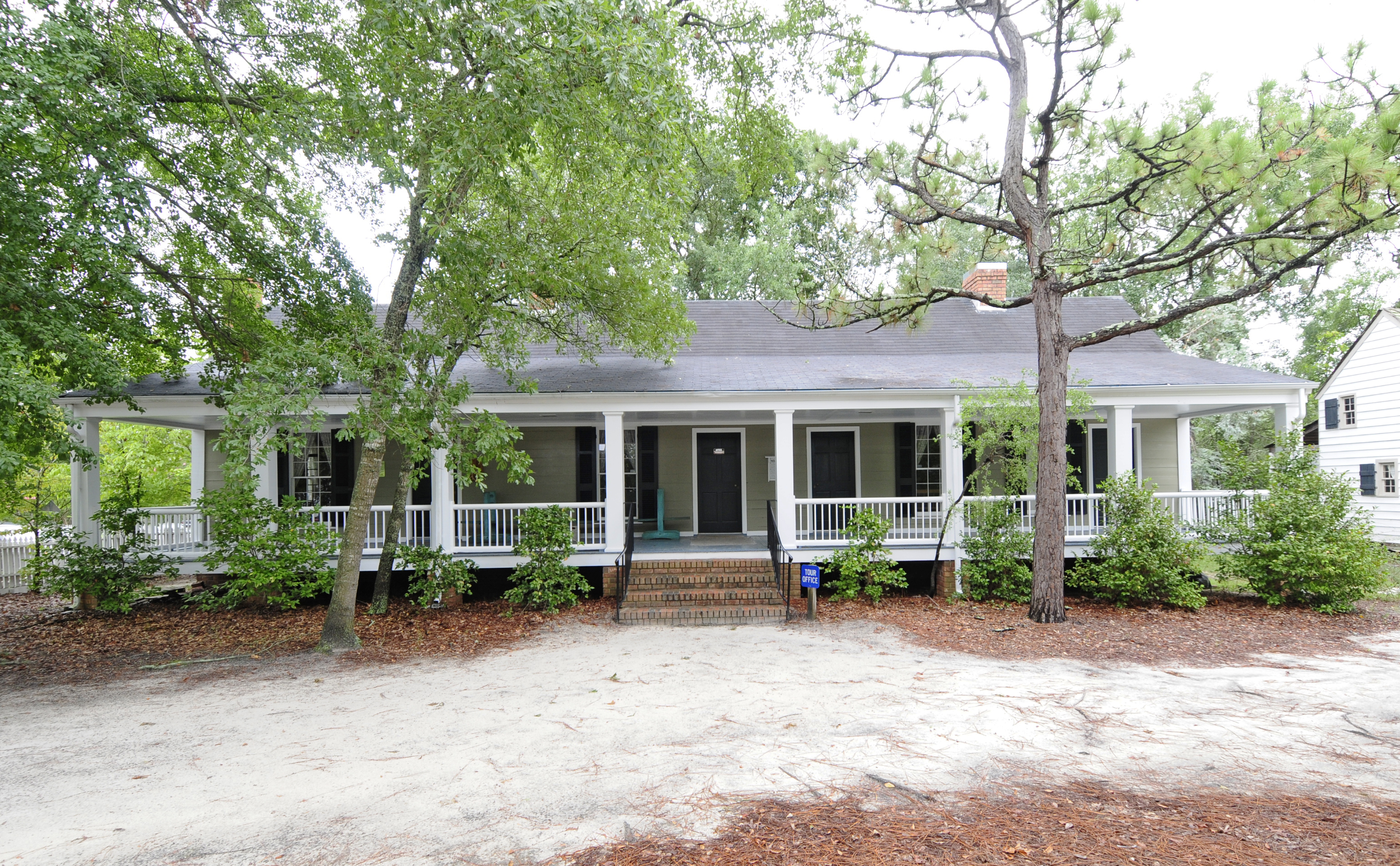
Dentist offices
Streets nearby
Liverman Road400 ft
Northwood Road500 ft
Brookgreen Drive0.1 mi
Ivy Park Lane0.1 mi
Wessinger Drive0.1 mi
Pine Street0.1 mi
Old Armory Court0.2 mi
Old Chapin RoadRush's, Murphy Express
0.2 mi
Forest Drive0.2 mi
Caughman Road0.3 mi
Tanglewood DriveLakewood
0.3 mi
Berly Street0.3 mi
Snelgrove RoadLexington Fire Station 10
0.3 mi
Haygood AvenueTease Me Salon
0.3 mi
West Butler StreetQuality Inn & Suites, Childrens Learning Place, Clutch Coffee
0.3 mi
Waverly Court0.3 mi
Park RoadAuto Station
0.4 mi
Black Avenue Extended0.4 mi
Heights Avenue0.4 mi
Buckhead Court0.4 mi
Waverly Drive0.4 mi
Rama LaneLakeland
0.4 mi
Saks Avenue0.4 mi
West Main StreetFirehouse Subs, Tokyo Grill, Blaney's Wings & Grill, THE LEX, Gulf, Catch Seafood, Lexington Driving Academy, Mediterranean Cafe, Private Property, Circle K, Rev Auto Tires & Brakes, Exxon, Maurice's BBQ, Lexington Florist & Flower Center, Pope Davis Tire & Automotive, First Citizens Bank, Hutchinson Family Dentistry, Bubba's Biscuit, barrio, Best Mattress, TakoSushi
0.4 mi
Ellis AvenueRF's Corner Grill, Musician's Supply, Tylar Rose, Frank's Barber Shop, Chocolate Wonderland, Paws for Applause
0.4 mi
Waverly Point Drive0.5 mi
Amenities nearby
Black Tiger Tae Kwon Do0.4 mi
Leisure nearby
Lexington Leisure Center0.3 mi
Banks nearby
Truist0.2 mi
Wells Fargo0.3 mi
Beauty salons nearby
USA Nails0.4 mi
Bed stores nearby
Michaelis Mattress Company0.3 mi
Cemeteries nearby
George Gross Cemetery0.2 mi
Boozer Family Cemetery0.3 mi
Drugstores nearby
Walgreens0.3 mi
Fast food restaurants nearby
Captain D's0.2 mi
McDonald's0.2 mi
Cook Out0.4 mi
Hair salons nearby
Terry's Barber Shop0.4 mi
Paint stores nearby
Lexington Paint & Flooring0.3 mi
Pet stores nearby
Pet Supermarket0.3 mi
Pharmacies nearby
Medicine Mart Pharmacy0.2 mi
Places of worship nearby
St Paul Baptist Church of Lexington0.4 mi
Post offices nearby
Lexington Post Office0.5 mi
Residential areas nearby
Shadow Moss0.4 mi
Restaurants nearby
Wings N Ale0.4 mi
Lizard's Thicket0.4 mi
Supermarkets nearby
Food Lion0.5 mi
Veterinary clinics nearby
Lexington Animal Clinic0.4 mi
Public transit map Lexington Legend
| Railway | |
| Bus | |
| Streetcar |
Bicycle map Lexington Legend
| Bike path | |
| Bike lane on roadway | |
| Cycling allowed on bus lane | |
| Bicycle street | |
| Open to cyclists | |
| Open to cyclists, good path | |
| Cycling prohibited | |
| Cobblestone |
| Long-distance bike route | (depending on scale) | |
| Long-distance bike route |
Pedestrian map Lexington Legend
| Path |
| Long-distance hiking trail | (depending on scale) | |
| Long-distance hiking trail | ||
| Pedestrians prohibited |