
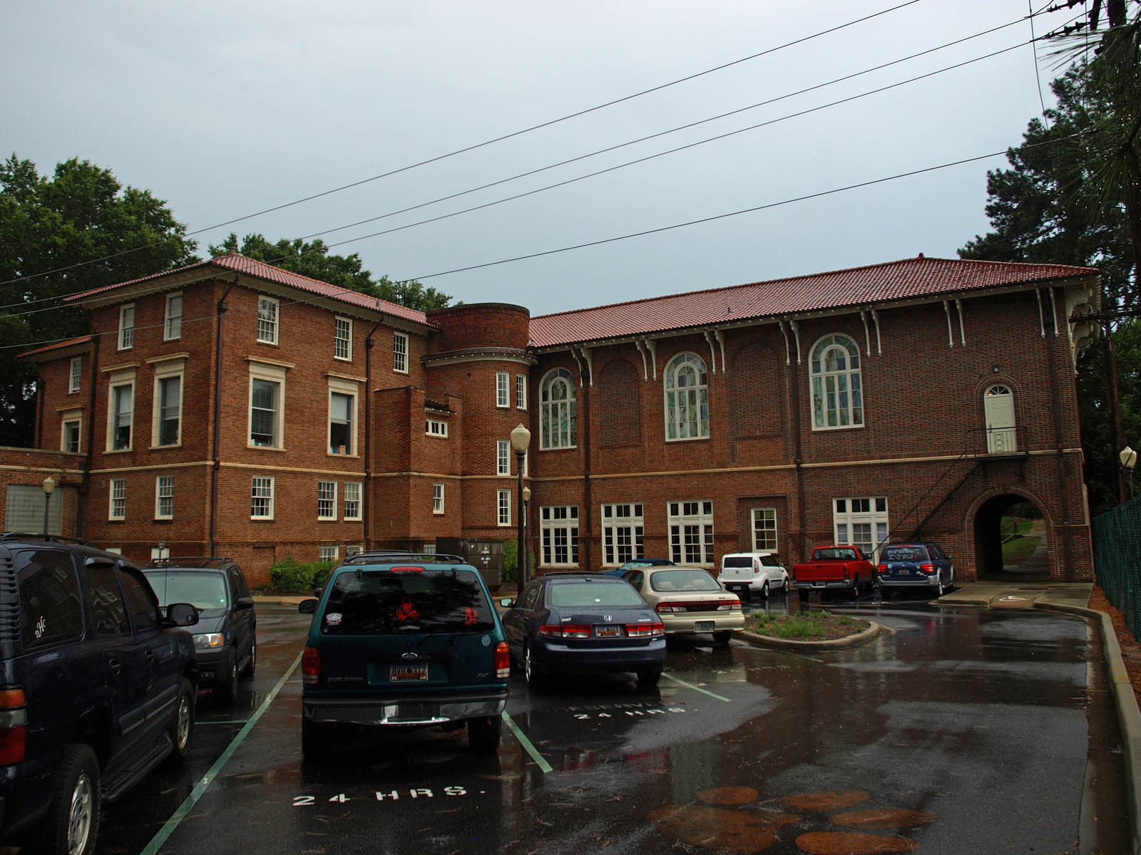
McCollum Street in Clemson, South Carolina
McCollum Street in Clemson is an asphalted residential street. It runs as a one-way street in a northeast-southwest direction starting from Keith Street and ends at Earle Street. McCollum Street also exists in Easley.
- Road Type
- residential street
- Route
- northeast-southwest
Image
Pubs
Doctor's offices
Liquor stores
Clothing stores
Pastry shops
Frame shops
Hair salons
Fast food restaurants
Restaurants
Sporting goods stores
Beauty salons
Streets nearby
Fendley StreetInsomnia Cookies
200 ft
Keith StreetMoe's Southwest Grill, White Willow Boutique, Jimmy John's, Chipotle, Ultra Tan, Charles and Al's Barber Shop
200 ft
Earle StreetClemson Vision Center, Variety and Frame, Cocobowlz, Your Pie
250 ft
Foy Creek Drive500 ft
Addison Lane0.1 mi
College AvenueSummer Moon Coffee, Hair South, Liters
0.1 mi
Old Greenville HighwayT.D.'s
0.2 mi
Sherman Street0.2 mi
Daniel DriveClemson Bookstore - Barnes and Noble, Starbucks
0.2 mi
Gantt CircleMemorial Auditorium
0.3 mi
Calhoun DriveBrackett Bike Rack, Spiral Mesh, Brackett Hall
0.3 mi
Parkway Drive0.3 mi
Buildings nearby
The Ridge0.1 mi
Apartment buildings nearby
Campus View Apartments250 ft
U Centre on College350 ft
Buildings nearby
Wells Fargo200 ft
Planning and Codes Administration500 ft
Shirley Center for Philanthropy0.1 mi
Cafes nearby
All-In Cafe100 ft
Clothing stores nearby
Judge Keller's500 ft
Commercial buildings nearby
Clemson Centre400 ft
Convenience stores nearby
Fast Point Food Store0.1 mi
Dentist's offices nearby
Advanced Upstate Endodontics150 ft
Fast food restaurants nearby
Groucho's Deli300 ft
Todaro Pizza450 ft
World Class Cheeseburgers500 ft
Hotels nearby
The Shepherd Hotel450 ft
Parking lots nearby
Fendley Street Parking Deck450 ft
Keith Street Parking Deck500 ft
Parks nearby
Bowman Field0.3 mi
Places of worship nearby
First Baptist Church450 ft
Clemson Lutheran Church0.1 mi
Pubs nearby
Backstreets Pub & Grill100 ft
Sloan Street Tap Room500 ft
Study Hall550 ft
Wingin' It0.1 mi
Residential buildings nearby
Simpson Hall North0.2 mi
Restaurants nearby
Itsurwiener Restaurant and Bar200 ft
Palmetto's Smokehouse & Oyster Bar0.1 mi
Retail areas nearby
Rubin Square300 ft
Stadiums nearby
Riggs Field0.2 mi
University buildings nearby
Mell Hall0.2 mi
Littlejohn House0.2 mi
Holtzendorff Hall0.2 mi
Alumni Center0.2 mi
Godfrey Hall0.2 mi
Tillman Hall0.2 mi
Wilbur O. and Ann Powers College of Business0.3 mi
Sikes Hall0.3 mi
Public transit map Clemson Legend
| Railway | |
| Bus | |
| Streetcar |
Bicycle map Clemson Legend
| Bike path | |
| Bike lane on roadway | |
| Cycling allowed on bus lane | |
| Bicycle street | |
| Open to cyclists | |
| Open to cyclists, good path | |
| Cycling prohibited | |
| Cobblestone |
| Long-distance bike route | (depending on scale) | |
| Long-distance bike route |
Pedestrian map Clemson Legend
| Path |
| Long-distance hiking trail | (depending on scale) | |
| Long-distance hiking trail | ||
| Pedestrians prohibited |