
Wigington Street in Clemson, South Carolina
Wigington Street in Clemson is an asphalted residential street. It runs in a north-south direction starting from Edgewood Avenue and crosses Dogwood Drive and Hedgerow Lane and ends at North Clemson Avenue.
- Road Type
- residential street
- Route
- north-south
Image
Pubs
Sporting goods stores
Liquor stores
Clothing stores
Beauty salons
Hair salons
Frame shops
Fast food restaurants
Restaurants
Copy shops
Doctor's offices
Streets nearby
Hedgerow Lane500 ft
Dogwood Drive500 ft
Edgewood Avenue550 ft
Hillcrest AvenueCampus Copy Shop
0.1 mi
Sloan StreetNick's Tavern and Deli, Onward Reserve
0.1 mi
North Clemson Avenue0.1 mi
Dargan Lane0.1 mi
Crest Circle0.2 mi
Folger Street0.2 mi
McHugh Lane0.2 mi
Keith StreetMoe's Southwest Grill, White Willow Boutique, Jimmy John's, Chipotle, Ultra Tan, Charles and Al's Barber Shop
0.2 mi
Earle StreetClemson Vision Center, Variety and Frame, Cocobowlz, Your Pie
0.2 mi
Riggs Field Bridge0.2 mi
Addison Lane0.2 mi
Shorecrest Drive0.3 mi
College AvenueClemson, M.H. Frank's, Tom Winkopp Realty, Poke Star, Hubbard Young Pharmacy, Inc., Edward Young, Mouzon Family Dentistry P.A., Osaka Express, Sully's Steamers, Rally House, Loose Change, Mr. Knickerbocker's Greek Gallery, Tiger Town Graphics, All Inspired, Tiger Sports Shop, 356, Tiger Town Tavern, Top of the Tavern
0.3 mi
Keowee Trail0.3 mi
Apartment buildings nearby
The Courtyard on Sloan400 ft
Plaza One890.2 mi
U Centre on College0.2 mi
Buildings nearby
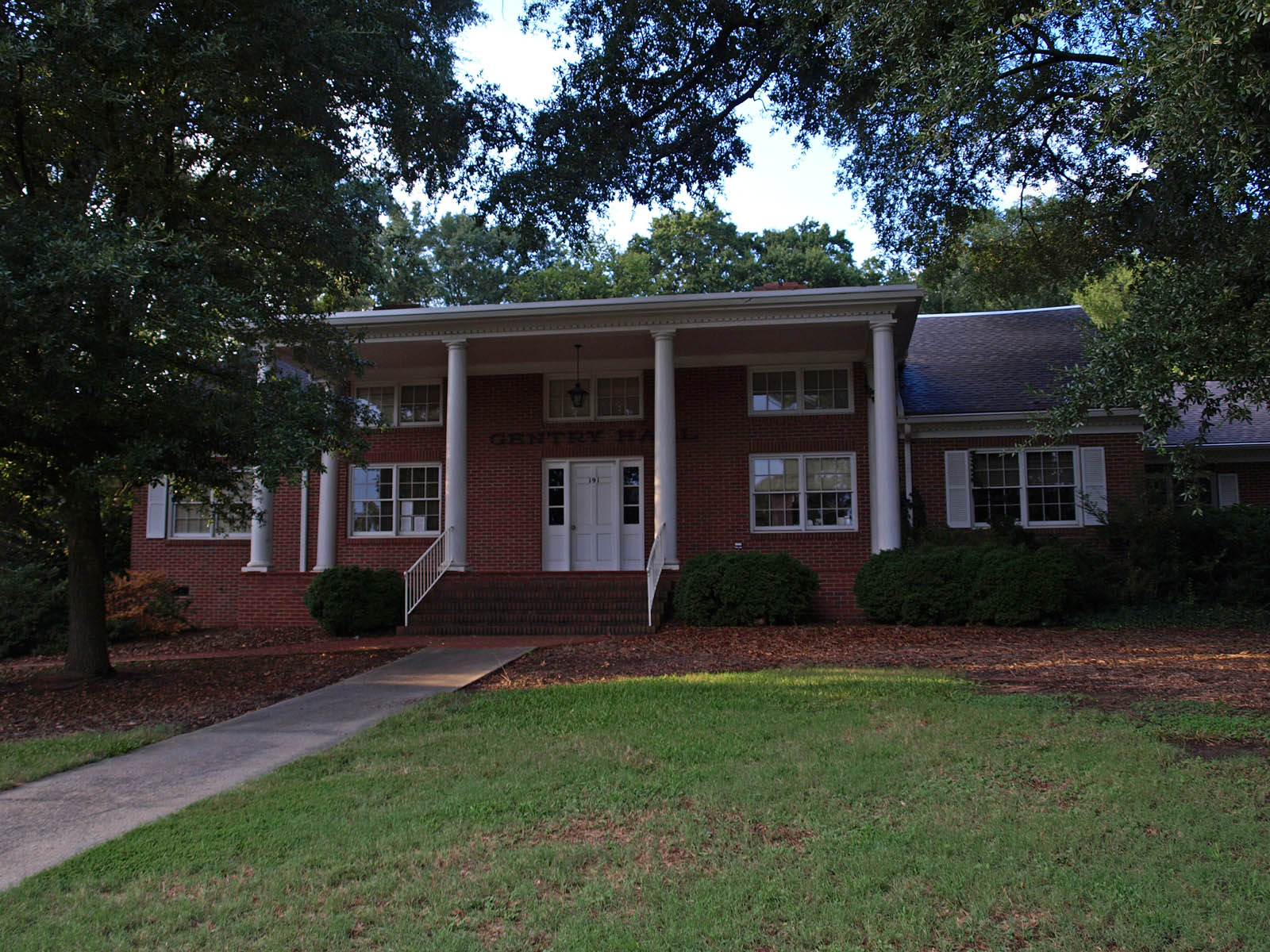
Gentry Hall0.2 mi
Wells Fargo0.2 mi
Planning and Codes Administration0.2 mi
Fort Hill Presbyterian Church Student Center0.2 mi
Carolina Real Estate0.2 mi
Clothing stores nearby
Judge Keller's0.2 mi
Commercial buildings nearby
Clemson Centre0.2 mi
Fast food restaurants nearby
Todaro Pizza0.2 mi
World Class Cheeseburgers0.2 mi
Wendy's0.4 mi
Hotels nearby
The Shepherd Hotel0.2 mi
Liquor stores nearby
Red Circle0.4 mi
Parking lots nearby
Keith Street Parking Deck0.1 mi
Parks nearby
Catherine J. Smith Plaza0.2 mi
Places of worship nearby
Saint Andrew's Parish500 ft
Clemson Lutheran Church0.1 mi
First Baptist Church0.2 mi
Clemson Baptist Collegiate Ministry0.2 mi
Fort Hill Presbyterian0.2 mi
Clemson Church of Christ0.2 mi
Pubs nearby
Sloan Street Tap Room0.2 mi
Study Hall0.2 mi
Wingin' It0.2 mi
Backstreets Pub & Grill0.2 mi
Restaurants nearby
Walk-On's Sports Bistreaux0.3 mi
Pixie & BIll's0.4 mi
Retail areas nearby
Rubin Square0.2 mi
Wall Street Center0.4 mi
Tobacco shops nearby
Palmetto Shades0.4 mi
Public transit map Clemson Legend
| Railway | |
| Bus | |
| Streetcar |
Bicycle map Clemson Legend
| Bike path | |
| Bike lane on roadway | |
| Cycling allowed on bus lane | |
| Bicycle street | |
| Open to cyclists | |
| Open to cyclists, good path | |
| Cycling prohibited | |
| Cobblestone |
| Long-distance bike route | (depending on scale) | |
| Long-distance bike route |
Pedestrian map Clemson Legend
| Path |
| Long-distance hiking trail | (depending on scale) | |
| Long-distance hiking trail | ||
| Pedestrians prohibited |