
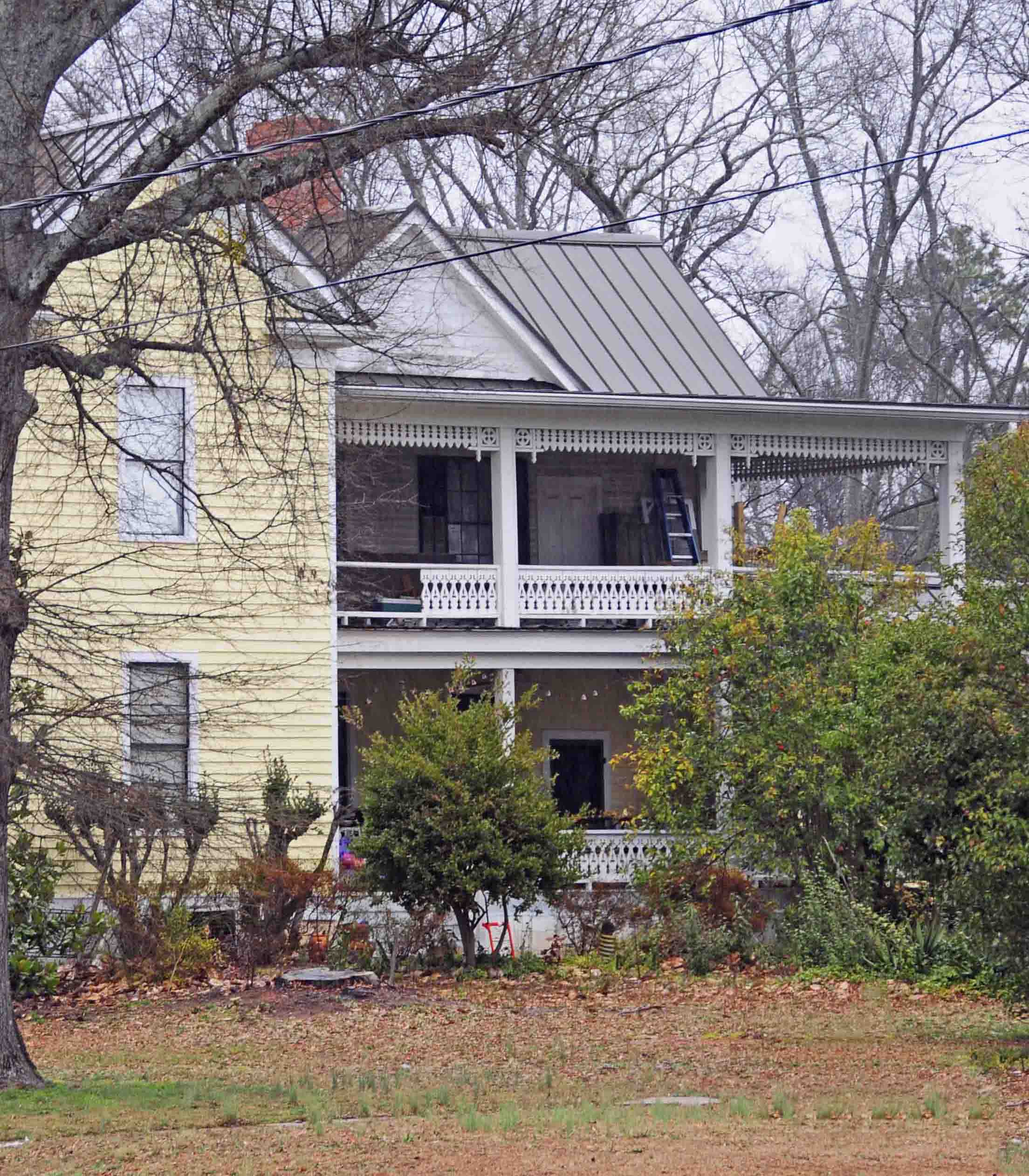
East Main Street in Pickens, South Carolina
East Main Street in Pickens is a four-lane, asphalted secondary road (Road number SC 183). It runs in an east-west direction starting from West Main Street and crosses Ann Street, Pendleton Street, Court Street, South Lewis Street and Hampton Avenue and ends at Jewel Street. This street is part of the highway "183". East Main Street also exists in Liberty and Central.
- Road Type
- secondary road
- Lanes
- 3
- Speed Limit
- 30 mph
- Route
- east-west
Image
Variety stores
Pet grooming salons
Hair salons
Pubs
Restaurants
Museums
Tourist information centers
Laundries
Ice cream shops
Fast food restaurants
Auto parts stores
Attractions
Beauty salons
Cafes
Streets nearby
North Lewis Street400 ft
Griffin Street0.1 mi
East Cedar Rock Street0.1 mi
Court Street0.1 mi
Queens CourtIrma Morris Museum of Fine Arts
0.2 mi
Hampton AvenueHardee's, Dollar General, AutoZone
0.2 mi
Johnson StreetSubway
0.2 mi
Jewel StreetBantam Chef #2
0.3 mi
Planer Street0.3 mi
Bruce Street0.4 mi
Overbrook Street0.4 mi
Shops nearby
Simply Homeschooling0.1 mi
Abandoned railways nearby
Doodle Trail0.2 mi
Antique stores nearby
Southern Home Liquidators0.1 mi
Unique Finds0.2 mi
Auto repair shops nearby
Pit Stop Auto Shop450 ft
Banks nearby
TD Bank450 ft
Pickens Savings and Loan0.1 mi
Bars nearby
Burning Brick Tavern0.1 mi
Buildings nearby
Hagood-Mauldin House400 ft
Cafes nearby
Café Connections500 ft
Garren's Cafe0.1 mi
The Backyard0.1 mi
Clinics nearby
Behavioral Health Services of Pickens County0.1 mi
Convenience stores nearby
Jetco0.2 mi
Courthouses nearby
Pickens County Courthouse0.2 mi
Covered areas nearby
AnMed Health Cannon Market Pavilion0.1 mi
Department stores nearby
Brock's Department Store0.1 mi
Fast food restaurants nearby
McDonald's150 ft
Arby's500 ft
Gardens nearby
English Garden350 ft
Rose Garden450 ft
Gift shops nearby
Oh Joy0.1 mi
Hair salons nearby
Q & Co Salon500 ft
Hardware stores nearby
Bivens Hardware Co0.2 mi
Industrial areas nearby
City of Pickens Public Works0.2 mi
Opticians nearby
Family Eye Care0.1 mi
Parks nearby
Pickens Doodle Park0.1 mi
Pastry shops nearby
You drive me glazy550 ft
Pharmacies nearby
Walgreens350 ft
CVS Pharmacy0.1 mi
Places of worship nearby
Grace United Methodist Church450 ft
Post offices nearby
US Postal Service 296710.1 mi
Produce markets nearby
Bee Well Honey & Natural Market0.1 mi
Residential areas nearby
Cottages at Doodle Park0.2 mi
Restaurants nearby
Carolina Fine Foods0.3 mi
Stadiums nearby
Bruce Field0.2 mi
Town halls nearby
Pickens City Hall0.2 mi
Village greens nearby
Legacy Square250 ft
Public transit map Pickens Legend
| Railway | |
| Bus | |
| Streetcar |
Bicycle map Pickens Legend
| Bike path | |
| Bike lane on roadway | |
| Cycling allowed on bus lane | |
| Bicycle street | |
| Open to cyclists | |
| Open to cyclists, good path | |
| Cycling prohibited | |
| Cobblestone |
| Long-distance bike route | (depending on scale) | |
| Long-distance bike route |
Pedestrian map Pickens Legend
| Path |
| Long-distance hiking trail | (depending on scale) | |
| Long-distance hiking trail | ||
| Pedestrians prohibited |