
Stewart Street in Spartanburg, South Carolina
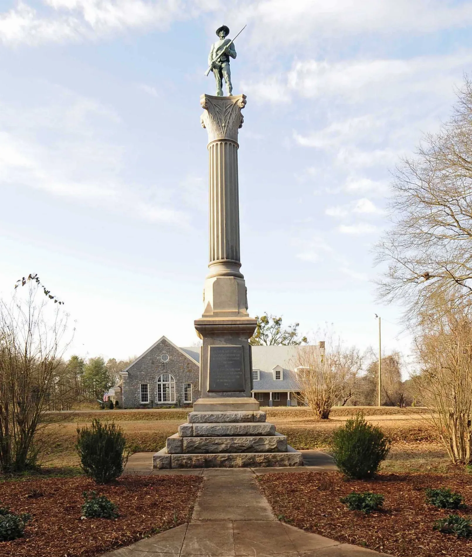
Stewart Street in Spartanburg is an asphalted residential street. It runs in a northeast-southwest direction starting from Georgia Street and crosses George Street and Owens Street and ends at Greenlea Street. Stewart Street also exists in Pickens County, Greenville County, Laurens County, Anderson County and Berkeley County.
- Road Type
- residential street
- Route
- northeast-southwest
Image
Convenience stores
Places of worship
Hair salons
Clothing stores
Cafes
Bus stops
Artworks
Supermarkets
Fast food restaurants
Restaurants
Liquor stores
Cell phone stores
Clinics
Beauty salons
Streets nearby
Georgia StreetCollins Ave. Grocery
350 ft
Collins Avenue400 ft
Victory Drive450 ft
George Street550 ft
North Carolina Avenue0.1 mi
Owens Street0.1 mi
South Carolina Avenue0.2 mi
Hudson Street0.2 mi
Greenlea Street0.2 mi
Duncan Street0.2 mi
Hanover Place0.2 mi
West Park Drive0.2 mi
Prospect Avenue0.2 mi
Lasalle Court0.2 mi
Florida Court0.2 mi
Cemetery Street0.3 mi
Caulder AvenueHarmony, The Wall of Possibilities
0.3 mi
Cornell Street0.3 mi
Pyle Court0.3 mi
Celestial Street0.3 mi
Hudson L Barksdale Boulevard0.3 mi
Montana Street0.3 mi
Arlo Court0.3 mi
Carolyn Drive0.3 mi
Alexander AvenueTNT Hot Wings, Pat's Food Store
0.3 mi
Winsmith Avenue0.4 mi
James H Young Street0.4 mi
Woodride Court0.4 mi
Nevada Street0.4 mi
Reverend W.L. Wilson Drive0.4 mi
Mary H Wright Greenway0.4 mi
Conley Street0.4 mi
Booker T Washington Drive0.4 mi
Rev J Leon Pridgeon Boulevard0.4 mi
Hannah Coln Way0.4 mi
Rev C M Johnson Avenue0.4 mi
Community centers nearby
American Legion0.2 mi
Parks nearby
Priscilla Rumley Park0.4 mi
Places of worship nearby
Maxwell Chapel Baptist Church0.2 mi
Messiah Baptist Church0.2 mi
Shiloh Seventh Day Adventist0.4 mi
Residential areas nearby
Dixie Heights300 ft
Camp Croft Courts500 ft
Maxwell Heights0.2 mi
Greenlea Park0.2 mi
Forest Park0.3 mi
Roslyn Shores0.3 mi
Duncan Park Heights0.3 mi
Hudson Terrace0.4 mi
Public transit map Spartanburg Legend
| Railway | |
| Bus | |
| Streetcar |
Bicycle map Spartanburg Legend
| Bike path | |
| Bike lane on roadway | |
| Cycling allowed on bus lane | |
| Bicycle street | |
| Open to cyclists | |
| Open to cyclists, good path | |
| Cycling prohibited | |
| Cobblestone |
| Long-distance bike route | (depending on scale) | |
| Long-distance bike route |
Pedestrian map Spartanburg Legend
| Path |
| Long-distance hiking trail | (depending on scale) | |
| Long-distance hiking trail | ||
| Pedestrians prohibited |