
East Hunter Street in Union, South Carolina
East Hunter Street in Union is an asphalted service road. It runs as a one-way street in an east-west direction starting from South Mountain Street and crosses Alsie Alley, South Gadberry Street and South Pinckney Street and ends at West Hunter Street. East Hunter Street also exists in Chesterfield County.
- Road Type
- service road
- Route
- east-west
Image
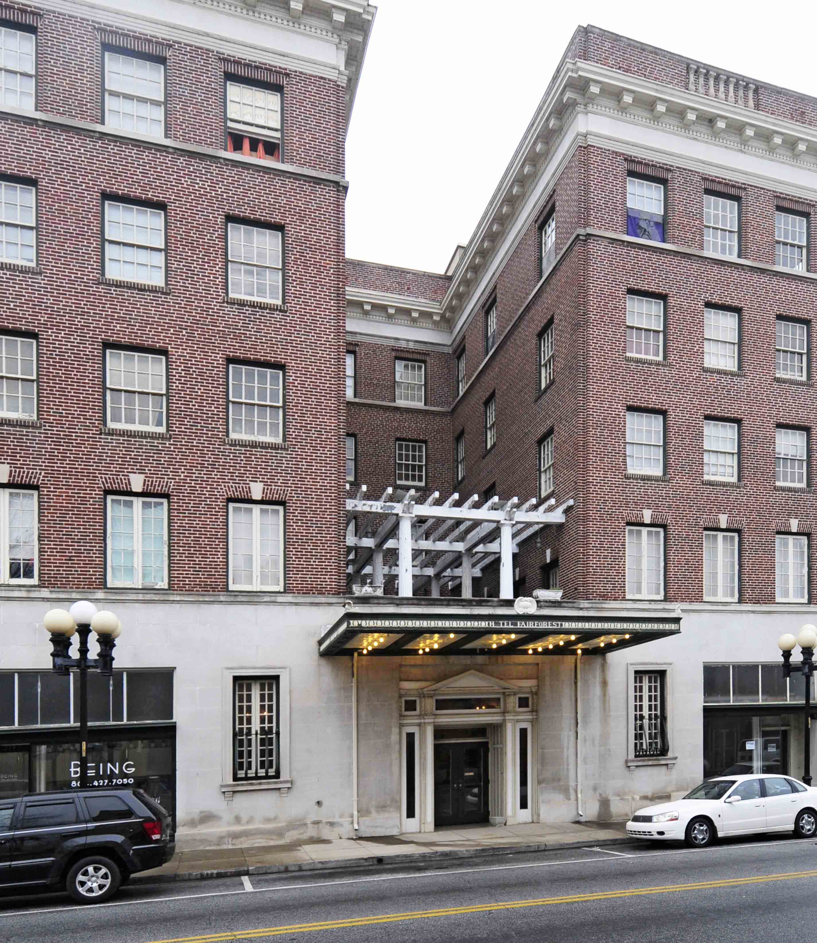
Furniture stores
Thrift stores
Dentist offices
Prisons
Restaurants
Places of worship
Beauty salons
Schools
Artworks
Town halls
Hair salons
Streets nearby
South Gadberry Street150 ft
Alsie Alley200 ft
North Gadberry Street400 ft
East South Street0.1 mi
North Pinckney StreetUnion Seventh Day Adventist Church
0.1 mi
Sharpe AvenueUnion City Hall, Union Cotton Mills mural
0.1 mi
South Mountain StreetThe Salvation Army, Nth Degree Orthodontics
0.1 mi
Palmer Street0.1 mi
East Main StreetKimbrell's Furniture
0.1 mi
West Hunter Street0.1 mi
Depot Street0.1 mi
East Academy Street0.2 mi
West Main Street0.2 mi
South Herndon Street0.2 mi
Moore Street0.2 mi
North Herndon Street0.2 mi
West Academy Street0.2 mi
South Enterprise Street0.2 mi
Skyline Drive0.2 mi
Wagnon Street0.3 mi
Corinth Street0.3 mi
North Enterprise StreetUnion County Jail
0.3 mi
Gault Avenue0.3 mi
Oak Street0.3 mi
Harlan Street0.3 mi
Cogdell Plaza0.4 mi
Gage Avenue0.4 mi
West South StreetFirst Presbyterian Church
0.4 mi
Apartment buildings nearby
Fairforest Apartments350 ft
Buildings nearby
Union County DSS200 ft
USC Union Bookstore0.1 mi
Student Services0.1 mi
Union County Chamber of Commerce0.2 mi
Cemeteries nearby
Grace Cemetery0.1 mi
Clothing stores nearby
Graham Cash400 ft
Z & Z Outlet0.1 mi
Courthouses nearby
Union County Courthouse0.2 mi
Event venues nearby
Main Street Junction450 ft
Gardens nearby
Piedmont Physic Garden0.1 mi
Rippy Courtyard0.1 mi
Libraries nearby
Union Carnegie Library0.1 mi
Museums nearby
Union County History Museum0.2 mi
Parks nearby
Main Street Junction Ornamental Park0.1 mi
Patron's Park0.1 mi
Places of worship nearby
Corinth Baptist Church0.2 mi
Railways nearby
NS Columbia District W Line0.1 mi
Train stations nearby
Union Depot0.1 mi
University buildings nearby
Science Building0.1 mi
Variety stores nearby
Family Dollar0.1 mi
Public transit map Union Legend
| Railway | |
| Bus | |
| Streetcar |
Bicycle map Union Legend
| Bike path | |
| Bike lane on roadway | |
| Cycling allowed on bus lane | |
| Bicycle street | |
| Open to cyclists | |
| Open to cyclists, good path | |
| Cycling prohibited | |
| Cobblestone |
| Long-distance bike route | (depending on scale) | |
| Long-distance bike route |
Pedestrian map Union Legend
| Path |
| Long-distance hiking trail | (depending on scale) | |
| Long-distance hiking trail | ||
| Pedestrians prohibited |