
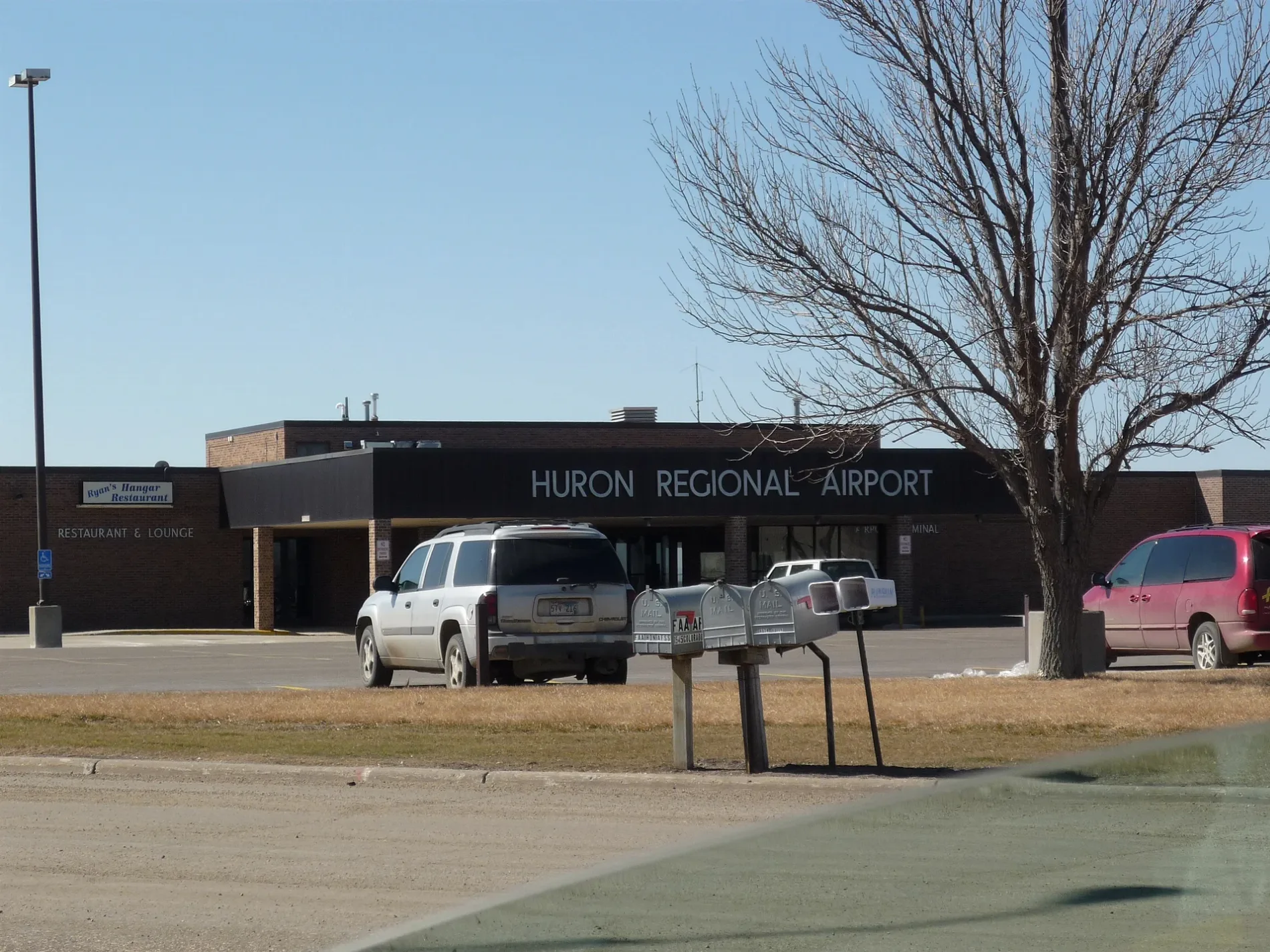
Huron Regional Airport in Huron, South Dakota
Huron Regional Airport in Huron is an airfield (IATA: HON, ICAO: KHON). Huron Regional Airport is also known as HON. Huron Regional Airport also exists in Theresa Township. Ⓦ.
Image
Streets nearby
15th Street Northwest0.4 mi
Lincoln Avenue Northwest0.4 mi
Colorado Avenue0.9 mi
7th Street NorthwestMcKinley School
1.0 mi
Broadland Creek Court1.0 mi
Broadland Creek Drive1.0 mi
Dakota Central Boulevard1.0 mi
Gulfstream Drive Northwest1.1 mi
18th Street Northwest1.1 mi
Cessna Drive Northwest1.1 mi
27th Street Northwest1.2 mi
Piper Drive Northwest1.2 mi
22nd Street Northwest1.2 mi
Arizona Avenue Northwest1.3 mi
Old Highway 141.3 mi
207th Street1.3 mi
West Park Avenue Northwest1.3 mi
Old Highway 14 WestConoco
1.4 mi
U Street Northwest1.4 mi
Rushmore Avenue Northwest1.4 mi
Dakota Avenue NorthCORNER PANTRY 26
1.4 mi
Quinn Avenue Northwest1.4 mi
14th Street Northeast1.4 mi
1st Street Northwest1.4 mi
Pennington Avenue Northwest1.4 mi
Ordway Avenue Northwest1.5 mi
4th Street Northwest1.5 mi
Center Street West1.5 mi
Mellette Avenue Northwest1.5 mi
Grandstand Way1.5 mi
Nebraska Avenue Northwest1.5 mi
1st Street Southwest1.6 mi
Buildings nearby
shed1.0 mi
Fire stations nearby
Huron Airport Fire Station1.3 mi
Golf courses nearby
Broadland Creek National Golf Course1.3 mi
Grasslands nearby
practice green1.0 mi
Range1.1 mi
putting green1.3 mi
Hangars nearby
Fly Jet Center1.0 mi
Industrial areas nearby
JD Concrete Products1.0 mi
Glacial Lakes Energy1.1 mi
OverBuilt1.1 mi
Dakotaland Feeds1.2 mi
NorthWestern Energy1.3 mi
Agtegra Cooperative1.4 mi
Railways nearby
RCPE Yale Spur Subdivision1.4 mi
Streams nearby
Broadland Creek0.2 mi
Warehouses nearby
Ellwein Brothres0.8 mi
Other nearby
Huron West Park Substation1.3 mi
| Named after | Huron |
|---|---|
| Elevation | 1289 |
| Located in | South Dakota |
| Country | United States |
| Website | https://www.huronsd.com/living-in-huron/huron-regional-airport |
 Public transit map Huron Legend
| Railway | |
| Bus | |
| Streetcar |
 Bicycle map Huron Legend
| Bike path | |
| Bike lane on roadway | |
| Cycling allowed on bus lane | |
| Bicycle street | |
| Open to cyclists | |
| Open to cyclists, good path | |
| Cycling prohibited | |
| Cobblestone |
| Long-distance bike route | (depending on scale) | |
| Long-distance bike route |
 Pedestrian map Huron Legend
| Path |
| Long-distance hiking trail | (depending on scale) | |
| Long-distance hiking trail | ||
| Pedestrians prohibited |