
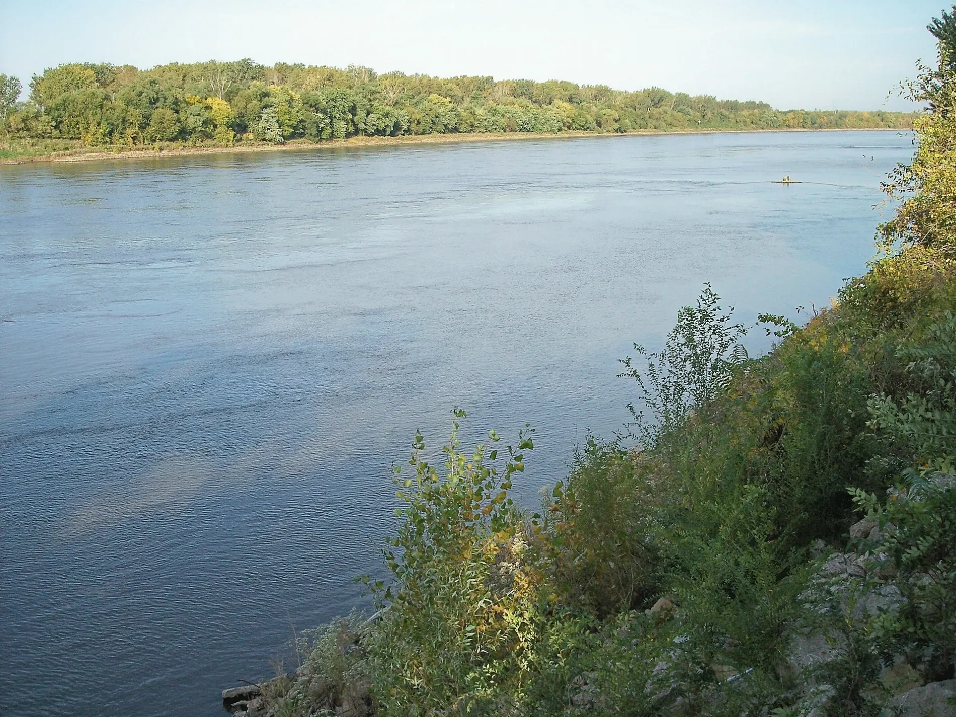
Missouri River in Chamberlain, SD 57325
Missouri River in Chamberlain, SD 57325 (Brule County) is a river. Missouri River is also known as Missouri. Missouri River also exists in Gregory County and Lyman County. Ⓦ.
- Waterway Type
- river
Image
Streets nearby
Purple Heart Memorial Highway0.3 mi
Sioux Drive0.5 mi
Kelly Drive0.5 mi
South Allcott Street0.5 mi
Lyman Drive0.6 mi
South Crawford Street0.6 mi
Buffalo Drive0.6 mi
South Main StreetSouth Dakota Hall of Fame, South Dakota Hall of Fame Gifts, Caribou Coffee, Great Western Bank, Masonic Lodge, The Picket Fence, Anderson's Clothing Store, Oak by Amish Etc, Then and Again, State Theatre and Video, Insire Chiropractic, The Other Side Of The Fence, Anchor Grille
0.6 mi
South Courtland StreetWillrodt Motors Chrysler Dodge Jeep Ram
0.6 mi
West 16th Avenue0.6 mi
Brule Drive0.6 mi
Olson Court0.7 mi
East 15th Avenue0.8 mi
West 13th Avenue0.8 mi
Lakeview HeightsRiverview Inn, Pizza Hut, Super 8, Sinclair
0.8 mi
South Sanborn Street0.8 mi
South River StreetBest Western Lee's Motor Inn
0.8 mi
Terrace Road0.8 mi
West 12th AvenueTrinity Lutheran church
0.8 mi
Summit Drive0.9 mi
West 11th Avenue0.9 mi
East 12th Avenue0.9 mi
East 13th Avenue0.9 mi
Lakeview Street0.9 mi
East 11th Avenue0.9 mi
West 9th Avenue1.0 mi
East 10th Avenue1.0 mi
Shoreline Drive1.0 mi
Park Drive1.0 mi
East SD Highway 161.0 mi
Riverview Avenue1.0 mi
Avenue of Flags1.0 mi
South Merrill Street1.1 mi
East 9th Avenue1.1 mi
Sunridge Drive1.2 mi
Clinics nearby
Avera Community Clinic0.6 mi
Fast food restaurants nearby
Taco John's0.7 mi
Houses nearby
Robert A. Crawford House0.6 mi
Museums nearby
Lewis & Clark Exhibits & Tourist Information1.1 mi
Parks nearby
Avenue of Flags Park1.0 mi
Chamberlain Rest Area1.1 mi
Places of worship nearby
Saint James Parish Center1.1 mi
Police stations nearby
SD Highway Patrol Chamberlain Squad Office1.1 mi
Railways nearby
Ringneck and Western Railroad0.4 mi
Recreation grounds nearby
Pet Exercise Area1.1 mi
Sports fields nearby
Schoenhard Field1.0 mi
Horseshoe Pits1.0 mi
Saukerson Field1.0 mi
Swimming pools nearby
Chamberlain Swimming Pool1.0 mi
| Named after | Missouria |
|---|---|
| Length | 3726 |
| Located in | Montana, North Dakota, South Dakota, Nebraska, Iowa, Missouri, Kansas |
| Country | United States |
| Mouth | Mississippi River |
| Tributary | Little Missouri River, Grand River, Moreau River, Cheyenne River, Bad River, White River, Niobrara River, James River, Vermillion River, Big Sioux River, Platte River, Kansas River, Milk River, Yellowstone River, Osage River, Mosquito Creek, Boyer River, Ponca Creek, Perry Creek, Floyd River, Little Sioux River, Soldier River, Jefferson River, Marias River, Dearborn River, Madison River, Cannonball River, Gallatin River, Roe River, Heart River, Musselshell River, Knife River, Big Muddy Creek, Judith River, Sun River, Chariton River, Arrow Creek, Belt Creek, Blue River, Cow Creek, Crooked River, Cuivre River, Fishing River, Gasconade River, Lamine River, Little Blue River, Little Muddy Creek, Loutre River, Nodaway River, Papillion Creek, Poplar River, Redwater River, Sixteen Mile Creek, Smith River, Tarkio River, Wolf River, Nishnabotna River, Big Dry Creek (Montana), Auxvasse Creek, Big Berger Creek, Perche Creek, Blacksnake Creek, Big Nemaha River, Little Nemaha River, Sacagawea River, Little Chariton River, Sni-A-Bar Creek |
| Native name | Missouri River |
| Described by | Brockhaus and Efron Encyclopedic Dictionary, Small Brockhaus and Efron Encyclopedic Dictionary, Great Soviet Encyclopedia (1926–1947), Encyclopædia Britannica 11th edition, The American Cyclopædia, Collier's New Encyclopedia, 1921, New International Encyclopedia, The New Student's Reference Work, Granat Encyclopedic Dictionary |
 Public transit map Brule County Legend
| Railway | |
| Bus | |
| Streetcar |
 Bicycle map Brule County Legend
| Bike path | |
| Bike lane on roadway | |
| Cycling allowed on bus lane | |
| Bicycle street | |
| Open to cyclists | |
| Open to cyclists, good path | |
| Cycling prohibited | |
| Cobblestone |
| Long-distance bike route | (depending on scale) | |
| Long-distance bike route |
 Pedestrian map Brule County Legend
| Path |
| Long-distance hiking trail | (depending on scale) | |
| Long-distance hiking trail | ||
| Pedestrians prohibited |