
Missouri River in Vermillion Township, South Dakota
Missouri River in Clay County is a river. Missouri River is also known as Missouri. Missouri River also exists in Fairview Township and Norway Township. Ⓦ.
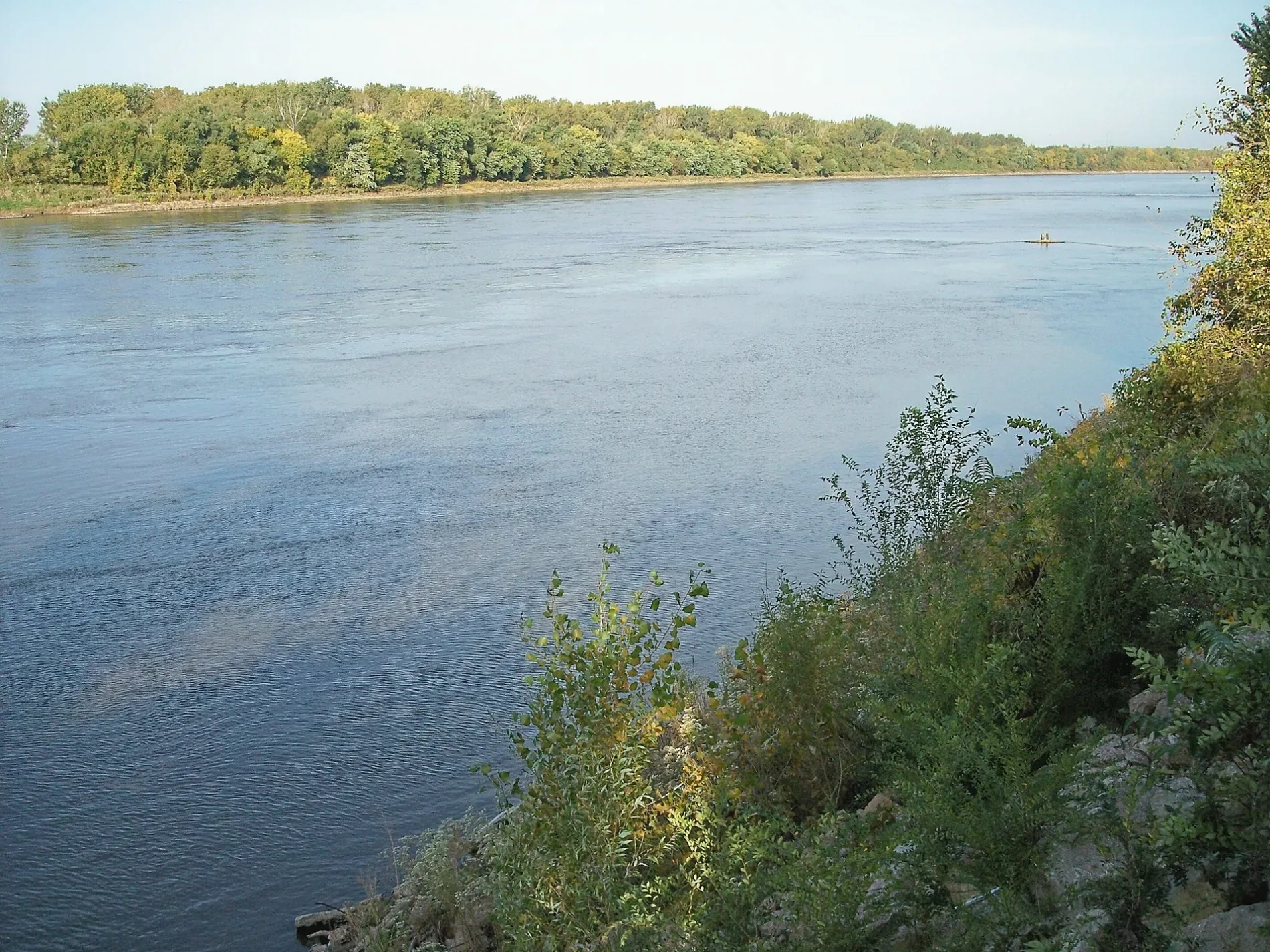
- Waterway Type
- river
Bars
Museums
Electronics stores
Hardware stores
Pet stores
Clothing stores
Restaurants
Social facilities
Banks
Opticians
Post offices
Thrift stores
Auto parts stores
Cafes
Beauty salons
Dentist offices
Art galleries
Police stations
Streets nearby
SD Highway 190.7 mi
579 Avenue1.5 mi
Sorensen Avenue1.8 mi
578 Avenue1.9 mi
East 320th Street2.3 mi
Highway 152.5 mi
888 Road2.5 mi
892 Road2.6 mi
Ponca Place2.9 mi
Oak Street3.0 mi
1st Street3.0 mi
887 Road3.0 mi
Main StreetMaskell, Maskell Post Office
3.0 mi
2nd Street3.0 mi
3rd Street3.1 mi
Walnut Street3.1 mi
4th StreetFaith Lutheran Church
3.2 mi
South Dakota Street3.2 mi
Dawson Road3.3 mi
Green Street3.3 mi
West Broadway Street3.3 mi
Highway 123.3 mi
Amber Street3.3 mi
Market StreetCafé Brulé, Leo's Sports Bar and Grill
3.3 mi
East Chestnut Street3.3 mi
East Broadway Street3.4 mi
West 8th Street3.4 mi
Luxemburg Street3.4 mi
West Street3.4 mi
Canby Street3.4 mi
Park Lane3.4 mi
West Chestnut Street3.4 mi
12th Street3.4 mi
West Bloomingdale Street3.5 mi
West Kidder StreetNygrens True Value Hardware, Vermillion Dental Health, First Dakota National Bank, Old Lumber Company Grill and Bar
3.5 mi
Oak Place3.5 mi
East Bloomingdale Street3.5 mi
Austin StreetAustin-Whittemore House Museum
3.5 mi
Walnut Place3.5 mi
Court StreetR Pizza, Hartford Steakhouse Tavern
3.5 mi
West Main StreetMain Street Pub, The Bean - Community Coffeehouse, Tigert Art Gallery, Amy's Whoopti DO Hair Salon, Murph's Appliances Inc, Never Never Land Children's, Nook 'n Cranny, Willson Florist, CorTrust Bank, Vermillion Vision Clinic, Old Market Street Cafe, Carey's Bar, The Coyote Clipper, Silk Road, Sharing the Dream, Ava Morgan, RED Steakhouse, Dakota Brick House, Massage For Health, Bunyan's, Jensen Auto Body, Steve's Comfort Systems, Senior Citizens Center, Fast Auto Glass
3.6 mi
Buildings nearby
Valiant Vineyards Winery3.6 mi
Parks nearby
Mulberry Bend Overlook1.3 mi
Cotton Park3.1 mi
JC Park3.3 mi
Railways nearby
BNSF Aberdeen Subdivision3.4 mi
Residential areas nearby
Bliss Pointe3.6 mi
Rivers nearby
Vermillion River3.2 mi
Other nearby
Harold Davidson Field2.8 mi
Bluff Historic District3.5 mi
| Named after | Missouria |
|---|---|
| Length | 3726 |
| Located in | Montana, North Dakota, South Dakota, Nebraska, Iowa, Missouri, Kansas |
| Country | United States |
| Mouth | Mississippi River |
| Tributary | Little Missouri River, Grand River, Moreau River, Cheyenne River, Bad River, White River, Niobrara River, James River, Vermillion River, Big Sioux River, Platte River, Kansas River, Milk River, Yellowstone River, Osage River, Mosquito Creek, Boyer River, Ponca Creek, Perry Creek, Floyd River, Little Sioux River, Soldier River, Jefferson River, Marias River, Dearborn River, Madison River, Cannonball River, Gallatin River, Roe River, Heart River, Musselshell River, Knife River, Big Muddy Creek, Judith River, Sun River, Chariton River, Arrow Creek, Belt Creek, Blue River, Cow Creek, Crooked River, Cuivre River, Fishing River, Gasconade River, Lamine River, Little Blue River, Little Muddy Creek, Loutre River, Nodaway River, Papillion Creek, Poplar River, Redwater River, Sixteen Mile Creek, Smith River, Tarkio River, Wolf River, Nishnabotna River, Big Dry Creek (Montana), Auxvasse Creek, Big Berger Creek, Perche Creek, Blacksnake Creek, Big Nemaha River, Little Nemaha River, Sacagawea River, Little Chariton River, Sni-A-Bar Creek |
| Native name | Missouri River |
| Described by | Brockhaus and Efron Encyclopedic Dictionary, Small Brockhaus and Efron Encyclopedic Dictionary, Great Soviet Encyclopedia (1926–1947), Encyclopædia Britannica 11th edition, The American Cyclopædia, Collier's New Encyclopedia, 1921, New International Encyclopedia, The New Student's Reference Work, Granat Encyclopedic Dictionary |
Public transit map Vermillion Township Legend
| Railway | |
| Bus | |
| Streetcar |
Bicycle map Vermillion Township Legend
| Bike path | |
| Bike lane on roadway | |
| Cycling allowed on bus lane | |
| Bicycle street | |
| Open to cyclists | |
| Open to cyclists, good path | |
| Cycling prohibited | |
| Cobblestone |
| Long-distance bike route | (depending on scale) | |
| Long-distance bike route |
Pedestrian map Vermillion Township Legend
| Path |
| Long-distance hiking trail | (depending on scale) | |
| Long-distance hiking trail | ||
| Pedestrians prohibited |