
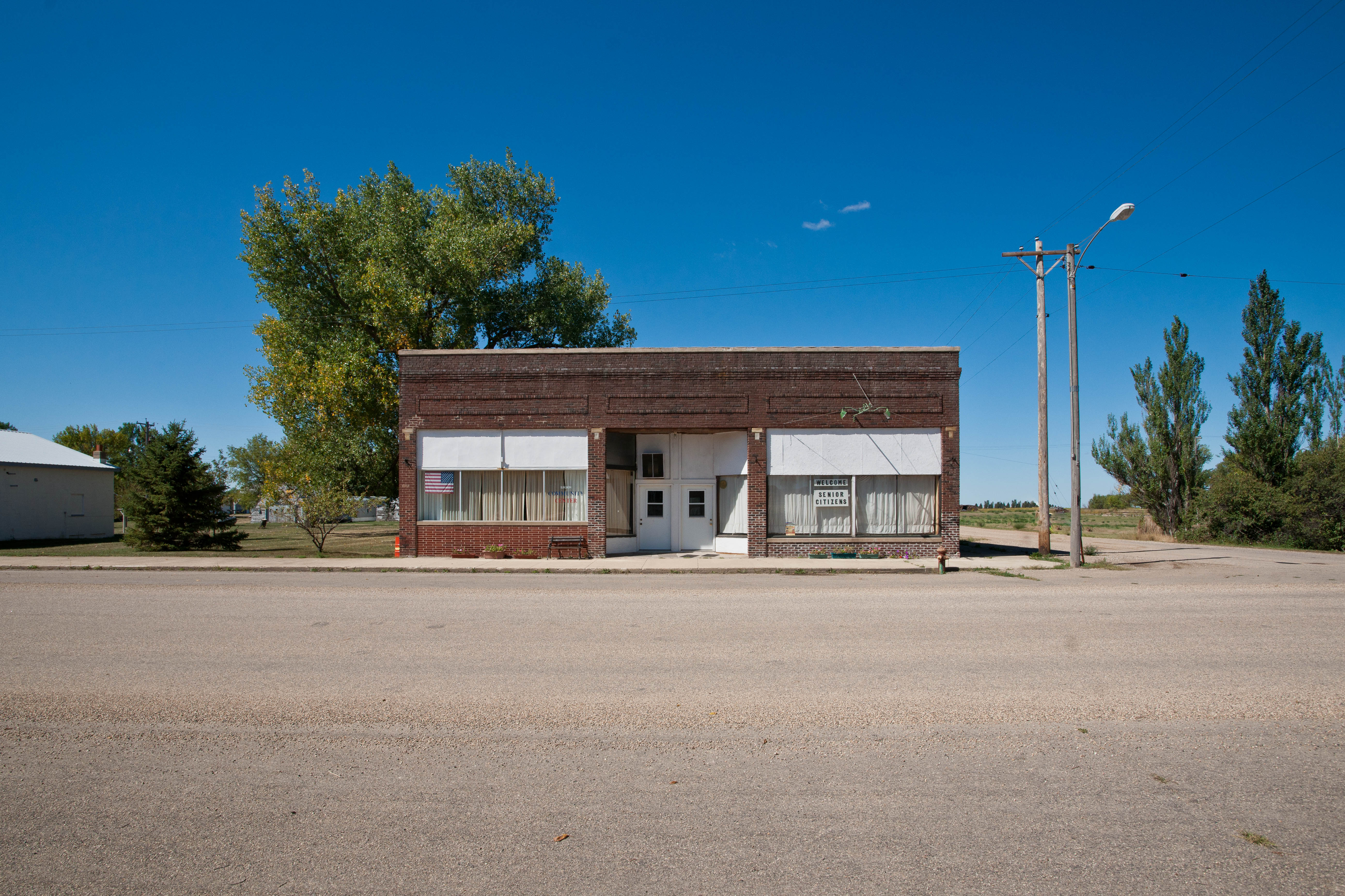
West 1st Avenue in Andover, South Dakota
West 1st Avenue in Andover is an unpaved residential street. It runs in an east-west direction starting from South West Street and crosses South 1st Street, South 2nd Street and South Main Street and ends at East 1st Avenue. West 1st Avenue also exists in Rusk Township.
- Road Type
- residential street
- Route
- east-west
Image
Streets nearby
South 1st Street50 ft
South 2nd Street400 ft
West Railroad Avenue450 ft
South West Street0.1 mi
South Main Street0.1 mi
West 2nd Avenue0.2 mi
East Railroad AvenueAndover
0.2 mi
East 1st Avenue0.2 mi
North Main Street0.2 mi
East 2nd Avenue0.2 mi
South 3rd Street0.2 mi
Cemetery Road0.2 mi
South 4th Street0.3 mi
East 3rd Avenue0.4 mi
415A Avenue0.4 mi
South Pew Street0.5 mi
South Finch Street0.5 mi
414th Avenue1.6 mi
135th Street1.6 mi
138th Street1.8 mi
417th Avenue1.8 mi
136th Street2.1 mi
418th Avenue2.4 mi
137th Street2.5 mi
US Highway 122.7 mi
139th Street2.9 mi
133rd Street3.2 mi
SD Highway 273.4 mi
418A Avenue3.8 mi
140th Street4.1 mi
416th Avenue4.1 mi
413th Avenue4.1 mi
415th Avenue4.3 mi
420th Avenue4.4 mi
132nd Street4.6 mi
134th Street5.2 mi
411th Avenue5.3 mi
421st Avenue5.4 mi
419th Avenue5.6 mi
141st Street5.6 mi
412th Avenue5.7 mi
410th Avenue5.7 mi
420A Avenue5.7 mi
Dams nearby
Pierpont Dam4.7 mi
Amsden Dam5.2 mi
Parks nearby
Amsden Dam Lakeside Use Area4.8 mi
Pierpont Lake Recreation Area5.3 mi
Railways nearby
BNSF Appleton Subdivision5.2 mi
Public transit map Andover Legend
| Railway | |
| Bus | |
| Streetcar |
Bicycle map Andover Legend
| Bike path | |
| Bike lane on roadway | |
| Cycling allowed on bus lane | |
| Bicycle street | |
| Open to cyclists | |
| Open to cyclists, good path | |
| Cycling prohibited | |
| Cobblestone |
| Long-distance bike route | (depending on scale) | |
| Long-distance bike route |
Pedestrian map Andover Legend
| Path |
| Long-distance hiking trail | (depending on scale) | |
| Long-distance hiking trail | ||
| Pedestrians prohibited |