
Cumberland Mountain in Claiborne County, Tennessee
Cumberland Mountain in Claiborne County is a ridge. Cumberland Mountain also exists in Campbell County. Ⓦ.
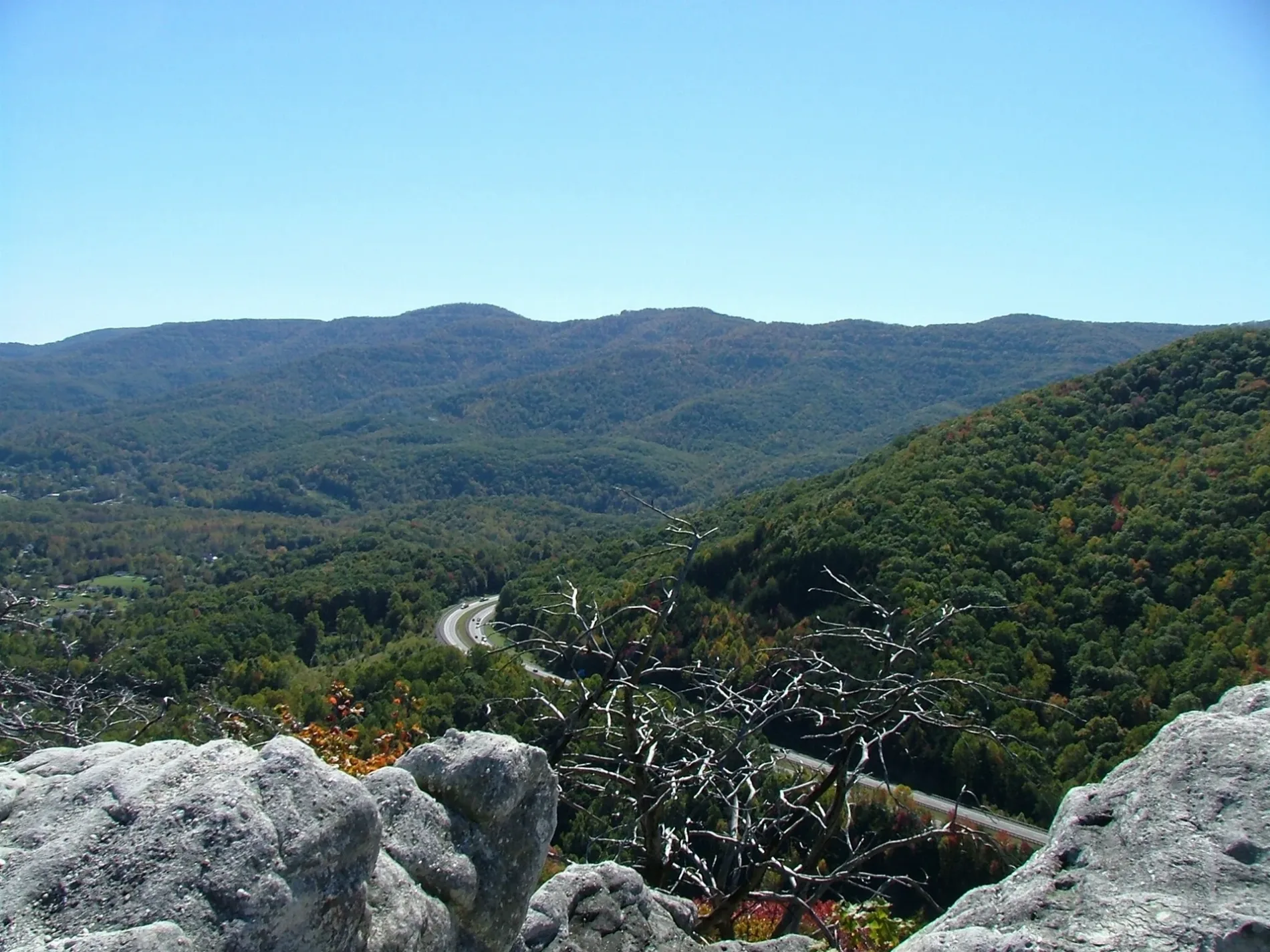
- Nature
- ridge
Streets nearby
Carr Gap Road0.3 mi
Leonard Ellison Lane0.8 mi
Swisher Lane0.9 mi
Moyers Road0.9 mi
Carr Mountain Road1.0 mi
Meadow Acres1.0 mi
Dunn Circle1.1 mi
Brantley Acres1.1 mi
Oriole Lane1.1 mi
Shadow Lane1.1 mi
Peevely Lane1.1 mi
Nelson Road1.2 mi
Watkins Drive1.2 mi
Movers Lane1.2 mi
Hopper Circle1.2 mi
Nelson Lane1.3 mi
Martha Drive1.3 mi
Appalachian Highway1.3 mi
Roger's Hollow1.3 mi
Old State Hwy 63Vanbebber Spring, Haynes Flat Church, Carr Chapel, Powell Valley Elementary School, Speedwell Post Office, Wilson Gap, Speedwell, Speedwell Freewill Baptist Church
1.4 mi
Watson Hollow1.4 mi
Robertson Acres1.6 mi
Watson Lane1.6 mi
Don Jessie Lane1.6 mi
Ausmus Road1.6 mi
B & R Drive1.7 mi
Evay Oakum Road2.0 mi
Overton Dairy Lane2.0 mi
Poston Lane2.1 mi
Poston Road2.1 mi
Hall Lane2.1 mi
School RoadPowell Valley High School
2.2 mi
Owens Hollow2.2 mi
Aaron Davis Lane2.2 mi
Toppy Russell Lane2.3 mi
Sharp RoadMountain View United Methodist Church
2.4 mi
Singleton Road2.4 mi
Powell Valley School Road2.4 mi
Valley Creek RoadRising Spring Church, Valley Creek, Valley Creek Missionary Baptist Church
2.5 mi
Arron Davis Road2.5 mi
| Elevation | 1287 m |
|---|---|
| Located in | Tennessee, West Virginia, Virginia, Kentucky |
| Country | United States |
| Highest point | High Knob |
| Described by | Encyclopædia Britannica 11th edition, The New Student's Reference Work |
Public transit map Claiborne County Legend
| Railway | |
| Bus | |
| Streetcar |
Bicycle map Claiborne County Legend
| Bike path | |
| Bike lane on roadway | |
| Cycling allowed on bus lane | |
| Bicycle street | |
| Open to cyclists | |
| Open to cyclists, good path | |
| Cycling prohibited | |
| Cobblestone |
| Long-distance bike route | (depending on scale) | |
| Long-distance bike route |
Pedestrian map Claiborne County Legend
| Path |
| Long-distance hiking trail | (depending on scale) | |
| Long-distance hiking trail | ||
| Pedestrians prohibited |