
South Church Avenue in Brownsville, Tennessee
South Church Avenue in Brownsville is a two-lane, asphalted residential street. It runs in a South direction starting from North Church Avenue and crosses East Main Street, East Jefferson Street, Margin Street and East Powell Street and ends at New Street. Nearby there is a place of worship. South Church Avenue also exists in Dyer County and Chester County.
- Road Type
- residential street
- Lanes
- 2
- Postal Code
- 38012
- Route
- north-south
Image
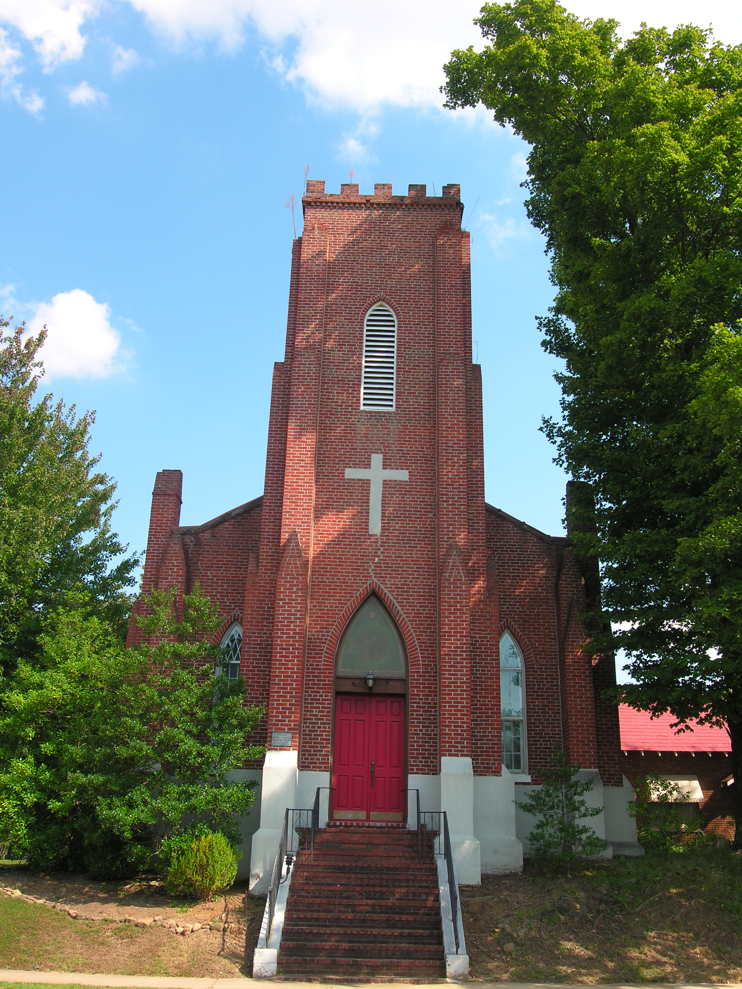
Places of worship
Streets nearby
South Jackson AvenueHaywood County Jail
300 ft
South Bradford AvenueFirst Baptist Church of Brownsville
350 ft
South Washington Avenue0.1 mi
East Powell Street0.1 mi
North Jackson AvenueFirst Methodist Church
0.1 mi
Peachtree Plaza0.1 mi
New Street0.1 mi
North Washington AvenueBrownsville, Christ Episcopal Church, Saint Johns Roman Catholic Church
0.1 mi
East Franklin Street0.2 mi
West Jefferson Street0.2 mi
South Lafayette Avenue0.2 mi
East Main Street0.2 mi
West Main StreetAnderson Grammar School, Billy Tripp's Mindfield
0.2 mi
Court Street South0.2 mi
West Franklin StreetFarmers Chapel Christian Methodist Episcopal Church, Brownsville City Hall, Brownsville Fire Department
0.2 mi
North Lafayette AvenueBrownsville Police Department
0.2 mi
South Wilson Avenue0.2 mi
East College StreetTemple Adas Israel
0.2 mi
Baxter Street0.3 mi
North Church Avenue0.3 mi
Hatchie StreetCalvary Baptist Church
0.3 mi
Carver Avenue0.3 mi
Whitten Street0.3 mi
North Bradford Avenue0.3 mi
Oakhaven Street0.3 mi
South Park Avenue0.3 mi
Rawls Street0.3 mi
Haywood Street0.3 mi
East Jefferson Street0.4 mi
South Bond AvenueTina Turner
0.4 mi
Van Avenue0.4 mi
Warren StreetWalgreens
0.5 mi
Anderson AvenueRegions Drive Thru ATM, DQ Grill & Chill, Marathon, KFC
0.5 mi
Jefferson Court0.6 mi
Cottonwood Drive0.6 mi
Banks nearby
Regions Bank0.5 mi
Buildings nearby
AT&T0.2 mi
Haywood County Chamber of Commerce0.2 mi
Southwest Electric Membership Cooperative Corporate Office0.5 mi
Convenience stores nearby
Brownsville Express0.5 mi
Courthouses nearby
Haywood County Courthouse0.2 mi
Gas stations nearby
Citgo0.5 mi
Places of worship nearby
Church of Christ150 ft
Zion Church0.2 mi
Post offices nearby
Brownsville Post Office0.5 mi
Railways nearby
CSX Memphis Subdivision0.3 mi
Restaurants nearby
El Ranchito Mexican Retaurant0.2 mi
Variety stores nearby
Dollar Tree0.1 mi
Family Dollar0.3 mi
Public transit map Brownsville Legend
| Railway | |
| Bus | |
| Streetcar |
Bicycle map Brownsville Legend
| Bike path | |
| Bike lane on roadway | |
| Cycling allowed on bus lane | |
| Bicycle street | |
| Open to cyclists | |
| Open to cyclists, good path | |
| Cycling prohibited | |
| Cobblestone |
| Long-distance bike route | (depending on scale) | |
| Long-distance bike route |
Pedestrian map Brownsville Legend
| Path |
| Long-distance hiking trail | (depending on scale) | |
| Long-distance hiking trail | ||
| Pedestrians prohibited |