
Dudley Street in Memphis, Tennessee
Dudley Street in Memphis is an asphalted residential street and it runs in a north-south direction starting from Madison Avenue and crosses Monroe Avenue and ends at Union Avenue. Dudley Street also exists in Henry County.
- Road Type
- residential street
- Route
- north-south
Image
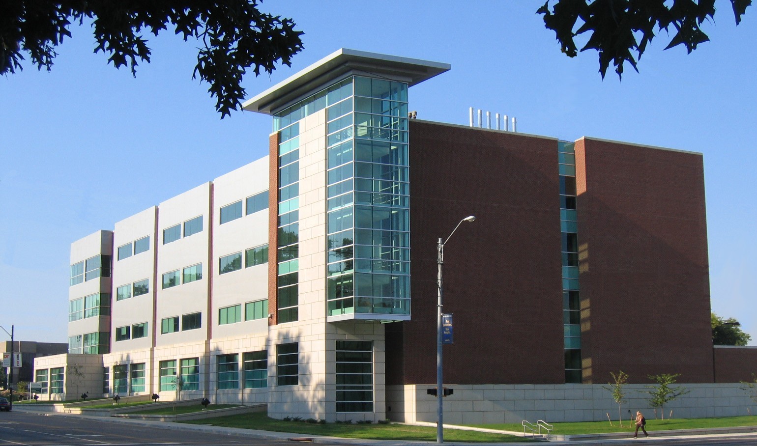
Streets nearby
South Pauline Street450 ft
East Street0.1 mi
Hospital Street0.1 mi
Court AvenueColeman College of Medicine Building, Medical District, Thong Auto Service, Viet Hoa Food Market, Pauline Garage
0.1 mi
Union AvenueDunkin', FedEx Office, The Peabody Lobby Bar, Union Avenue Church of Christ, Hollywood Feed, Union Avenue Baptist Church Child Enrichment Center, Coleman Taylor Transmissions, The Cotton Museum at the Memphis Cotton Exchange, Huey’s, Memphis Theological Seminary, Capriccio Grill, Peabody Corner Bar
0.2 mi
South Camilla Street0.2 mi
North Camilla Street0.2 mi
South Dudley Street0.2 mi
Beale StreetO Lot Patient Parking, Eddie Murphy Star Marker, Sidewalk of Stars at the Orpheum, Pentecostal Temple Church of God in Christ, Beale Street Center for Southern Folklore Sign, Hard Rock Cafe, Explore Bike Share, Jerry Lee Lewis Bar, Wet Willie's Bar, Memphis Police Department Entertainment District Unit, The Eel on Beale (Withers Museum), Dyer's Burgers, Lew's Blue Note Bar and Grill, Alfred's, Kings Palace Cafe, Beale Street Historic District, King's Palace Cafe, Silky O'Sullivan's, Silky O'Sullivans, A. Schwab's Soda Fountain, Memphis Music, Walking Pants Curiosities, Blues City General Store
0.2 mi
Adams AvenueSandra's Sundries, Memphis Skill Center, Woodruff-Fontaine House, Mollie Fontaine, Explore Bike Share, Magevney House
0.2 mi
Eastmoreland AvenueOutpatient Pharmacy
0.2 mi
South Dunlap Street0.3 mi
North Pauline StreetDixie Homes
0.3 mi
Walnut Street0.3 mi
South Manassas Street0.3 mi
Jefferson AvenueSunrise, Memphis Fire Department, University of Tennessee College of Social Work, Memphis Oral School For The Deaf
0.4 mi
Poplar AvenueShelby County Jail, Healing Hearts Ministries, Panda Express, Smoothie King, Kay Jewelers, Aulon, Second Presbyterian Church, Presbyterian Day School, Barbara K Lipman Early Childhood School and Research Institute, Nothing Bundt Cakes, Starbucks, Belly Acres, Zenith Health and Aesthetics, Dodo Pizza, Special Nails, Tekne, Eyes for you, Eastgate Cleaners, Pimento's Burgers, Bar & Grill, Chipotle, Bank of America, White Station, Calvary Street Ministry, Passport Health Memphis Travel Clinic, McDonald's, Chickasaw Express, Seize the Clay, Osaka Fusion Bistro, Buffalo Wild Wings, Party City, Petco, Spin Street Music, Old Navy, Fellowship Bible Church of Memphis, Cricket Wireless, Devon Self Storage, Walgreens, Ramblin' Joe's Coffee, Eudora Baptist Church, Schlotzsky's, Swanky's Taco Shop, Einstein Bros. Bagels, Sprouts Farmers Market, Soul Fish Cafe, Hollywood Feed, Jimmy John's, Jiffy Lube, Casablanca, BP, Satellite Healthcare Poplar Avenue, Enterprise, Pho Saigon, Extra Space Storage, Jack Pirtle's Chicken, Captain JJ Fish & Chicken, El Torro Loco, Midtown Taekwondo, T-Mobile, Subway
0.4 mi
North Dunlap StreetApostolic Fellowship Church of Christ, Jerusalem Church of God in Christ, Van Vleet Memorial Cancer Center, Children's Foundation Research Institute
0.4 mi
North Manassas StreetCommunity Baptist Church, Explore Bike Share, True Church House of Prayer, Gospel Temple Baptist Church
0.4 mi
Ashland StreetLogos Baptist Church
0.5 mi
Washington AvenueShelby County Juvenile Court, Thong's Auto Repair
0.5 mi
Buildings nearby
Fourt Pharmacy Reasearch Building0.1 mi
Apartment buildings nearby
Blair Tower0.4 mi
Buildings nearby
Alexander Building0.1 mi
Regional One Health Outpatient Clinic0.1 mi
Regional One Health Extended Care Hospital0.2 mi
Beale Building0.3 mi
Jefferson Square Apartments0.4 mi
Adams Place - North Tower0.5 mi
Adams Place - South Tower0.5 mi
Commercial buildings nearby
Tennessee Blood Services0.4 mi
Dentist's offices nearby
Dunn Dental Building0.2 mi
Drugstores nearby
Walgreens0.2 mi
Fast food restaurants nearby
Arby's0.1 mi
McDonald's0.1 mi
Church's Chicken0.4 mi
Gas stations nearby
Valero0.5 mi
Libraries nearby
Baptist Health Topic Library0.1 mi
Motels nearby
Motel 6 Memphis Downtown0.2 mi
Parks nearby
Health Sciences Park0.2 mi
University buildings nearby
Nash Reasearch Building0.1 mi
Wittenborg Anatomy Building0.1 mi
Mooney Building0.1 mi
Link Building0.2 mi
Crowe Research Building0.2 mi
Johnson Building0.2 mi
Hyman Administration Building0.2 mi
Randolph Hall0.3 mi
Other nearby
Le Bonheur Children's Hospital Heliport0.4 mi
Public transit map Memphis Legend
| Railway | |
| Bus | |
| Streetcar |
Bicycle map Memphis Legend
| Bike path | |
| Bike lane on roadway | |
| Cycling allowed on bus lane | |
| Bicycle street | |
| Open to cyclists | |
| Open to cyclists, good path | |
| Cycling prohibited | |
| Cobblestone |
| Long-distance bike route | (depending on scale) | |
| Long-distance bike route |
Pedestrian map Memphis Legend
| Path |
| Long-distance hiking trail | (depending on scale) | |
| Long-distance hiking trail | ||
| Pedestrians prohibited |