
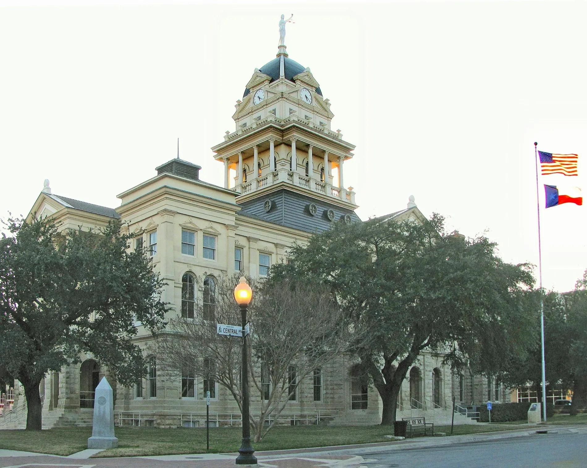
South East Street in Belton, Texas
South East Street in Belton is a two-lane, asphalted residential street. It runs in a north-south direction starting from North East Street and crosses East Central Avenue and Water Street. It ends in a cul-de-sac. Nearby you can find 3 restaurants. South East Street also exists in Travis County, Grayson County, Gray County, Uvalde County and Baylor County.
- Road Type
- residential street
- Lanes
- 2
- Speed Limit
- 30 mph
- Route
- north-south
Image
Restaurants
Streets nearby
North Main StreetBell County Museum
0.1 mi
North East Street0.1 mi
Water Street0.1 mi
West Central Avenue0.1 mi
West 1st Avenue0.1 mi
South Davis Street0.2 mi
East Avenue C0.2 mi
West Avenue C0.2 mi
North Wall StreetLutheran Church Prince of Peace
0.2 mi
North Penelope Street0.2 mi
South Penelope StreetCochran Blair and Potts
0.3 mi
East Avenue E0.3 mi
East Avenue D0.3 mi
West Avenue E0.3 mi
South Pearl StreetMagnolia First Baptist Church
0.3 mi
East Central Avenue0.3 mi
North Walker Street0.3 mi
South Beal Street0.3 mi
South Main StreetBelton
0.3 mi
Avenue F0.3 mi
South Wall StreetFirst Mexican Baptist Church
0.3 mi
South Birdwell Street0.4 mi
East 1st AvenueLena Armstrong Public Library
0.4 mi
Spring Street0.4 mi
Veterans WayBelton Park & Ride
0.4 mi
Purple Heart Trail0.4 mi
General W H Walker Expressway0.4 mi
South I-35 Frontage RoadPit Stop Barbeque, Sunbelt RV Center
0.4 mi
Shops nearby
Belton Feed & Supply0.2 mi
Auto parts stores nearby
O'Reilly Auto Parts0.3 mi
Banks nearby
PNC Bank0.1 mi
Buildings nearby
Tax Appraisal District of Bell County0.2 mi
Bold Republic Brewing Company0.2 mi
Belton Chrisitian Youth Center0.3 mi
Tapestry Community Church0.3 mi
Texian Insurance Agency0.3 mi
Cemeteries nearby
South Belton Cemetery0.3 mi
Convenience stores nearby
L C Sarah Mart0.3 mi
Courthouses nearby
Bell County Courthouse350 ft
Fire stations nearby
Belton Fire Department350 ft
Gas stations nearby
Valero0.3 mi
Parks nearby
Liberty Park0.3 mi
Post offices nearby
United States Post Office0.2 mi
Restaurants nearby
Miller's Smokehouse0.1 mi
Jaliscos Mexican Restaurant0.2 mi
Retail buildings nearby
Texas Tour Gear0.3 mi
Tire dealers nearby
Quality Tire & Auto Service0.3 mi
Tobacco shops nearby
Creekside Cigar Lounge0.3 mi
Town halls nearby
Belton City Hall0.1 mi
Public transit map Belton Legend
| Railway | |
| Bus | |
| Streetcar |
Bicycle map Belton Legend
| Bike path | |
| Bike lane on roadway | |
| Cycling allowed on bus lane | |
| Bicycle street | |
| Open to cyclists | |
| Open to cyclists, good path | |
| Cycling prohibited | |
| Cobblestone |
| Long-distance bike route | (depending on scale) | |
| Long-distance bike route |
Pedestrian map Belton Legend
| Path |
| Long-distance hiking trail | (depending on scale) | |
| Long-distance hiking trail | ||
| Pedestrians prohibited |