
23rd Street in Temple, Texas
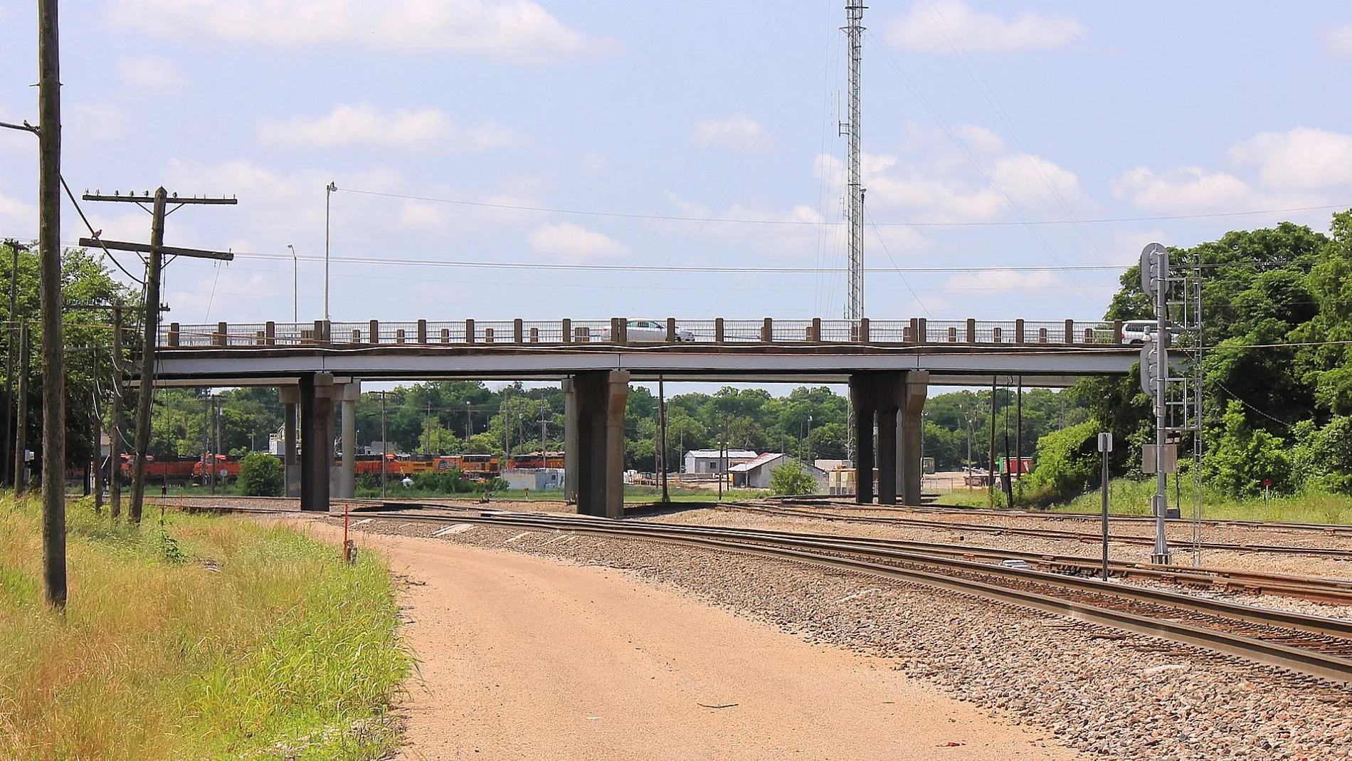
23rd Street in Temple is an asphalted residential street. It runs in a north-south direction starting from West Houston Avenue and crosses Stadium Road and West Calhoun Avenue and ends at North 23rd Street. 23rd Street also exists in Galveston County, Medina County, Frio County, Randall County and Lubbock County.
- Road Type
- residential street
- Route
- north-south
Image
Restaurants
Artworks
Bus stops
Clinics
Libraries
Fountains
Places of worship
Gas stations
Fast food restaurants
Museums
- Czech Heritage Museum (opening hours: Thu–Sat 10–16, fee required, Web) at West French Avenue 119 (76502) – approx. 0.6 mi.
Stations
Schools
Pharmacies
Auto parts stores
Motorcycle shops
Community centers
Tourist information centers
Streets nearby
West French AvenueCzech Heritage Museum
300 ft
West Houston Avenue0.2 mi
North 21st Street0.2 mi
West Calhoun Avenue0.2 mi
Stadium Road0.2 mi
North 17th Street0.3 mi
North 19th Street0.3 mi
North 31st StreetFirst Lutheran Church, Shipley Do-Nuts, Temple Wildcat
0.3 mi
North 23rd StreetNew Covenant Baptist Church
0.3 mi
North 15th Street0.3 mi
West Jackson Avenue0.3 mi
West Barton AvenueH-E-B Pharmacy
0.4 mi
North 27th Street0.4 mi
Bray Street0.4 mi
North 11th StreetVandiver School, The Hop, Jefferson Elementary School, Baylor Scott & White Pharmacy
0.4 mi
West Garfield Avenue0.4 mi
Matthew Wilson (Mr. Stop) Way0.4 mi
West Adams AvenueTemple Transfer Station (Bus), Darling Decor & More, Temple, Temple Christian Center, McDonald's, Starbucks, Venice Spa & Nails, GrabbaGreen food + juice, Supercuts, AT&T, PenFed Credit Union, La Roma Pizza & Subs, Fuzzy's Taco Shop, Dunkin', Jersey Mike's Subs, Baskin-Robbins, Inkaholiks Tattoos, Knox Pianos, Exxon, Pool of Tears Veterans Memorial, Temple Public Library, Bahama Bucks Shaved Ice, O'Reilly Auto Parts, Texaco
0.4 mi
West Downs Avenue0.4 mi
Jack White StreetPizza Hut
0.4 mi
North 9th Street0.4 mi
North 25th Street0.4 mi
Calhoun Avenue0.5 mi
Purple Heart Trail0.5 mi
West Munroe Avenue0.5 mi
North General Bruce DriveTexas Roadhouse, Wendy's, Berger, Harley-Davidson, Texaco, Lucky's Truck Stop, Lonestar Truck Group
0.5 mi
West Nugent Avenue0.6 mi
Car washes nearby
H-E-B Car Wash0.4 mi
Convenience stores nearby
Nugent Food Mart0.6 mi
Fast food restaurants nearby
Taco Bell0.5 mi
Jimmy John's0.5 mi
Gas stations nearby
H-E-B Fuel0.4 mi
Exxon0.6 mi
Hotels nearby
La Quinta Inn Temple0.4 mi
Best Western Temple Inn & Suites0.5 mi
Days Inn by Wyndham Temple0.6 mi
Motels nearby
Americas Best Value Inn0.4 mi
Econo Lodge Temple0.5 mi
Motel 6 Temple, TX0.5 mi
American Inn0.6 mi
Super 80.6 mi
Parks nearby
Woodson Field0.3 mi
Optimist Park0.6 mi
Railways nearby
Carter Spur0.2 mi
BNSF Fort Worth Subdivision0.3 mi
Rivers nearby
Jackson Creek0.4 mi
Sports fields nearby
Hallford Baseball Field0.2 mi
Stadiums nearby
Wildcat Stadium0.3 mi
Supermarkets nearby
H-E-B0.3 mi
 Public transit map Temple Legend
| Railway | |
| Bus | |
| Streetcar |
 Bicycle map Temple Legend
| Bike path | |
| Bike lane on roadway | |
| Cycling allowed on bus lane | |
| Bicycle street | |
| Open to cyclists | |
| Open to cyclists, good path | |
| Cycling prohibited | |
| Cobblestone |
| Long-distance bike route | (depending on scale) | |
| Long-distance bike route |
 Pedestrian map Temple Legend
| Path |
| Long-distance hiking trail | (depending on scale) | |
| Long-distance hiking trail | ||
| Pedestrians prohibited |