
West 6th Street in Texarkana, Texas
West 6th Street in Texarkana is a two-lane residential street. It runs in a northeast-southwest direction starting from Elm Street and crosses Oak Street, Spruce Street, Texas Boulevard, Main Street, Pine Street and Olive Street and ends at North State Line Avenue. West 6th Street also exists in Travis County, Harris County, Galveston County, Brazoria County and Fannin County.
- Road Type
- residential street
- Lanes
- 2
- Route
- northeast-southwest
Places of worship
Schools
Bike shops
Fast food restaurants
Streets nearby
West 5th StreetBethany Baptist Church
500 ft
Pine StreetFirst Baptist Church Downtown, Pine Street Middle School
0.1 mi
West 7th StreetSubway
0.1 mi
West Martin Luther King Junior Boulevard0.2 mi
Main StreetThe Stained Page, Café Lucille
0.2 mi
Oak Street0.2 mi
West 9th Street0.2 mi
East 3rd Street0.2 mi
Olive Street0.3 mi
North State Line AvenueTaco Bell
0.3 mi
West Broad Street0.3 mi
Texas BoulevardWalgreens, Berridge Bikes, Spring Lake Baptist Church
0.3 mi
Elm Street0.3 mi
Spruce StreetHolly Chapel
0.4 mi
West 4th Street0.4 mi
West 3rd Street0.4 mi
Amenities nearby
TFCI Learning Center0.2 mi
Amusement parks nearby
Ace of Clubs House Museum0.2 mi
Arts centers nearby
Regional Arts Center0.2 mi
Auto parts stores nearby
MSF Offroad and Performance500 ft
Auto repair shops nearby
Anderson Automotive0.2 mi
Frank's Paint & Body Shop0.2 mi
Texas Big0.3 mi
Banks nearby
Morris Sheppard Credit Union0.2 mi
Buildings nearby
Matthew Golden Law Firm, PLLC0.1 mi
Boulder Designs by Brown Landscaping0.2 mi
Hotel Grim0.2 mi
American Red Cross0.2 mi
Texarkana Sign & Signal Department0.3 mi
Car dealerships nearby
Cal Williams Motor Company300 ft
Car rentals nearby
Enterprise0.2 mi
Computer stores nearby
Computer Link0.2 mi
Fire stations nearby
Texarkana Central Fire Station0.3 mi
Libraries nearby
Texarkana Public Library0.3 mi
Museums nearby
Museum of Regional History0.2 mi
Paint stores nearby
Finishmaster250 ft
Parks nearby
WWI Memorial0.2 mi
Lee Park0.3 mi
Kidtopia Park0.4 mi
Places of worship nearby
Church of Christ on Pine Street0.1 mi
Saint James Episcopal Church0.2 mi
Restaurants nearby
Blue Water Bayou Wing Masters0.1 mi
B&J's Downtown Diner0.2 mi
Single-family houses nearby
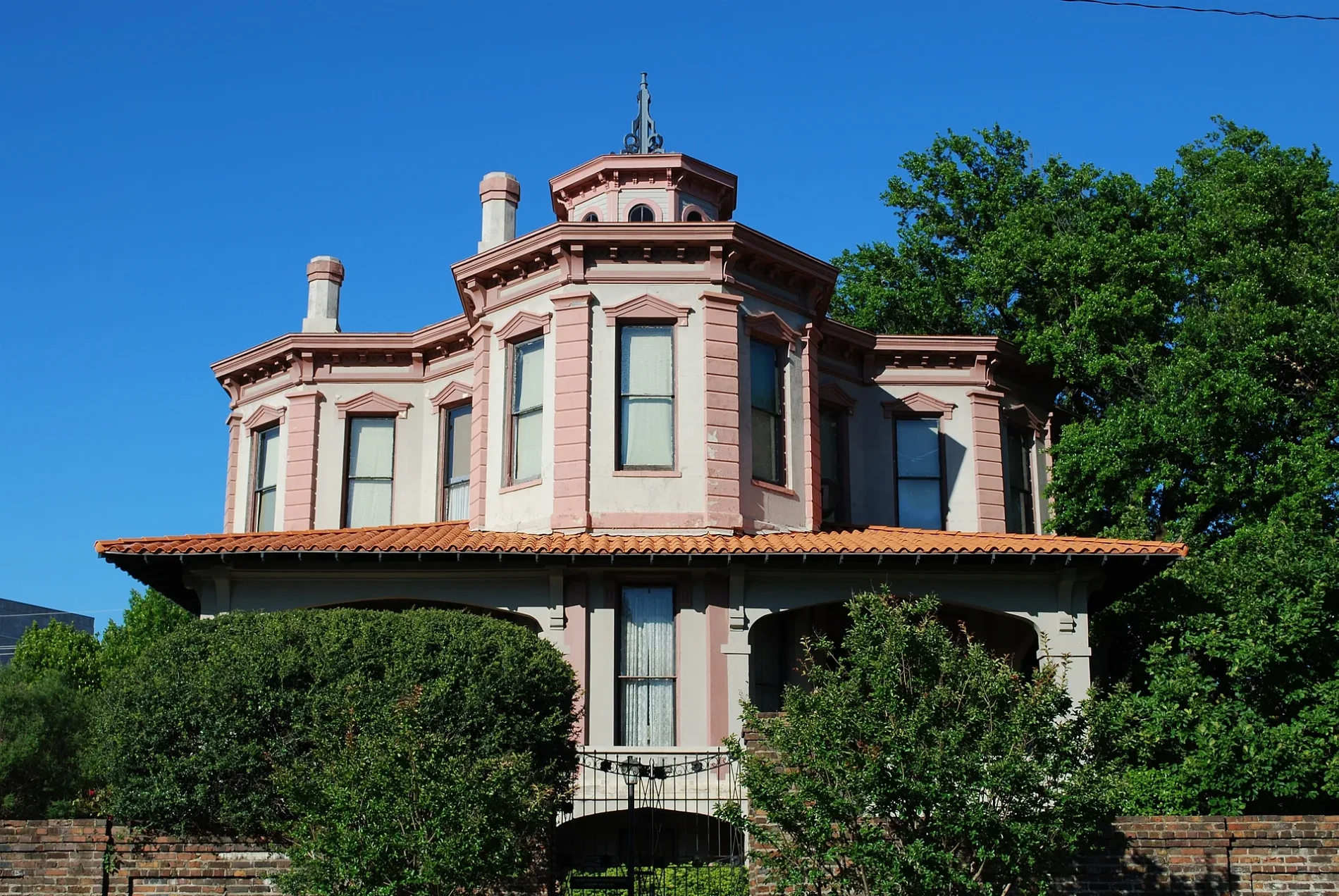
Draughn-Moore House0.1 mi
Social facilities nearby
Randy Sams' Outreach Shelter0.2 mi
Specialty stores nearby
Winston Water Cooler0.1 mi
Sports fields nearby
Skatetopia0.4 mi
Streams nearby
Swampoodle Creek0.4 mi
Theaters nearby
Perot Theater0.2 mi
 Public transit map Texarkana Legend
| Railway | |
| Bus | |
| Streetcar |
 Bicycle map Texarkana Legend
| Bike path | |
| Bike lane on roadway | |
| Cycling allowed on bus lane | |
| Bicycle street | |
| Open to cyclists | |
| Open to cyclists, good path | |
| Cycling prohibited | |
| Cobblestone |
| Long-distance bike route | (depending on scale) | |
| Long-distance bike route |
 Pedestrian map Texarkana Legend
| Path |
| Long-distance hiking trail | (depending on scale) | |
| Long-distance hiking trail | ||
| Pedestrians prohibited |