
Green Valley Drive in Bryan, Texas
Green Valley Drive in Bryan is an asphalted local road. The street has no sidewalks. It runs in a southeast-northwest direction starting from Briarcrest Drive and crosses Creekridge Street, Meadowbrook Drive, Willow Oak Street, Ravenwood Drive and Woodbriar Drive and ends at Woodcrest Drive. Green Valley Drive also exists in Harris County, Fort Bend County, Val Verde County, Bell County and Tarrant County.
- Road Type
- local road
- Lanes
- 30
- Postal Code
- 77802
- Route
- southeast-northwest
Image
Gas stations
Clothing stores
Variety stores
Bakeries
Hair salons
Fast food restaurants
Cafes
Pubs
Museums
- Children's Museum of Brazos Valley (Web) at East 29th Street 4001 (77802) – approx. 1.6 mi.
Pharmacies
Restaurants
Bus stops
Places of worship
Supermarkets
Streets nearby
Creekridge Street350 ft
Towne Centre WayStarbucks
0.2 mi
Oak Cliff Circle0.3 mi
Willow Oak Street0.3 mi
Legacy Court0.3 mi
Shawnee Circle0.3 mi
Cedar Oak Circle0.3 mi
Broad Oak Circle0.4 mi
Briarcrest DriveChick-fil-A, Murphy USA, Pizza Hut, Sonic, Panda Express, Raising Cane's Chicken Fingers
0.4 mi
Tuscany Court0.4 mi
Cedar Hill Drive0.4 mi
Meadowwood Drive0.4 mi
Woodbriar Drive0.4 mi
Oak Valley Circle0.4 mi
Miramont Boulevard0.4 mi
Boonville RoadBoonville, The Angry Elephant, Little Caesars
0.4 mi
Wildlife Circle0.4 mi
Red Robin Loop0.4 mi
Serrano Court0.5 mi
Prairie Flower Circle0.5 mi
Sandpiper Circle0.5 mi
Highpoint Drive0.5 mi
North Earl Rudder Freeway Frontage RoadImperial Chinese and Sushi, First Financial Bank, Express Mart
0.5 mi
North Earl Rudder Freeway0.6 mi
Overcrest Drive0.6 mi
Oak Forest Drive0.6 mi
Candlelight Village0.6 mi
Hillpoint Drive0.6 mi
Wildflower DriveShell, Cake Me Away Bakery, Living Way Reformed Presbyterian Church
0.6 mi
Pecan Knoll Street0.6 mi
Mohawk Street0.6 mi
Wood Oaks Drive0.7 mi
Shops nearby
AAA Overhead Door0.7 mi
Auto repair shops nearby
Jiffy Lube0.5 mi
Car dealerships nearby
Douglass Mazda0.5 mi
Convenience stores nearby
Stripes0.5 mi
Department stores nearby
Target0.3 mi
Fast food restaurants nearby
McDonald's0.6 mi
Fire stations nearby
Bryan Fire Department Station 30.3 mi
Furniture stores nearby
BoxDrop B/CS0.7 mi
Hotels nearby
Hyatt House Bryan / College Station0.4 mi
Museums nearby
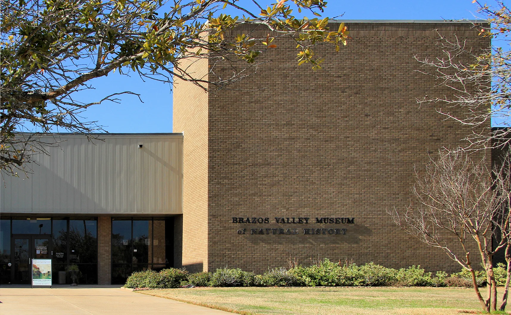
Bravos Valley Museum of Natural History0.2 mi
Places of worship nearby
New Liberty Missionary Baptist Church0.5 mi
Restaurants nearby
Cracker Barrel0.5 mi
Retail areas nearby
Towne Centre0.4 mi
Sheds nearby
Adam Maintenance0.4 mi
Streams nearby
Briar Creek0.4 mi
Tire dealers nearby
Discount Tire0.5 mi
Variety stores nearby
Dollar General0.6 mi
 Public transit map Bryan Legend
| Railway | |
| Bus | |
| Streetcar |
 Bicycle map Bryan Legend
| Bike path | |
| Bike lane on roadway | |
| Cycling allowed on bus lane | |
| Bicycle street | |
| Open to cyclists | |
| Open to cyclists, good path | |
| Cycling prohibited | |
| Cobblestone |
| Long-distance bike route | (depending on scale) | |
| Long-distance bike route |
 Pedestrian map Bryan Legend
| Path |
| Long-distance hiking trail | (depending on scale) | |
| Long-distance hiking trail | ||
| Pedestrians prohibited |