
North Preston Avenue in Bryan, Texas
North Preston Avenue in Bryan is a residential street. It runs in a north-south direction starting from North Polk Avenue and crosses Military Drive, East 18th Street, East Martin Luther King Junior Street, East Pruitt Street, East 21st Street, East 22nd Street, East 23rd Street, East 24th Street, East William J Bryan Parkway and East 26th Street and ends at South Preston Avenue. Nearby there is a school.
- Road Type
- residential street
- Postal Code
- 77803
- Route
- north-south
Image
Schools
Streets nearby
North Houston Avenue350 ft
Pierce Street0.1 mi
East Pruitt Street0.2 mi
Henderson Street0.2 mi
East 24th Street0.2 mi
Robertson Street0.2 mi
East Martin Luther King Junior Street0.2 mi
Texas Avenue North0.2 mi
North Washington Avenue0.2 mi
East 21st Street0.2 mi
North Polk Avenue0.2 mi
East 18th Street0.2 mi
Brogdon Street0.3 mi
East 26th Street0.3 mi
East 22nd StreetTavo Coffee Co
0.3 mi
Orlean Street0.3 mi
South Preston Avenue0.3 mi
East William J Bryan ParkwayHaswell Pond and Fountain, Haswell Park Picnic #2, Haswell Park Picnic #3, Haswell Park Picnic #4, Bryan
0.3 mi
Military Drive0.3 mi
Dansby Street0.3 mi
East 27th Street0.3 mi
Texas Avenue SouthOMG Seafood, Zand's Persian Kebabs, Carter's Burgers, Zan's Persian Kebabs, Hometown Chinese Restaurant, What's The Buzz, Yesterdays Bar & Grill
0.3 mi
Ursuline Avenue0.3 mi
North Baker Avenue0.3 mi
South Polk Avenue0.4 mi
Travis Street0.4 mi
Antone Street0.4 mi
East 23rd Street0.4 mi
Chadley Circle0.4 mi
North Hutchins Street0.4 mi
Banks Avenue0.4 mi
Crenshaw Street0.5 mi
East 25th StreetBlinn College
0.5 mi
Bars nearby
The 1010.3 mi
Buildings nearby
Moore House0.2 mi
Brazos County Health Department0.2 mi
Saint Joseph Administrative Building0.3 mi
Rick Davis & Associates0.3 mi
Courthouses nearby
Brazos County Courthouse0.3 mi
Fast food restaurants nearby
Church's Chicken0.1 mi
DQ Grill & Chill0.2 mi
Gas stations nearby
Shell0.2 mi
Museums nearby
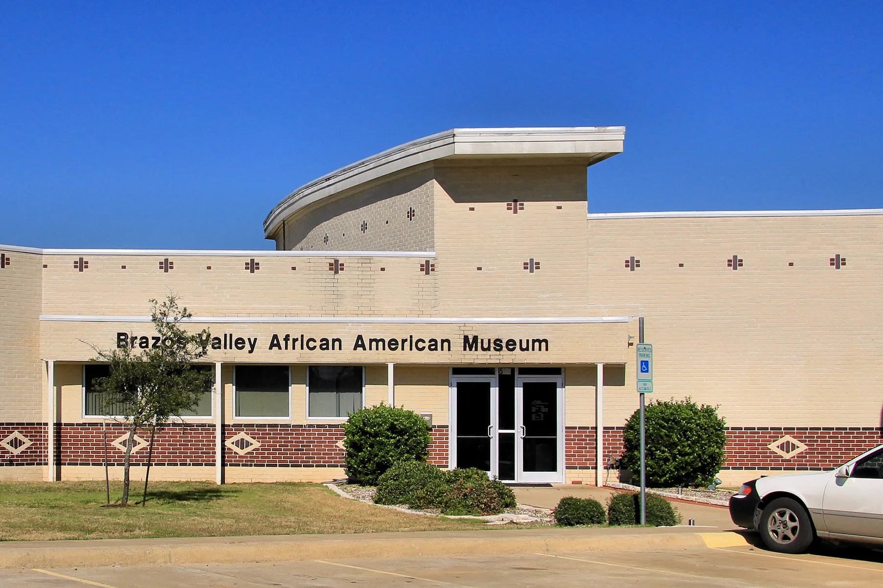
Brazos Valley African American Museum0.1 mi
Pawn shops nearby
Cash America Pawn0.1 mi
Places of worship nearby
Allen Chapel AME Church250 ft
Cross Central Church0.1 mi
Shiloh Baptist Church0.2 mi
Saint Joseph Catholic Church0.3 mi
Restaurants nearby
Hot Dogs Etc.0.2 mi
 Public transit map Bryan Legend
| Railway | |
| Bus | |
| Streetcar |
 Bicycle map Bryan Legend
| Bike path | |
| Bike lane on roadway | |
| Cycling allowed on bus lane | |
| Bicycle street | |
| Open to cyclists | |
| Open to cyclists, good path | |
| Cycling prohibited | |
| Cobblestone |
| Long-distance bike route | (depending on scale) | |
| Long-distance bike route |
 Pedestrian map Bryan Legend
| Path |
| Long-distance hiking trail | (depending on scale) | |
| Long-distance hiking trail | ||
| Pedestrians prohibited |