
Lubbock Street in College Station, Texas
Lubbock Street in College Station is an asphalted unclassified road. The street has bike paths (bike protection lane). It runs in a northeast-southwest direction starting from Bizzell Street and crosses Spence Street and Nagle Street and ends at Coke Street. Nearby there is among others a fast food restaurant. The nearest stop is Commons. The bus lines 01, 01-04 and 07 serve this stop. Lubbock Street also exists in Harris County, Oldham County, Nolan County, Young County and Bowie County.
- Road Type
- unclassified road
- Route
- northeast-southwest
Image
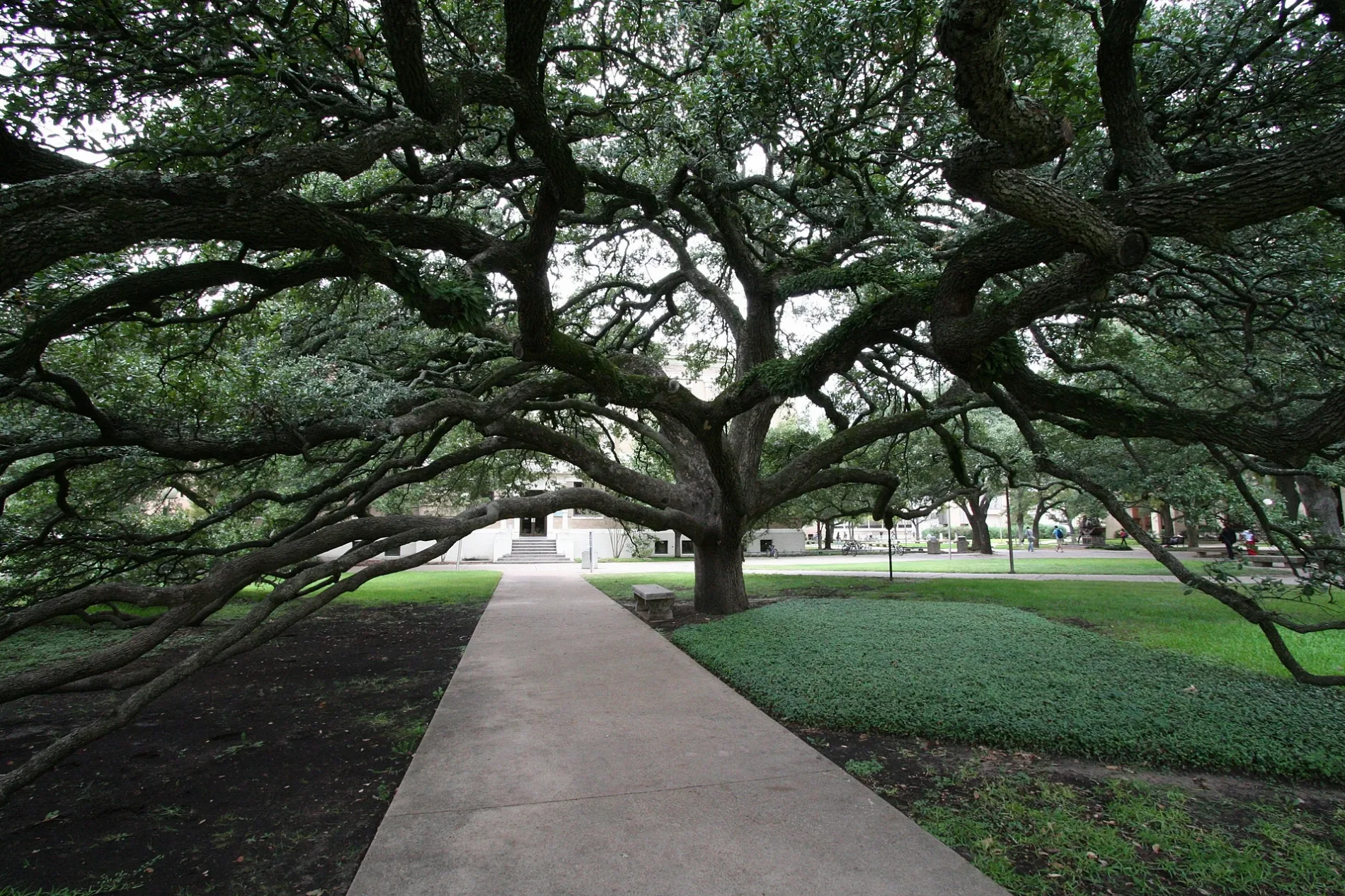
Streets nearby
Nagle StreetHoly Roastary Coffee Bar, ED-C Catholic Radio
200 ft
Lamar StreetMSC
350 ft
Coke StreetStarbucks
450 ft
Joe Routt BoulevardHotel/Joe Routt, MSC Forsyth Galleries, Barnes & Noble, Rev's American Grill
0.1 mi
Short Street0.2 mi
Throckmorton StreetRudder Theater
0.2 mi
Amenities nearby
Hart Residence Hall0.2 mi
Dormitories nearby
Spence Hall - Dorm 1300 ft
Kiest Hall - Dorm 2500 ft
Fountain Hall - Dorm 40.1 mi
Briggs Hall - Dorm 30.1 mi
Gainer Hall - Dorm 50.1 mi
Lacy Hall - Dorm 60.2 mi
Leonard Hall - Dorm 70.2 mi
White Hall - Dorm 100.2 mi
Harrell Hall- Dorm 80.2 mi
Whitely Hall - Dorm 90.2 mi
Harrington Hall - Dorm 110.2 mi
Utay Hall - Dorm 120.2 mi
Grasslands nearby
Haney Drill Field0.2 mi
Ice cream shops nearby
Moore Family Creamery0.3 mi
Parking lots nearby
University Center Garage0.2 mi
Parks nearby
Spence Park0.2 mi
Aggie Park0.3 mi
Residential buildings nearby
Underwood Residence Hall0.2 mi
Appelt Residence Hall0.2 mi
Wells Residence Hall0.2 mi
Eppright Residence Hall0.2 mi
University buildings nearby
Engineering Activities Building C150 ft
Heldenfels Hall200 ft
Peterson Building350 ft
Engineering Activities Building B350 ft
Butler Hall400 ft
Student Computing Center400 ft
Plank Leadership Learning Center500 ft
Ash II Leadership Learning Center500 ft
Engineering Activities Building A500 ft
Supplemental Utility Plant 3550 ft
Military Sciences Building0.1 mi
Psychology Building0.1 mi
Commons0.1 mi
HEEP Laboratory Building0.1 mi
The Hub - Bicycle Maintenance Shack0.1 mi
Rudder Theatre Complex0.1 mi
Sanders Corps of Cadets Center0.2 mi
Rudder Tower0.2 mi
Duncan Dining Hall0.3 mi
Koldus Building0.3 mi
Other nearby
Rudder Plaza0.2 mi
Public transit map College Station Legend
| Railway | |
| Bus | |
| Streetcar |
Bicycle map College Station Legend
| Bike path | |
| Bike lane on roadway | |
| Cycling allowed on bus lane | |
| Bicycle street | |
| Open to cyclists | |
| Open to cyclists, good path | |
| Cycling prohibited | |
| Cobblestone |
| Long-distance bike route | (depending on scale) | |
| Long-distance bike route |
Pedestrian map College Station Legend
| Path |
| Long-distance hiking trail | (depending on scale) | |
| Long-distance hiking trail | ||
| Pedestrians prohibited |