
Military Drive in Bryan, Texas
Military Drive in Bryan is a residential street. It runs in a southeast-northwest direction starting from North Houston Avenue and crosses Orlean Street, North Polk Avenue, North Preston Avenue, Denise Drive, East Martin Luther King Junior Street, Henderson Street and Dansby Street and ends at East 21st Street. Military Drive also exists in Montgomery County, Taylor County, Erath County and Smith County.
- Road Type
- residential street
- Postal Code
- 77803
- Route
- southeast-northwest
Image
Restaurants
Theaters
Art galleries
Fast food restaurants
Artworks
Picnic areas
Schools
Pharmacies
Bars
Museums
Cafes
Marketplaces
Fountains
Stations
Community centers
Tobacco shops
Streets nearby
North Polk Avenue550 ft
Dansby Street0.1 mi
Denise Drive0.1 mi
East Martin Luther King Junior Street0.1 mi
Bradley Street0.1 mi
East Pruitt Street0.1 mi
Henderson Street0.1 mi
East 21st Street0.2 mi
Orlean Street0.2 mi
East 18th Street0.2 mi
Candy Hill Street0.2 mi
Middle Street0.2 mi
Dale Street0.2 mi
East 15th Street0.3 mi
Pierce Street0.3 mi
East 22nd StreetTavo Coffee Co
0.3 mi
Justine Street0.3 mi
East 17th Street0.3 mi
Allen Street0.3 mi
Reynolds Street0.3 mi
Ursuline Avenue0.3 mi
Weaver Street0.3 mi
North Preston AvenueWashington School
0.3 mi
Brogdon Street0.3 mi
Texas Avenue North0.3 mi
Center Street0.3 mi
North Houston Avenue0.4 mi
Branch Street0.4 mi
East 23rd Street0.4 mi
East 24th Street0.4 mi
Robertson Street0.4 mi
Bruce Street0.4 mi
North Washington Avenue0.4 mi
Blossom Street0.4 mi
East 16th Street0.4 mi
North Tabor Avenue0.5 mi
Pear Street0.5 mi
Apple Street0.5 mi
Peach Street0.5 mi
West 15th Street0.5 mi
Cemeteries nearby
Bryan City Cemetery0.2 mi
Fast food restaurants nearby
Church's Chicken0.4 mi
Museums nearby
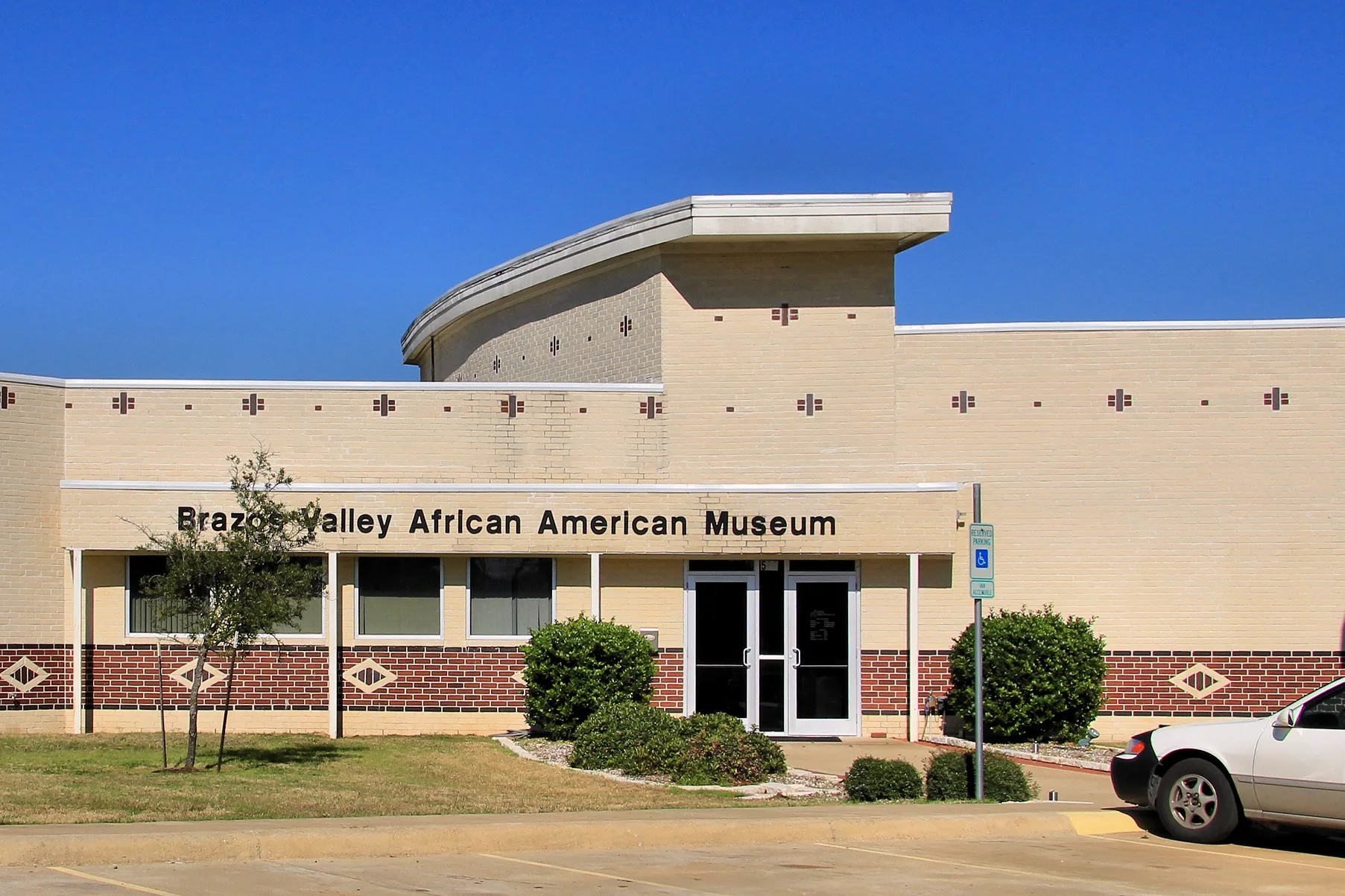
Brazos Valley African American Museum0.2 mi
Pawn shops nearby
Cash America Pawn0.4 mi
Places of worship nearby
Shiloh Baptist Church0.2 mi
The Way, the Truth, and the Life Ministries0.3 mi
Allen Chapel AME Church0.3 mi
Cross Central Church0.4 mi
Restaurants nearby
Hot Dogs Etc.0.5 mi
 Public transit map Bryan Legend
| Railway | |
| Bus | |
| Streetcar |
 Bicycle map Bryan Legend
| Bike path | |
| Bike lane on roadway | |
| Cycling allowed on bus lane | |
| Bicycle street | |
| Open to cyclists | |
| Open to cyclists, good path | |
| Cycling prohibited | |
| Cobblestone |
| Long-distance bike route | (depending on scale) | |
| Long-distance bike route |
 Pedestrian map Bryan Legend
| Path |
| Long-distance hiking trail | (depending on scale) | |
| Long-distance hiking trail | ||
| Pedestrians prohibited |