
Nagle Street in College Station, Texas
Nagle Street in College Station is a residential street. It runs in a southeast-northwest direction and crosses Lamar Street and ends at Lubbock Street, while the other end is a cul-de-sac. Nearby you can find a cafe and a studio. The nearest bus stop is Commons (about 100 m away). Nagle Street also exists in Bryan.
- Road Type
- unclassified road
- Route
- southeast-northwest
Image
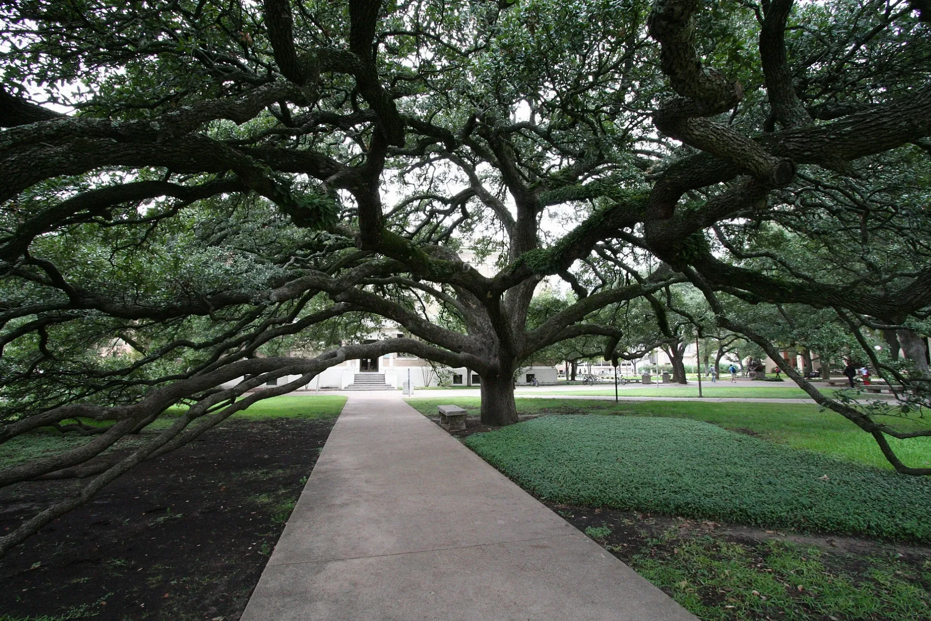
Streets nearby
Lubbock StreetCommons Dining Hall, Commons
200 ft
Spence StreetStarbucks
0.1 mi
Mosher Lane0.2 mi
Lamar StreetMSC
0.2 mi
Ross StreetRoss and Bizzell, Ross and Ireland, Fish Pond South, Fish Pond North
0.3 mi
Art galleries nearby
M. Benz Gallery of Floral Art0.3 mi
Buildings nearby
Vending Machine Booth500 ft
The Golf Club at Texas A & M0.3 mi
Dormitories nearby
Spence Hall - Dorm 1500 ft
Briggs Hall - Dorm 30.1 mi
Grasslands nearby
East Lawn0.3 mi
Libraries nearby
Sterling C. Evans Library Annex550 ft
Cushing Memorial Library0.1 mi
Sterling C. Evans Library0.1 mi
Parking lots nearby
Central Campus Garage550 ft
Parks nearby
East Quad0.2 mi
Chemistry Plaza0.2 mi
E-Quad0.3 mi
University buildings nearby
Engineering Activities Building C100 ft
Heldenfels Hall150 ft
Peterson Building200 ft
Butler Hall250 ft
Student Computing Center350 ft
Engineering Activities Building B350 ft
Biological Sciences Building East450 ft
Engineering Activities Building A0.1 mi
HEEP Laboratory Building0.1 mi
Pavillion0.1 mi
Ash II Leadership Learning Center0.1 mi
Commons0.1 mi
The Hub - Bicycle Maintenance Shack0.1 mi
Glasscock Building0.1 mi
Computer Science Center0.1 mi
Teague Building0.2 mi
Animal Industries Building0.2 mi
Liberal Arts and Arts & Humanities Building0.2 mi
Francis Hall0.2 mi
Harrington Education Center Classroom Building0.2 mi
Anthropology Building0.2 mi
Eller Oceanography and Meteorology Building0.2 mi
Scoates Hall0.2 mi
Harvey R. Bright Building0.2 mi
Chemistry0.3 mi
Langford Architecture Center Building A0.3 mi
Langford Building C0.3 mi
Doherty Building0.3 mi
Langford Building B0.3 mi
Joe C. Richardson Petroleum Engineering Building0.3 mi
H.J. (Bill) and Reta Haynes Engineering Building0.3 mi
 Public transit map College Station Legend
| Railway | |
| Bus | |
| Streetcar |
 Bicycle map College Station Legend
| Bike path | |
| Bike lane on roadway | |
| Cycling allowed on bus lane | |
| Bicycle street | |
| Open to cyclists | |
| Open to cyclists, good path | |
| Cycling prohibited | |
| Cobblestone |
| Long-distance bike route | (depending on scale) | |
| Long-distance bike route |
 Pedestrian map College Station Legend
| Path |
| Long-distance hiking trail | (depending on scale) | |
| Long-distance hiking trail | ||
| Pedestrians prohibited |