
South Parker Avenue in Bryan, Texas
South Parker Avenue in Bryan is a residential street. It runs in a north-south direction starting from North Parker Avenue and crosses West 26th Street, West 27th Street, West 28th Street, West 29th Street and West 30th Street and ends at West 31st Street. South Parker Avenue also exists in Dickens County.
- Road Type
- residential street
- Postal Code
- 77803
- Route
- north-south
Image
Marketplaces
Coffee shops
Tobacco shops
Museums
Stations
Restaurants
Social facilities
Gift shops
Cafes
Fast food restaurants
Bars
Artworks
Theaters
Tourist information centers
Art galleries
Streets nearby
West 29th Street200 ft
South Sims Avenue350 ft
West 30th Street350 ft
South Bryan AvenueOld Town Marketplace
500 ft
South Main StreetPapa Perez, Earth Art
0.1 mi
South Sterling Avenue0.1 mi
West 27th StreetMadden's Casual Gourmet
0.2 mi
East 29th StreetFabulous Hair by Daniel and Team, Children's Museum of Brazos Valley, Carter Creek Shopping Center, Broadmoor, Rooted Family Health, St Joseph Family Medicine, Tarrow/East 29th, Astin-Porter House
0.2 mi
Carnegie AlleyRevolution Cafe & Bar, Velvet Leaf Cigar Lounge
0.2 mi
South Logan Avenue0.2 mi
West 31st Street0.2 mi
East 30th Street0.2 mi
Bryant Street0.2 mi
East 27th Street0.2 mi
South Tabor Avenue0.2 mi
North Sims Avenue0.2 mi
North Bryan AvenueThe Frame Gallery
0.2 mi
North Main StreetThe Proudest Monkey, The Grand Stafford Theater, The Chocolate Gallery, Catalina Hatters, Subway, Good Time Charley's, Caffe Capri, ChargePoint, Murphy's Law, Bavarian Brauhaus
0.2 mi
West 32nd Street0.2 mi
Regent AvenueBryan Terminal, Children's Museum of Brazos Valley
0.2 mi
East 28th Street1st Methodist Park, Acme Glass, Sun Beam Bagels & Coffee
0.2 mi
East 32nd Street0.2 mi
East 26th Street0.2 mi
Finfeather RoadVilla Maria
0.3 mi
West William J Bryan ParkwaySquare One Art Gallery, The Corner of Time
0.3 mi
East 31st Street0.3 mi
West 33rd Street0.3 mi
South Randolph Avenue0.3 mi
East William J Bryan ParkwayHaswell Pond and Fountain, Haswell Park Picnic #2, Haswell Park Picnic #3, Haswell Park Picnic #4, Bryan
0.3 mi
West 28th StreetBrazos Valley Council on Alcohol and Substance Abuse
0.4 mi
South Congress Street0.4 mi
West 26th StreetThe Village Cafe, Downtown Uncorked, Mr. G's Italian Pizzeria, Downtown Bryan Association, Art 979 Art Gallery
0.4 mi
Railway nearby
Bush Junction0.3 mi
Buildings nearby
Brazos County Administrative Building0.3 mi
Fire stations nearby
Bryan Fire Department Station 10.3 mi
Hotels nearby
The Lasalle Hotel, Bryan College Station, A Tribute Portfolio Hotel0.2 mi
Milton Parker Home Bed and Breakfast0.4 mi
Libraries nearby
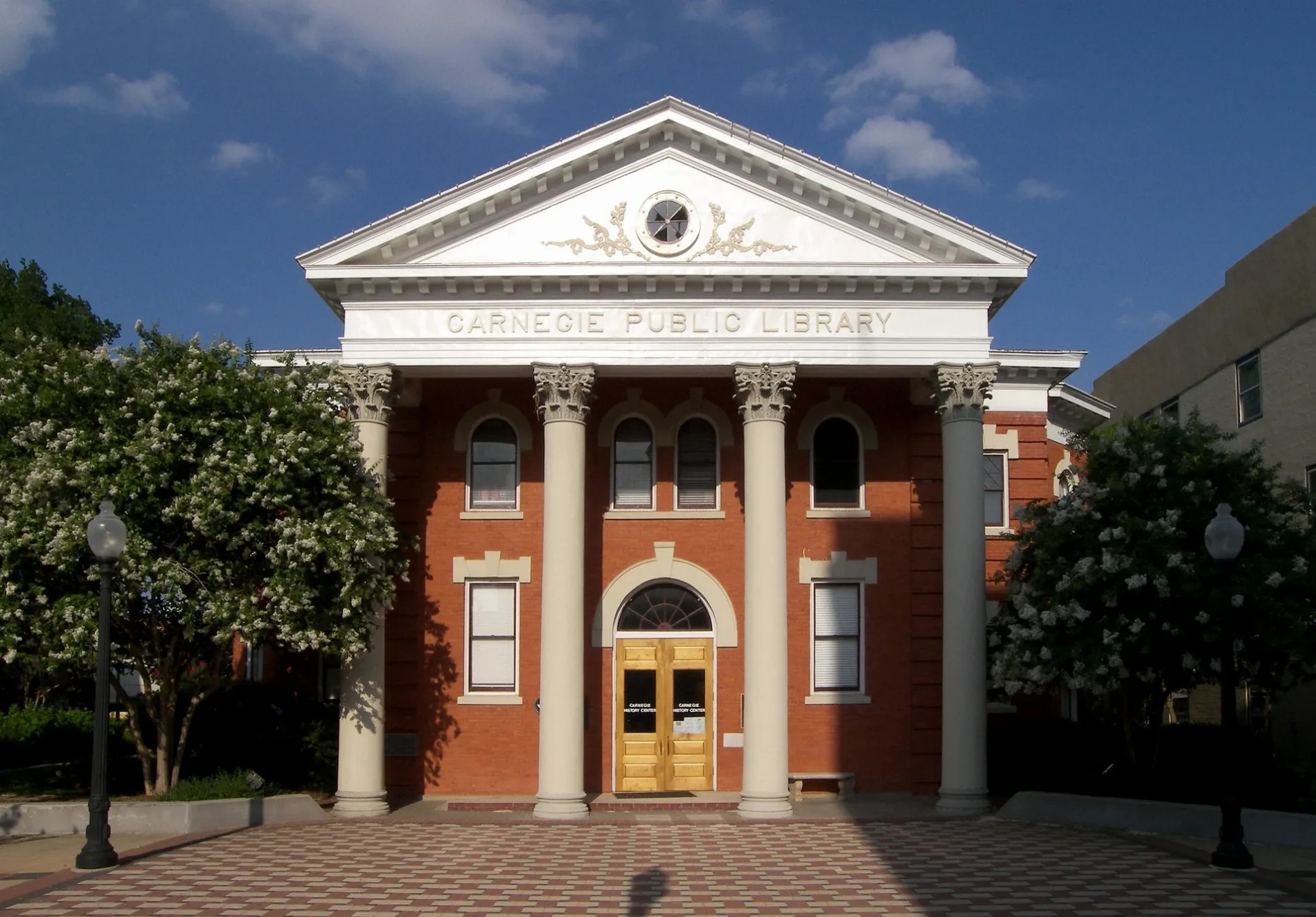
Carnegie History Center0.2 mi
Clara B. Mounce Public Library0.2 mi
Movie theaters nearby
The Queen Theater0.2 mi
Parking lots nearby
Roy Kelly Parking Garage0.3 mi
Parks nearby
Gloria Stephan Sale Park500 ft
Places of worship nearby
Saint Anthony Catholic Church150 ft
Saint Andrews Episcopal Church0.2 mi
Railways nearby
UP Navasota Subdivision0.3 mi
School buildings nearby
Bowie School (Abandoned)0.2 mi
Streams nearby
Cottonwood Branch0.3 mi
Synagogues nearby
Temple Freda0.1 mi
Theaters nearby
The Palace Theatre0.2 mi
Public transit map Bryan Legend
| Railway | |
| Bus | |
| Streetcar |
Bicycle map Bryan Legend
| Bike path | |
| Bike lane on roadway | |
| Cycling allowed on bus lane | |
| Bicycle street | |
| Open to cyclists | |
| Open to cyclists, good path | |
| Cycling prohibited | |
| Cobblestone |
| Long-distance bike route | (depending on scale) | |
| Long-distance bike route |
Pedestrian map Bryan Legend
| Path |
| Long-distance hiking trail | (depending on scale) | |
| Long-distance hiking trail | ||
| Pedestrians prohibited |