
Avenue T in Marble Falls, Texas
Avenue T in Marble Falls is a residential street. It runs in a northeast-southwest direction starting from Broadway Street and crosses 7th Street, 6th Street, 4th Street and 3rd Street and ends at 2nd Street. Avenue T also exists in Galveston County, Medina County, Hockley County, Lubbock County and Scurry County.
- Road Type
- residential street
- Route
- northeast-southwest
Image
Clothing stores
Bus stops
Fast food restaurants
Lighting stores
Candy stores
Restaurants
Galleries
Guest houses
Theaters
Gas stations
Places of worship
Pharmacies
Nightclubs
Copy shops
Florists
Streets nearby
3rd StreetDowntown Beer Hall, Rae's Bar & Grill, Choccolatte's, Jardin Corona, JoJo's Bakery, Darci's Deli, Brass Hall, McKenzie Guest House
0.1 mi
Avenue R0.2 mi
Industrial Boulevard0.2 mi
4th StreetWestside Baptist Church, Subway, Donut Crown, Connect Hearing, Angel Nails
0.2 mi
Broadway StreetMarble Falls, Sutliff & Stout Injury & Accident Law Firm - Marble Falls, Janie's Mexican
0.2 mi
Avenue U0.2 mi
Village Circle0.3 mi
2nd StreetGinger & Spice, Ola's Boutique, Smartie Pantz
0.3 mi
Avenue S0.3 mi
Avenue P0.3 mi
7th StreetFrancesco's, First State Bank
0.3 mi
Avenue Q0.4 mi
Veterans Drive0.4 mi
Granite Mountain Trail0.4 mi
6th StreetBrother's Bakery
0.4 mi
Avenue O0.4 mi
West Ranch Road 1431Lucky Buffet, Margarita's Mexican, Doc's Fish Camp & Grill, Chevron, Big Daddy's Shell, H-E-B Pharmacy
0.4 mi
Elm Lane0.4 mi
South Avenue S0.4 mi
11th Street0.5 mi
5th Street0.5 mi
Avenue N0.5 mi
9th Street0.5 mi
Arbor Lane0.5 mi
Northwood Drive0.6 mi
Sunset Drive0.6 mi
Lacy Drive0.6 mi
Pony DriveMarble Falls HEB
0.7 mi
Buildings nearby
Marble Falls Area EMS0.2 mi
Community centers nearby
Boys & Girls Club Seriff Center0.3 mi
Dams nearby
Meadowlakes Number 1 Dam0.4 mi
Disused railways nearby
Austin Western Railroad0.4 mi
Fast food restaurants nearby
McDonald's0.5 mi
Fire stations nearby
Marble Falls Area Volunteer Fire Department0.2 mi
Marble Falls Fire Rescue0.5 mi
Gas stations nearby
Valero0.5 mi
H-E-B Fuel0.6 mi
Hardware stores nearby
Ace Hardware0.5 mi
Museums nearby
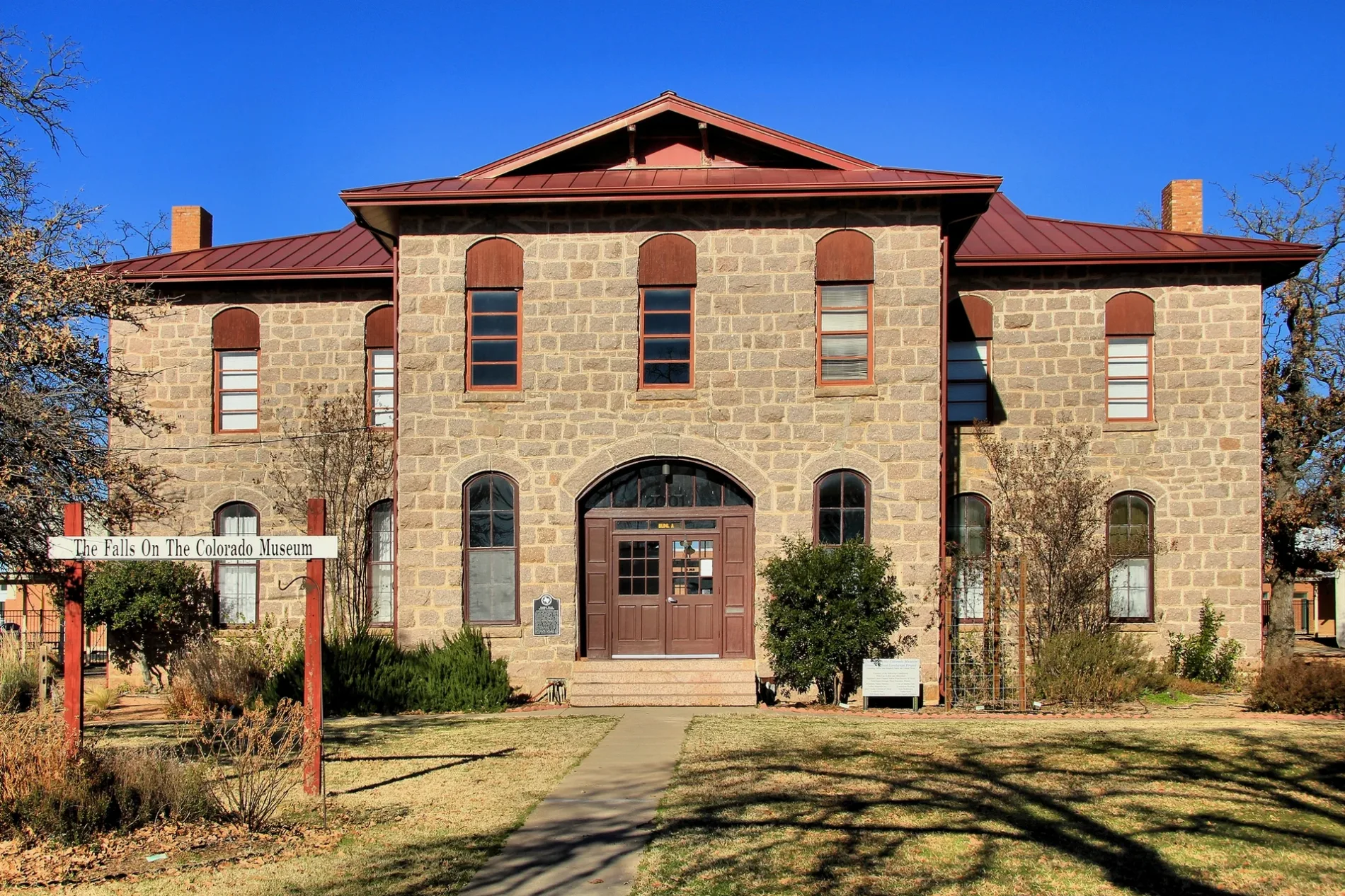
The Falls Museum0.3 mi
Parks nearby
VFW Park Baseball Field0.5 mi
Places of worship nearby
St. Peter's Lutheran Church0.4 mi
Police stations nearby
Marble Falls Police Department0.4 mi
Residential areas nearby
Sunset Apartments0.4 mi
Restaurants nearby
The Real New Orleans Style Restaurant0.4 mi
Rivers nearby
Backbone Creek0.4 mi
Stadiums nearby
Marble Falls Middle School Stadium0.7 mi
Supermarkets nearby
H-E-B0.5 mi
Waters nearby
Meadowlakes Number 1 Lake0.4 mi
Other nearby
Granite Mountain Substation0.7 mi
 Public transit map Marble Falls Legend
| Railway | |
| Bus | |
| Streetcar |
 Bicycle map Marble Falls Legend
| Bike path | |
| Bike lane on roadway | |
| Cycling allowed on bus lane | |
| Bicycle street | |
| Open to cyclists | |
| Open to cyclists, good path | |
| Cycling prohibited | |
| Cobblestone |
| Long-distance bike route | (depending on scale) | |
| Long-distance bike route |
 Pedestrian map Marble Falls Legend
| Path |
| Long-distance hiking trail | (depending on scale) | |
| Long-distance hiking trail | ||
| Pedestrians prohibited |