
South 5th Street in Gatesville, Texas
South 5th Street in Gatesville is a residential street. It runs in a north-south direction starting from North 5th Street and crosses East Main Street, East Leon Street, Bridge Street and Pidcoke Street and ends at College Street. South 5th Street also exists in Travis County, Montgomery County, Harris County, Chambers County and Fort Bend County.
- Road Type
- residential street
- Route
- north-south
Image
Variety stores
Beauty salons
Clothing stores
Hair salons
Cell phone stores
Gas stations
Places of worship
Dentist offices
Museums
- Coryell County Museum (Web) – approx. 0.2 mi.
Massage therapy clinics
Farm supply stores
Jewelry stores
Clinics
Pharmacies
Fast food restaurants
Restaurants
Vape shops
Auto parts stores
Convenience stores
Schools
Streets nearby
East Leon Street400 ft
Wells Park450 ft
North 6th Street500 ft
North 5th Street0.1 mi
East Main StreetCEFCO, Gatesville
0.1 mi
North 7th Street0.2 mi
South 6th Street0.2 mi
South 4th Street0.2 mi
South 3rd Street0.2 mi
North 8th StreetCoryell County Museum
0.2 mi
College Street0.2 mi
South 7th Street0.3 mi
Waco Street0.3 mi
North 9th Street0.3 mi
South 10th Street0.3 mi
Saunders Street0.3 mi
Gatesville Walking Trail0.4 mi
North 10th Street0.4 mi
Fennimore Street0.4 mi
South 8th Street0.4 mi
Bridge Street0.4 mi
Pleasant Street0.5 mi
South Lutterloh Avenue0.5 mi
Saint Louis Street0.5 mi
Pidcoke Street0.5 mi
North Lutterloh AvenueFaith of Abraham Church of God
0.5 mi
South 14th Street0.5 mi
North 11th Street0.5 mi
Mills Street0.6 mi
Sadler Street0.6 mi
North 14th Street0.6 mi
North 12th Street0.7 mi
Buildings nearby
Boy Scout Troop 2720.3 mi
Courthouses nearby
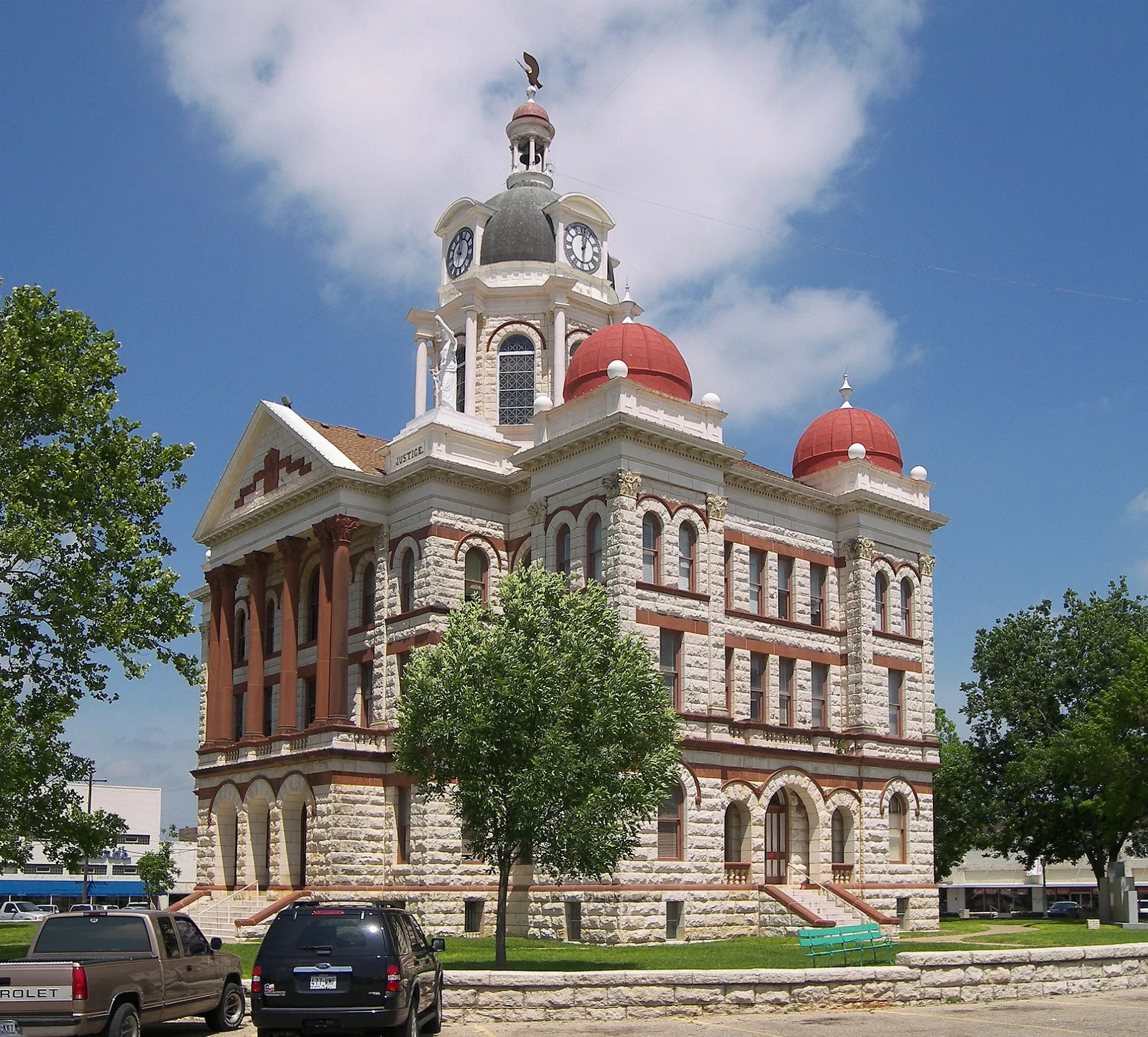
Coryell County Courthouse0.1 mi
Farm supply stores nearby
Coryell Feed & Supply0.3 mi
Gas stations nearby
H-E-B Fuel0.5 mi
Hotels nearby
Main Street Inn0.1 mi
Ice cream shops nearby
Sno Biz0.6 mi
Libraries nearby
Gatesville Public Library0.2 mi
Parks nearby
Raby Park0.3 mi
Places of worship nearby
First Baptist Church of Gatesville0.3 mi
Tabernacle Of Praise0.3 mi
Harvesting Souls Church0.6 mi
Mount Calvary Church of God in Christ0.7 mi
Rv parks nearby
8th & Bridge Street RV Park0.2 mi
Sports fields nearby
Gatesville Skate Park0.2 mi
Supermarkets nearby
H-E-B0.6 mi
Swimming pools nearby
Gatesville City Pool0.2 mi
Other nearby
Gatesville #2 Substation0.5 mi
Public transit map Gatesville Legend
| Railway | |
| Bus | |
| Streetcar |
Bicycle map Gatesville Legend
| Bike path | |
| Bike lane on roadway | |
| Cycling allowed on bus lane | |
| Bicycle street | |
| Open to cyclists | |
| Open to cyclists, good path | |
| Cycling prohibited | |
| Cobblestone |
| Long-distance bike route | (depending on scale) | |
| Long-distance bike route |
Pedestrian map Gatesville Legend
| Path |
| Long-distance hiking trail | (depending on scale) | |
| Long-distance hiking trail | ||
| Pedestrians prohibited |