
Joy Drive in Carrollton, Texas
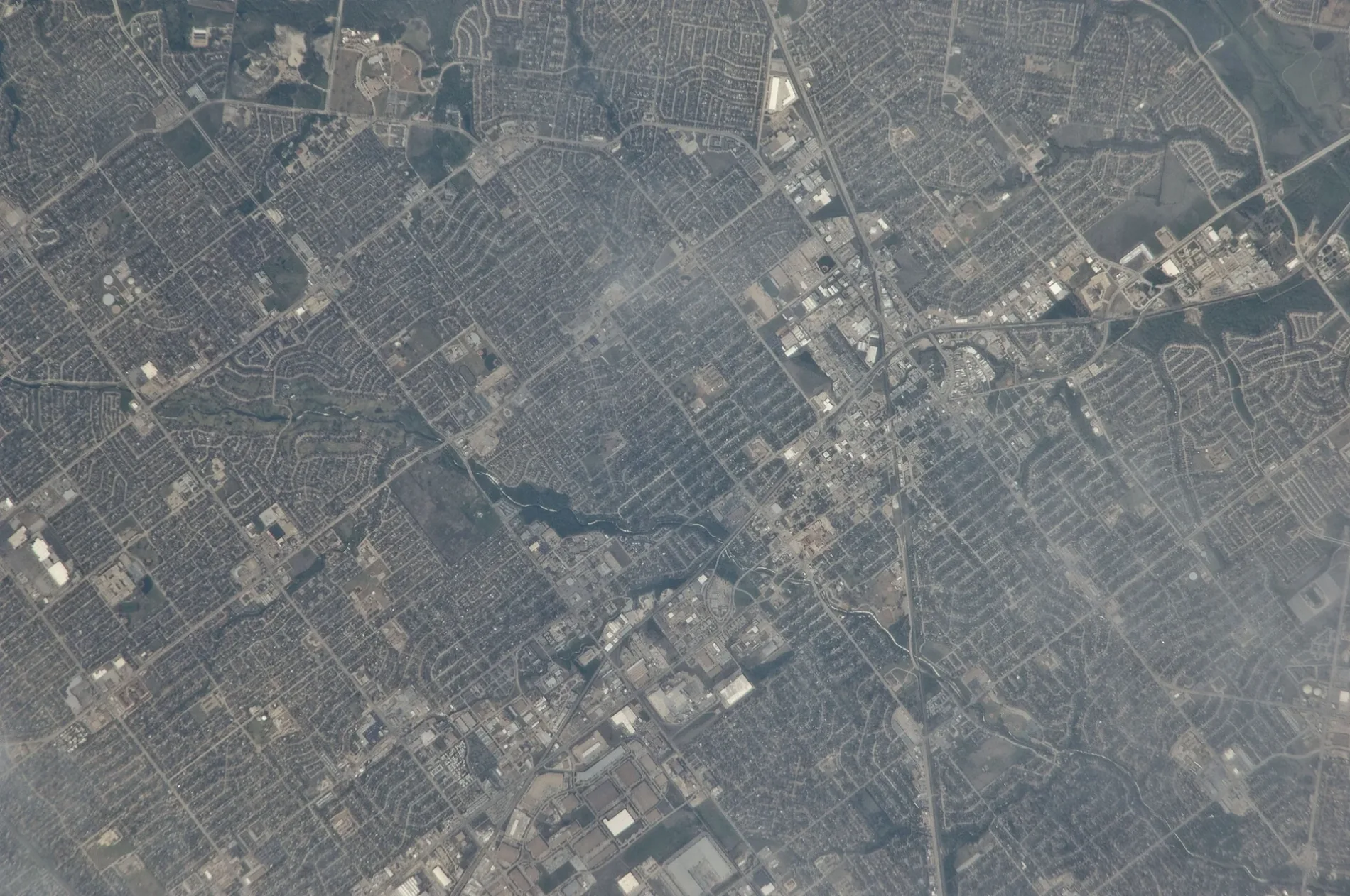
Joy Drive in Carrollton is a concrete residential street. The road surface is excellent. It runs in a northeast-southwest direction and ends at McCoy Road, while the other end is a cul-de-sac. Joy Drive also exists in Brazoria County, Wichita County, Denton County, Tarrant County and McLennan County.
- Road Type
- residential street
- Route
- northeast-southwest
Image
Places of worship
Supermarkets
Auto parts stores
Cafes
Post offices
Bus stops
Restaurants
Hardware stores
Dry cleaners
Vape shops
Streets nearby
McCoy Road500 ft
Golden Gate Court0.1 mi
Golden Gate Drive0.2 mi
Panorama Drive0.2 mi
Sugar Creek Drive0.2 mi
Honeydew Drive0.2 mi
East Frankford RoadFrankford @ Lockwood - W - NS, Frankford @ Lockwood - E - FS, Frankford @ Rolling Hills - E - NS, Frankford @ Standridge - W - NS, Frankford @ Standridge - W - MB, Frankford @ Luallen - E - FS, Frankford @ Furneaux - E - FS, Brakes Plus, Frankford @ Winterberry - W - NS, Frankford @ Stefani - W - NS, Care Plus Family Clinic, Moonlite Printing, Danzarte Academy, Frankford @ Post Oak - E - FS, Frankford @ Fairgate - W - FS, Frankford @ Cemetery Hill - E - NS, Frankford @ Standridge - E - FS, VIP Cleaners, Walgreens, Frankford @ Josey - W - FS, Kookaburra Bird Shop, North Carrollton Veterinary Hospital, Frankford @ Post Oak - W - NS, Frankford @ Josey - E - FS, The Ace Event Venue, Frankford @ Josey - E - MB, Frankford @ Honeydew - W - NS, Catfish House, Frankford @ Luallen - W - NS, Frankford @ Cemetery Hill - E - MB, TeaLatte Bar, Frankford @ Fairgate - E - NS, Frankford @ Honeydew - E - NS, Texaco, Frankford @ Scott Mill - W - FS
0.2 mi
Pacifica Street0.2 mi
Mayfair Drive0.2 mi
Mission Ridge Trail0.2 mi
Sunnyslope Drive0.3 mi
Menlo Park Lane0.3 mi
Palisades Drive0.3 mi
Peninsula Way0.3 mi
Telegraph Hill Trail0.3 mi
Fort Point Lane0.3 mi
Bellflower Lane0.3 mi
Sunset Point Lane0.3 mi
Brisbane Drive0.3 mi
Buena Vista Court0.3 mi
Fairgate Drive0.3 mi
Lotus Street0.4 mi
Moonstone Street0.4 mi
Alameda Drive0.4 mi
Landover Drive0.4 mi
Hunters Point Lane0.4 mi
Old Denton RoadCreative Style, Salon H, Blu Dental of Carrollton, Panda Express, Kichi Bar, Don Sarang Original Korean BBQ, PCB Bank, BCI Janitorial, Pelicula Media, Metro City Bank, Show Mian 小面, JINYA Ramen Bar, TP Tea, Mun Gai Thai Street Food, Chick-fil-A, Kirby Bagel, Shoo Loong Kan, Kwik Kar Lube & Tune, Miao, Sushi Kadan, No.1 Plus Chicken, Ari Korean BBQ, Sharetea, Ecclesia Bakery & Cafe, Bowl Mami, Gui Rock Korean BBQ, New Koreatown, The Crab Station, American First National Bank, Abe Japanese Food:Bar, Old Denton @ Clinton - N - NS, O’Reilly Auto Parts, Puradak, Old Denton @ Clinton - S - FS, Viewpoint Vision Clinic, Wingstop, Jersey Mike's Subs, Great Clips, Wells Fargo, Artisan Vapor Company, The UPS Store, PowerKenpo, United Methodist Church Aldersgate, Carnation Auto Spa, Vapor Planet
0.4 mi
Ridgeview Drive0.5 mi
Ridgeview0.5 mi
Maple Court0.5 mi
Cemetery Hill Road0.5 mi
Crane Street0.5 mi
West Frankford RoadStarbucks, McDonald's
0.5 mi
Peacock Boulevard0.5 mi
Magnolia Drive0.5 mi
Orchid Street0.5 mi
Hampshire Lane0.5 mi
Kirin Road0.5 mi
Water Street0.6 mi
Clinton Street0.6 mi
Gardenia Street0.6 mi
Auto repair shops nearby
SpeeDee Oil Change0.4 mi
Banks nearby
Chase0.4 mi
Dentist's offices nearby
Dentristry Kimberley Capua, DDS0.5 mi
Fast food restaurants nearby
Taco Bell0.3 mi
Sonic0.5 mi
Gas stations nearby
Texaco0.4 mi
Chevron0.4 mi
Restaurants nearby
Gold Spoon0.4 mi
Public transit map Carrollton Legend
| Railway | |
| Bus | |
| Streetcar |
Bicycle map Carrollton Legend
| Bike path | |
| Bike lane on roadway | |
| Cycling allowed on bus lane | |
| Bicycle street | |
| Open to cyclists | |
| Open to cyclists, good path | |
| Cycling prohibited | |
| Cobblestone |
| Long-distance bike route | (depending on scale) | |
| Long-distance bike route |
Pedestrian map Carrollton Legend
| Path |
| Long-distance hiking trail | (depending on scale) | |
| Long-distance hiking trail | ||
| Pedestrians prohibited |