
Tiffany Way in Dallas
Tiffany Way in Dallas is an asphalted unclassified road. It runs in a southeast-northwest direction starting from Lake Highlands Drive West and crosses Erie Court, Biscayne Boulevard and Peninsula Drive and ends at East Lake Highlands Drive.
- Road Type
- residential street
- Route
- southeast-northwest
Image
Streets nearby
Riverton Road0.1 mi
Luna Place0.1 mi
Lake Highlands Drive East0.1 mi
Lake Highlands Drive West0.2 mi
Erie Court0.2 mi
Biscayne Boulevard0.2 mi
Peninsula Drive0.2 mi
Tarleton Street0.2 mi
East Lawther DriveMartin Rutchik Concert Stage & Lawn, Walk in the Clouds, Texas Skywalk, Lakeside Exhibit Area, The Barbara and Bob Bigham Scenic Overlook
0.3 mi
East Lake Highlands Drive0.3 mi
North Buckner BoulevardEl Vecino, Buckner @ Chenault - S - NS, Chili's, Pei Wei, Buckner @ Peavy - N - MB, Buckner @ John West - N - MB, Buckner @ Chenault - N - MB, Buckner @ Chenault - N - FS, Torchy's Tacos, Buckner @ Chenault - S - MB, Schlotzsky's, Southern Maid Donut Shop
0.3 mi
Hobart Street0.3 mi
Northcliff DriveAlfonso's Italian Restaurant
0.3 mi
Tranquilla Drive0.4 mi
Tipperary Drive0.4 mi
Waterford Drive0.4 mi
Creekmere Drive0.4 mi
Bridget Drive0.4 mi
Dreyfuss Way0.4 mi
Erin Drive0.4 mi
Lake Terrace Drive0.4 mi
Tralee Drive0.4 mi
Lake Terrace Circle0.5 mi
Peavy RoadGoodfriend Beer Garden and Burger House, Peavy @ Province - S - NS, Peavy @ Millmar - S - NS, Peavy @ Millmar - N - NS, Peavy @ Province - N - NS, Peavy @ Estacado - S - NS, Peavy @ Estacado - N - NS, Peavy @ Hermosa - N - MB, Peavy @ Hermosa - S - NS, Peavy @ Losa - S - FS, Walgreens, El Ranchito, Hello Dumpling, Greenville Avenue Pizza Co., Peavy @ Gross - S - NS, Peavy @ Gross - N - FS, Peavy @ Ferguson - S - FS, Peavy @ Ferguson - N - NS, Peavy @ Abshire - S - FS, Peavy @ Williams - N - MB, Peavy @ Abshire - S - MB, CVS Pharmacy, Peavy @ Oates - N - NS, Peavy @ Garland - N - MB
0.5 mi
Poppy Drive0.5 mi
County Cork Drive0.5 mi
Athlone Drive0.5 mi
Waterview Road0.5 mi
Donegal Drive0.5 mi
Bluff Dale Drive0.5 mi
Thicket Circle0.5 mi
White Rock Lake TrailLower spillway, Upper spillway
0.5 mi
Harter Road0.5 mi
Creekmere Circle0.5 mi
Berkinshire Drive0.5 mi
Edgelake Drive0.6 mi
Brookhurst DriveLake Highlands Baptist Church
0.6 mi
Gateway Lane0.6 mi
Parkhurst Drive0.6 mi
Overglen Drive0.6 mi
Northlake Drive0.6 mi
Kirkwood Drive0.7 mi
Sylvania Drive0.7 mi
Creekridge Drive0.7 mi
Commercial buildings nearby
Stride N Ride Central0.2 mi
Museums nearby
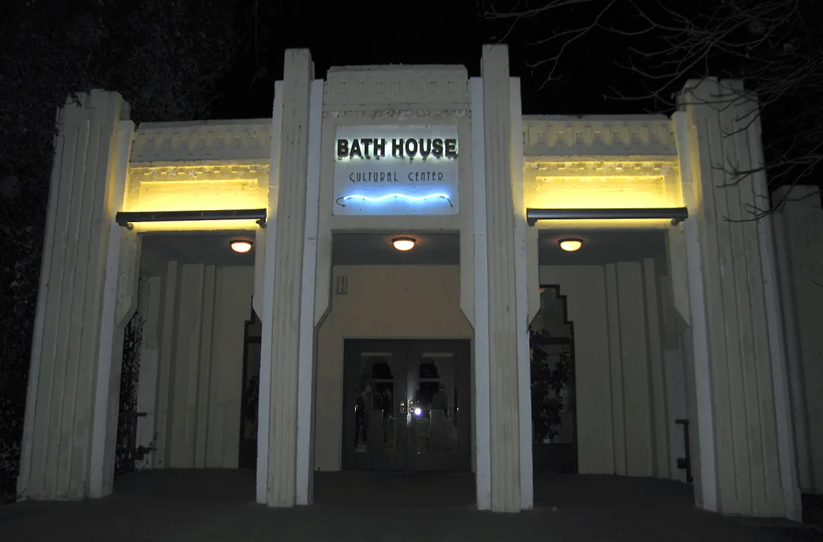
White Rock Bath House Cultural Center0.3 mi
Parks nearby
Lake Highlands Park0.7 mi
Retail areas nearby
White Rock Center0.3 mi
Streams nearby
Dixon Branch0.3 mi
 Public transit map Dallas Legend
| Railway | |
| Bus | |
| Streetcar |
 Bicycle map Dallas Legend
| Bike path | |
| Bike lane on roadway | |
| Cycling allowed on bus lane | |
| Bicycle street | |
| Open to cyclists | |
| Open to cyclists, good path | |
| Cycling prohibited | |
| Cobblestone |
| Long-distance bike route | (depending on scale) | |
| Long-distance bike route |
 Pedestrian map Dallas Legend
| Path |
| Long-distance hiking trail | (depending on scale) | |
| Long-distance hiking trail | ||
| Pedestrians prohibited |