
Richards Street in Rowlett, Texas
Richards Street in Rowlett is a two-lane, concrete residential street and runs in a northeast-southwest direction starting from Melcer Drive and ends in a cul-de-sac. Richards Street also exists in Brazoria County, Cottle County, Throckmorton County, McCulloch County and Hill County.
- Road Type
- residential street
- Lanes
- 2
- Route
- northeast-southwest
Image
Mailboxes
Auto repair shops
Hardware stores
Light rail stops
Bus stops
Cell phone stores
Supermarkets
Restaurants
Cafes
Libraries
Beauty salons
Medical supply stores
Liquor stores
Streets nearby
Melcer DriveBrakes Plus, Rowlett Cafe
400 ft
Commerce Street400 ft
Ponder Street0.1 mi
Oliver Street0.1 mi
Martin Drive7, 6, 5, 4, 3, 2, 1
0.2 mi
Rowlett RoadMia's Donut, Zuko's Pizza Pasta, Enterprise, Goody Goody, Rowlett Post Office, Game Master, Rowlett Fire Station #4
0.2 mi
Coyle Street0.2 mi
Rowlett StreetRowlett
0.2 mi
Dennis Street0.2 mi
Skyline Drive0.2 mi
Main StreetRowlett Public Library, La Casita Coffee
0.2 mi
Enterprise Drive0.2 mi
Kirby Street0.3 mi
Industrial Street0.3 mi
Lakeview ParkwayValero, Action Behavior Centers - ABA Therapy for Autism, Wells Fargo, CVS Pharmacy, Chipotle, Allpoint, Walgreens, T-Mobile, Nick's Sports Grill, Peppermint Safari - Upscale Resale, Opa! Greek Taverna, Super Shack, Jimmy John's, Dry Clean A2Z, Deno's Kitchen and Spirits, Domino's, Winfield's Cookies and More, Dalrock, Dunkin', Braum's, Starbucks, Five Guys, Grain and Berry, AFC Urgent Care
0.4 mi
Big A RoadGreat Clips, Allpoint, Sabaidee Lao & Thai Street Food, Wingstop
0.4 mi
Founders Drive0.5 mi
Freedom Lane0.5 mi
Greenway Drive0.5 mi
Constitution Drive0.5 mi
Buildings nearby
Coyle Cotton Gin0.2 mi
Auto parts stores nearby
O'Reilly Auto Parts0.3 mi
AutoZone0.4 mi
Auto repair shops nearby
Firestone0.2 mi
Banks nearby
Chase0.4 mi
Cafes nearby
151 Coffee0.3 mi
Clinics nearby
Surepoint Emergency Center Rowlett0.4 mi
Convenience stores nearby
E-Z Mart0.3 mi
Drugstores nearby
CVS Pharmacy0.3 mi
Walgreens0.3 mi
Fast food restaurants nearby
KFC0.2 mi
Popeyes0.3 mi
McDonald's0.3 mi
Taco Bell0.3 mi
Jack in the Box0.4 mi
Panda Express0.4 mi
Chicken Express0.4 mi
Fitness centers nearby
Sideline Sports350 ft
LA Fitness0.5 mi
Gas stations nearby
Shell0.3 mi
Light rail lines nearby
DART Northeast Corridor550 ft
Post offices nearby
Rowlett Post Office0.2 mi
Railways nearby
Garland Subdivision0.2 mi
Residential areas nearby
Rowlett Station200 ft
Restaurants nearby
Hubbard's Texas Cafe & Grill0.4 mi
Retail areas nearby
Timberlake Shopping Center0.3 mi
School buildings nearby
Coyle Middle School0.3 mi
Stations nearby
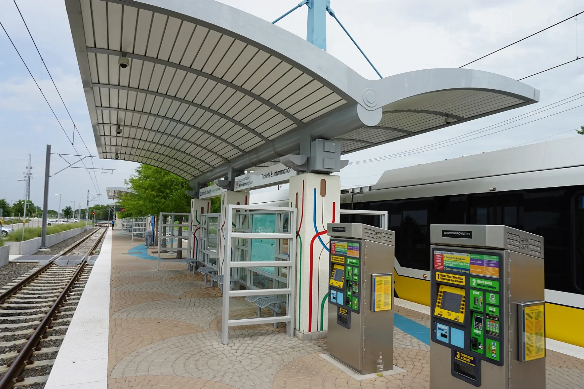
Downtown Rowlett0.2 mi
Variety stores nearby
Dollar General0.5 mi
Public transit map Rowlett Legend
| Railway | |
| Bus | |
| Streetcar |
Bicycle map Rowlett Legend
| Bike path | |
| Bike lane on roadway | |
| Cycling allowed on bus lane | |
| Bicycle street | |
| Open to cyclists | |
| Open to cyclists, good path | |
| Cycling prohibited | |
| Cobblestone |
| Long-distance bike route | (depending on scale) | |
| Long-distance bike route |
Pedestrian map Rowlett Legend
| Path |
| Long-distance hiking trail | (depending on scale) | |
| Long-distance hiking trail | ||
| Pedestrians prohibited |