
Candy Lane in Odessa, Texas
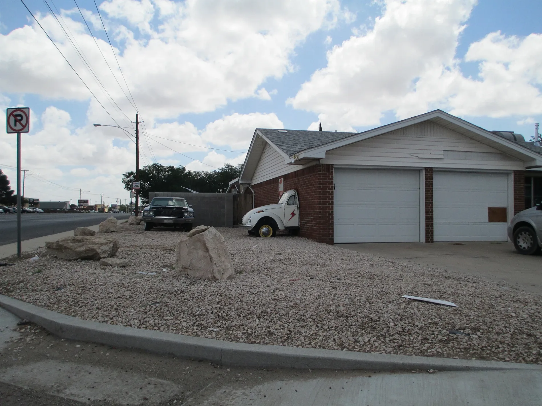
Candy Lane in Odessa is a residential street. It runs in a northeast-southwest direction starting from North Grandview Avenue and crosses Kenwood Drive and Englewood Lane and ends at Bay Oaks Drive. Candy Lane also exists in Hidalgo County, Denton County, McLennan County, Brazos County and Leon County.
- Road Type
- residential street
- Route
- northeast-southwest
Image
Beauty salons
Clinics
Stationery stores
Pharmacies
Supplement stores
Restaurants
Fast food restaurants
Banks
Butcher shops
Art galleries
Places of worship
Cell phone stores
Auto parts stores
Tobacco shops
Hair salons
Streets nearby
Bay Oaks Drive0.1 mi
Tanglewood LaneMotor City USA Replat, Connection Christian Church, Tanglewood Church of Christ, Saint Barnabas Episcopal Church, Bottoms Up, Club Crude, Wienerschnitzel, Popeyes, North Permian Mall Addition, Premium Vape, Plum's Beer Wine Liqour, No Tan Lines, Verizon
0.2 mi
Wendover AvenueFirst Physicians Wendover Family Medicine, Office Depot, First Physicians Women's Health, Raising Cane's
0.3 mi
East Everglade Avenue0.3 mi
Englewood LanePizza Hut, Advance Auto Parts
0.3 mi
Wood Court0.3 mi
Rotary WalkwayJersey Girl's Pizza-, Unique Nails & Spa, Beltone, Dos Compadre's, Pho and More, SouthWest Bank
0.3 mi
East 42nd StreetBethel Assembly of God Church, Starbucks, Jimmy John's, BB&T, Wingstop, Nothing Bundt Cakes, Kokomo, Jack and Jills Donuts, Mo's Smoke Shop and Western Wear, AutoZone, Jorge's, Elite Nail and Spa, Tropical Smoothie Cafe, Jimmy's Egg, Kpot, CVS Pharmacy, Bank of America, Burger King, Procuts, Papa John's, The UPS Store, Nina's Spa and Nail, A Massage, Alfredo's Neveria and Paleteria, Family Dollar, Little Caesars, Tech Doctoer, Locker Room Haircuts, Smoothie King, Honey Donuts, 7 Brew, McDonald's
0.3 mi
Lakeside DriveLakeside
0.3 mi
Dumont Drive0.4 mi
Maple AvenueBank of America
0.4 mi
Englewood Circle0.4 mi
Harned Court0.4 mi
Scott Street0.4 mi
Buck Place0.4 mi
Amherst Avenue0.5 mi
Brookhaven Lane0.5 mi
Banks nearby
Security Bank550 ft
BBVA0.3 mi
Chase0.4 mi
Buildings nearby
42nd Street Retail Center450 ft
Wendover Medical Plaza0.1 mi
Vision Source0.2 mi
Clothing stores nearby
Saddie Mack0.2 mi
Department stores nearby
Target0.3 mi
JCPenney0.3 mi
Drugstores nearby
CVS Pharmacy0.2 mi
Fast food restaurants nearby
Jack in the Box0.2 mi
Taco Bell0.3 mi
Chick-fil-A0.3 mi
Chipotle0.4 mi
Gas stations nearby
H-E-B Fuel0.5 mi
Ice rinks nearby
Music City Mall Roller Rink0.3 mi
Office buildings nearby
Odessa Office Building0.2 mi
Chase Plaza0.4 mi
Places of worship nearby
Odessa Bible Church0.4 mi
Tanglewood Baptist Church0.4 mi
Residential areas nearby
Tanglewood North Apartments0.2 mi
Garden Oaks Condominiums0.2 mi
Golden Crest Apartments0.2 mi
Alturas Penbrook Apartments0.2 mi
Regency Square Apartments0.2 mi
Briarwood Village Inn Apartments0.3 mi
Pebblebend Apartments0.4 mi
Marvin Garden Apartments0.4 mi
Restaurants nearby
Ghengis Grill0.3 mi
Retail areas nearby
Winwood Town Center0.2 mi
Sante Fe Square0.2 mi
Supermarkets nearby
H-E-B0.5 mi
Public transit map Odessa Legend
| Railway | |
| Bus | |
| Streetcar |
Bicycle map Odessa Legend
| Bike path | |
| Bike lane on roadway | |
| Cycling allowed on bus lane | |
| Bicycle street | |
| Open to cyclists | |
| Open to cyclists, good path | |
| Cycling prohibited | |
| Cobblestone |
| Long-distance bike route | (depending on scale) | |
| Long-distance bike route |
Pedestrian map Odessa Legend
| Path |
| Long-distance hiking trail | (depending on scale) | |
| Long-distance hiking trail | ||
| Pedestrians prohibited |