
Circle Drive in Odessa, Texas
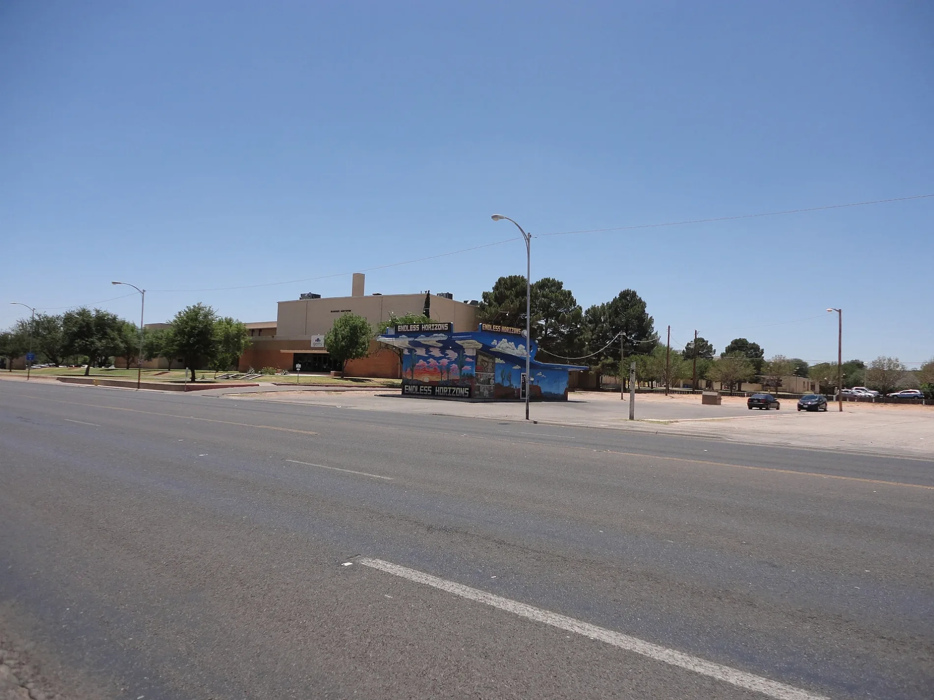
Circle Drive in Odessa is a residential street and it runs in a southeast-northwest direction starting from East 29th Street and ends at North Hancock Avenue. Circle Drive also exists in Travis County, Bexar County, Montgomery County, Harris County and Liberty County.
- Road Type
- residential street
- Route
- southeast-northwest
Image
Department stores
Pharmacies
Hardware stores
Clothing stores
Schools
Self storages
Beauty salons
Restaurants
Theaters
Cafes
Kindergartens
Places of worship
Variety stores
Laundries
Furniture stores
Massage therapy clinics
Auto parts stores
Streets nearby
East 29th Street0.1 mi
Muskingum Avenue0.2 mi
North Tom Green AvenueDavid S. Libson, W & B Replat
0.2 mi
East 31st Street0.2 mi
Halley Avenue0.2 mi
North Hancock AvenueKelly
0.2 mi
North Judkins Drive0.3 mi
Adams AvenueEdgemere, Iglesia Episcopal San Miguel Church, Park, Normandy Heights
0.3 mi
Bluebird Street0.3 mi
Eisenhower RoadHillside, Hilldale
0.3 mi
Stella Avenue0.3 mi
North Jackson AvenueOriginal Town, Bank of America
0.4 mi
Center AvenueSage Hills
0.4 mi
East 23rd StreetThe Barn Door, Normandy, Jackson Avenue Industrial Sites, Grant Avenue Industrial Sites
0.4 mi
East 25th Street0.4 mi
North Muskingum AvenueCrestwood, O'Neal's
0.4 mi
Roger Avenue0.5 mi
Nimitz DriveBodywork & Massage By Henry
0.5 mi
Milburn Avenue0.5 mi
Kay AvenueBrentwood
0.5 mi
Pershing Avenue0.5 mi
North Dixie Boulevard7-Eleven, Golden Chick, The Crab Station & Oyster Bar, Margarita Bar, Presotea
0.5 mi
Patton DriveParker Heights
0.6 mi
East University BoulevardRed Lobster, 7-Eleven, University Health Mart Pharmacy, Fire Station #3, Shrimp Boat, Hooters, Tequila Tony's, Chinese Kitchen, First Physicians East University Family Medicine, Fellowship Addition
0.6 mi
Walnut Avenue0.6 mi
Chestnut Avenue0.6 mi
Shops nearby
Security Finance0.2 mi
Auto parts stores nearby
AutoZone0.3 mi
Buildings nearby
Emergency Services Building0.2 mi
Cosmetology0.3 mi
Jack Rodgers Fine Arts Building0.3 mi
Haley Diesel Mechanics Training Center0.3 mi
Auto Mechanics Center0.3 mi
Deaderick Hall & Auditorium0.3 mi
WiFi Java Cyber Cafe0.3 mi
Dale's Signs0.4 mi
Colleges nearby
Bookstore0.3 mi
Drugstores nearby
CVS Pharmacy0.2 mi
Parks nearby
Modern Gardeners Park100 ft
Polythana South Park0.2 mi
Polythana North Park0.2 mi
Mark Henderson Park0.3 mi
Bellaire Park0.7 mi
Places of worship nearby
Redemption Chruch0.6 mi
Residential areas nearby
Brentwood0.5 mi
Royal Crest Apartments0.6 mi
Restaurants nearby
Texas Steak Express0.2 mi
Retail areas nearby
One Energy Square0.2 mi
Train stations nearby
Old Pecos Depot0.4 mi
Public transit map Odessa Legend
| Railway | |
| Bus | |
| Streetcar |
Bicycle map Odessa Legend
| Bike path | |
| Bike lane on roadway | |
| Cycling allowed on bus lane | |
| Bicycle street | |
| Open to cyclists | |
| Open to cyclists, good path | |
| Cycling prohibited | |
| Cobblestone |
| Long-distance bike route | (depending on scale) | |
| Long-distance bike route |
Pedestrian map Odessa Legend
| Path |
| Long-distance hiking trail | (depending on scale) | |
| Long-distance hiking trail | ||
| Pedestrians prohibited |